Hochgrab Graf Ottos II von Geldern and Niersaltarme und Mühlenteiche Loop via Mass Niederrheinpad E
Download
3D Flyover
Add to list
More
11.3 km
~2 hrs 23 min
73 m
Point-to-Point
“Explore the scenic and historic 11 km trail near Kreis Kleve, ideal for moderately skilled hikers.”
Starting near Kreis Kleve, Germany, the Hochgrab Graf Ottos II von Geldern and Niersaltarme und Mühlenteiche Loop via Mass Niederrheinpad E is a captivating 11 km (approximately 6.8 miles) point-to-point trail with no significant elevation gain, making it accessible for a wide range of hikers. The trail is estimated to be of medium difficulty, offering a balanced mix of natural beauty and historical intrigue.
Getting There
To reach the trailhead, you can drive or use public transport. If driving, head towards Kreis Kleve, where ample parking is available near the starting point. For those using public transport, the nearest significant landmark is the Kleve train station. From there, local buses or a short taxi ride can take you to the trailhead.
Trail Highlights
Historical Significance
The trail is steeped in history, named after Graf Otto II von Geldern, a notable figure in the region's medieval past. As you hike, you'll encounter several historical markers and plaques that provide insights into the area's rich heritage. The trail also passes by remnants of old mills and waterworks, which were integral to the local economy centuries ago.
Natural Beauty
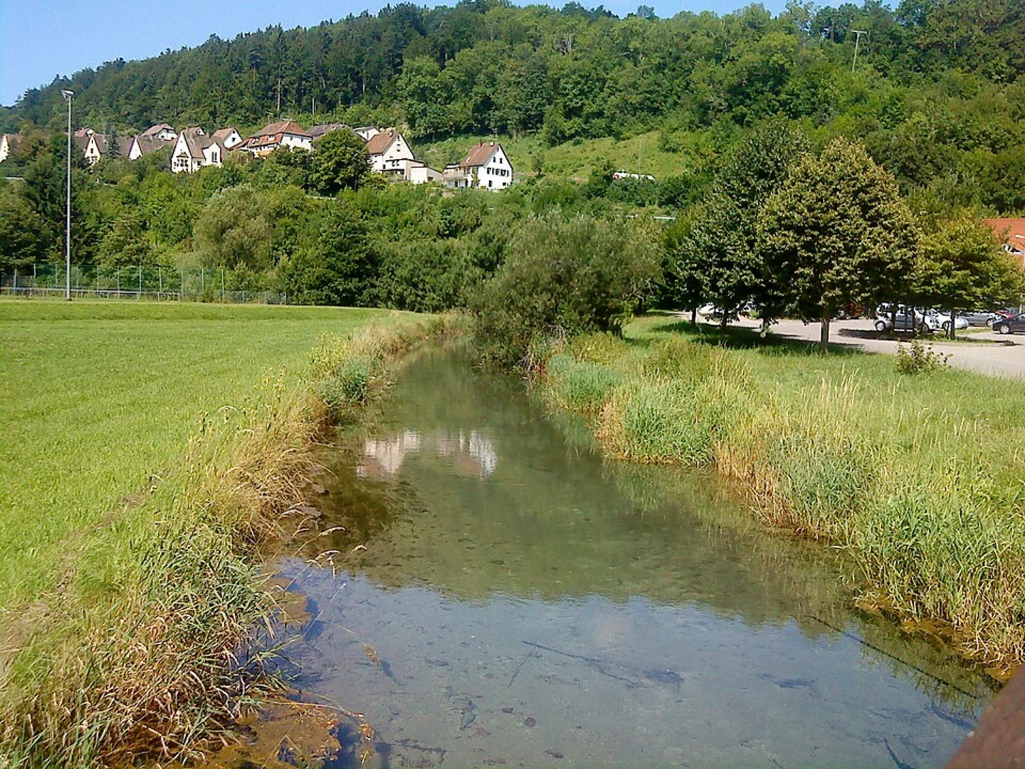
The trail meanders through a variety of landscapes, including serene forests, open meadows, and picturesque water bodies. The Niersaltarme and Mühlenteiche (mill ponds) are particularly stunning, offering tranquil spots perfect for a short rest or a picnic. Birdwatchers will be delighted by the diverse avian species that inhabit these wetlands.
Navigation and Waypoints
Using HiiKER for navigation is highly recommended to ensure you stay on track. The trail is well-marked, but having a reliable navigation tool can enhance your hiking experience. Key waypoints include:
- 0 km (0 miles): Trailhead near Kreis Kleve
- 3 km (1.9 miles): First mill pond, a great spot for birdwatching
- 5 km (3.1 miles): Historical marker for Graf Otto II von Geldern
- 8 km (5 miles): Niersaltarme, a serene water body ideal for a break
- 11 km (6.8 miles): End of the trail, near another accessible point for public transport or parking
Wildlife and Flora
The trail is home to a variety of wildlife, including deer, foxes, and numerous bird species. The flora is equally diverse, with lush forests of oak and beech trees, interspersed with wildflowers and ferns. Seasonal changes bring different hues and scents, making each hike a unique experience.
Practical Tips
- Footwear: Given the mixed terrain, sturdy hiking boots are recommended.
- Weather: Check the weather forecast before you go, as the trail can become muddy after rain.
- Supplies: Carry enough water and snacks, as there are limited facilities along the route.
- Safety: While the trail is generally safe, always inform someone of your hiking plans and estimated return time.
This trail offers a perfect blend of natural beauty and historical depth, making it a rewarding experience for any hiker.

What to expect?
Activity types
Comments and Reviews
User comments, reviews and discussions about the Hochgrab Graf Ottos II von Geldern and Niersaltarme und Mühlenteiche Loop via Mass Niederrheinpad E, Germany.
4.5
average rating out of 5
8 rating(s)