Download
3D Flyover
Add to list
More
7.9 km
~1 hrs 47 min
126 m
Loop
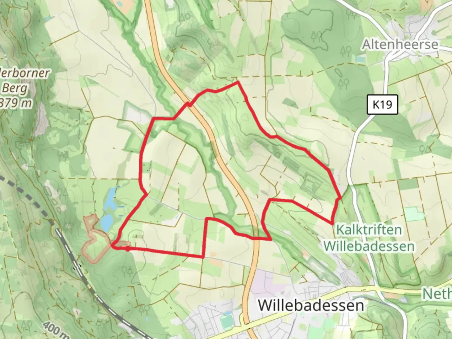
“The Hitgenheierweg Loop in Kreis Höxter, Germany, offers an 8 km scenic hike with historical landmarks and diverse wildlife.”
Starting near Kreis Höxter, Germany, the Hitgenheierweg Loop is an 8 km (approximately 5 miles) trail with an elevation gain of around 100 meters (328 feet). This loop trail is rated as medium difficulty, making it suitable for moderately experienced hikers.
Getting There
To reach the trailhead, you can drive or use public transportation. If driving, set your GPS to Kreis Höxter, Germany. For those using public transport, the nearest significant landmark is the Höxter Rathaus (Town Hall). From there, local buses or a short taxi ride can take you to the trailhead.
Trail Overview
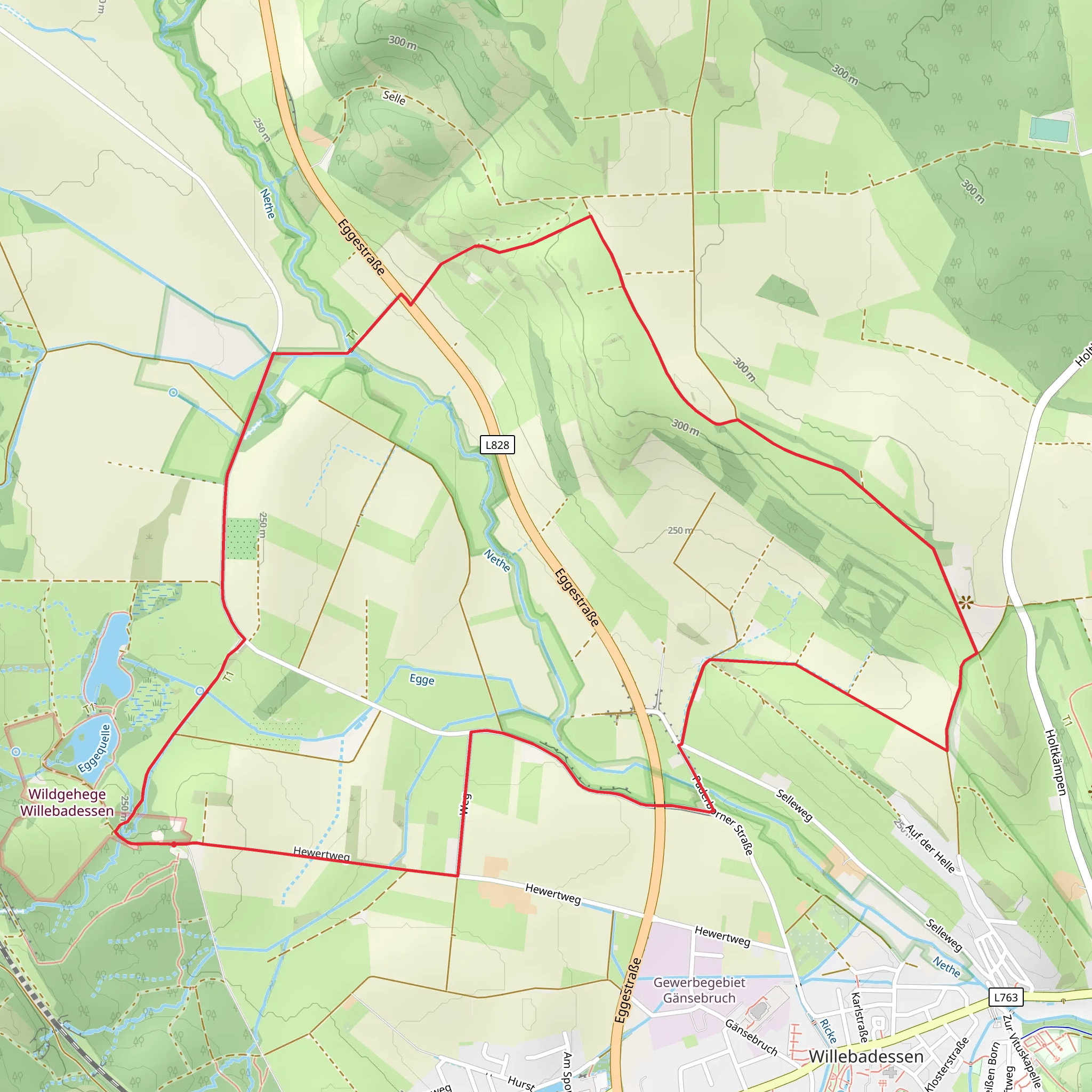
The Hitgenheierweg Loop offers a diverse hiking experience through the scenic landscapes of North Rhine-Westphalia. The trail is well-marked, but it's advisable to use HiiKER for navigation to ensure you stay on track.
Key Sections and Landmarks
Initial Ascent
Starting from the trailhead, the first section involves a gentle ascent through mixed woodlands. This initial climb is about 2 km (1.2 miles) and gains approximately 50 meters (164 feet) in elevation. The forest is home to a variety of bird species, so keep an eye out for woodpeckers and songbirds.
Midway Point
Around the 4 km (2.5 miles) mark, you'll reach a plateau that offers panoramic views of the surrounding countryside. This is an excellent spot for a break and some photography. The area is dotted with wildflowers in the spring and summer, adding a splash of color to the landscape.
Historical Significance
As you continue, you'll come across remnants of medieval structures, including an old watchtower. These ruins are a testament to the region's historical significance, dating back to the Middle Ages when this area was a strategic point for local rulers.
Wildlife and Flora
The trail then descends gently through a mixed forest of oak, beech, and pine. This section is about 3 km (1.8 miles) long and is relatively flat, making it a pleasant walk. Deer and wild boar are known to inhabit these woods, so stay alert and respect their habitat.
Final Stretch
The last 1 km (0.6 miles) of the trail loops back towards the starting point. This section is mostly flat and passes through open meadows, offering a different type of scenery. In the late summer, these meadows are often filled with butterflies and other pollinators.
Preparation Tips
Given the moderate difficulty of the trail, it's advisable to wear sturdy hiking boots and bring plenty of water, especially during the warmer months. The trail can be muddy after rain, so waterproof gear is recommended. Always check the weather forecast before heading out and consider downloading the trail map from HiiKER for offline use.
This loop trail offers a well-rounded hiking experience with a mix of natural beauty, historical landmarks, and diverse wildlife, making it a rewarding adventure for those who take it on.
What to expect?
Activity types
Comments and Reviews
User comments, reviews and discussions about the Hitgenheierweg Loop, Germany.
average rating out of 5
0 rating(s)
