
Download
3D Flyover
Add to list
More
3.4 km
~1 hrs 2 min
217 m
Point to Point
“The Baederweg trail in Kreis Höxter offers a scenic, medium-difficulty hike rich in natural and historical beauty.”
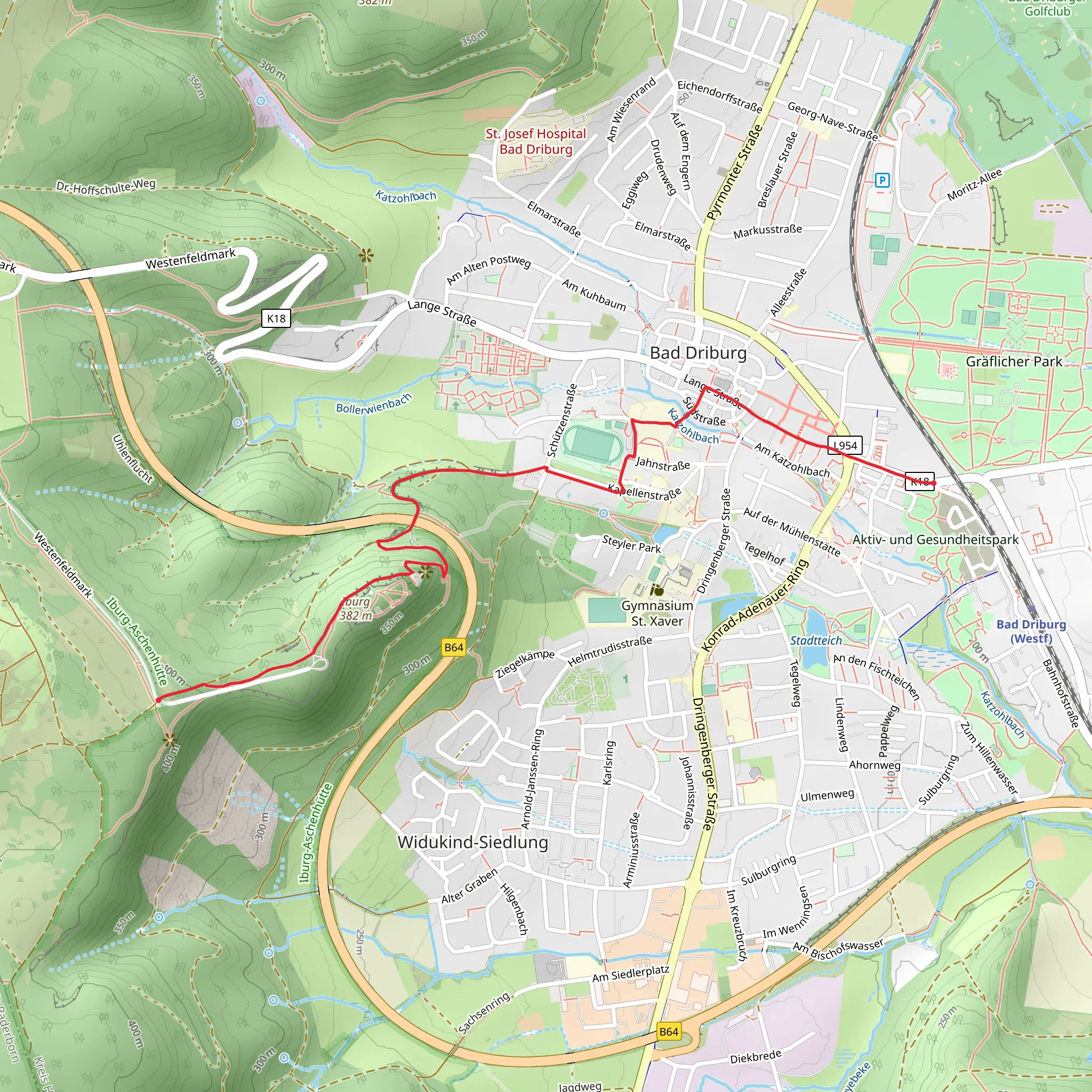
Starting near Kreis Höxter, Germany, the Baederweg trail offers a delightful 3 km (1.86 miles) journey with an elevation gain of approximately 200 meters (656 feet). This point-to-point trail is estimated to be of medium difficulty, making it suitable for moderately experienced hikers.
Getting There
To reach the trailhead, you can either drive or use public transport. If driving, set your GPS to Kreis Höxter, Germany, and look for parking options near the starting point. For those using public transport, the nearest significant landmark is the Höxter Rathaus (Town Hall). From there, local buses or a short taxi ride can take you to the trailhead.
Trail Overview
The Baederweg trail begins with a gentle ascent through a lush forest, where you will be greeted by a variety of native flora and fauna. Keep an eye out for European beech trees and the occasional red deer. The first 1 km (0.62 miles) involves a steady climb, gaining about 100 meters (328 feet) in elevation. This section is well-marked and offers several viewpoints where you can take in the scenic beauty of the surrounding landscape.
Historical Significance
As you continue, you will come across remnants of historical significance. The region around Kreis Höxter has a rich history dating back to medieval times. Approximately 1.5 km (0.93 miles) into the hike, you will encounter the ruins of an old watchtower, which once served as a lookout point for local villagers. This spot offers a panoramic view of the Weser River Valley, making it an excellent place for a short break and some photographs.
Navigational Tips
For navigation, it is highly recommended to use the HiiKER app, which provides detailed maps and real-time updates. The trail is generally well-marked, but having a reliable navigation tool can enhance your hiking experience and ensure you stay on the right path.
Flora and Fauna
The latter part of the trail takes you through a more open landscape, where wildflowers bloom in abundance during the spring and summer months. Birdwatchers will be delighted to spot species such as the European robin and the common blackbird. The final stretch of the trail involves a descent of about 100 meters (328 feet) over the last 1 km (0.62 miles), leading you to the endpoint.
Final Stretch
As you approach the end of the trail, you will find yourself near another significant landmark, the Corvey Abbey, a UNESCO World Heritage site. This Benedictine abbey, founded in the 9th century, is a must-visit for history enthusiasts. The trail concludes near this historic site, providing an enriching end to your hike.
Whether you're a seasoned hiker or someone looking to explore the natural and historical beauty of Kreis Höxter, the Baederweg trail offers a rewarding experience.
What to expect?
Activity types
Comments and Reviews
User comments, reviews and discussions about the Baederweg, Germany.
average rating out of 5
0 rating(s)
