Download
3D Flyover
Add to list
More
7.5 km
~1 hrs 44 min
143 m
Loop
“The 8 km Langerwehe Wanderrundweg trail blends lush nature, serene streams, and historical relics for an enriching hike.”
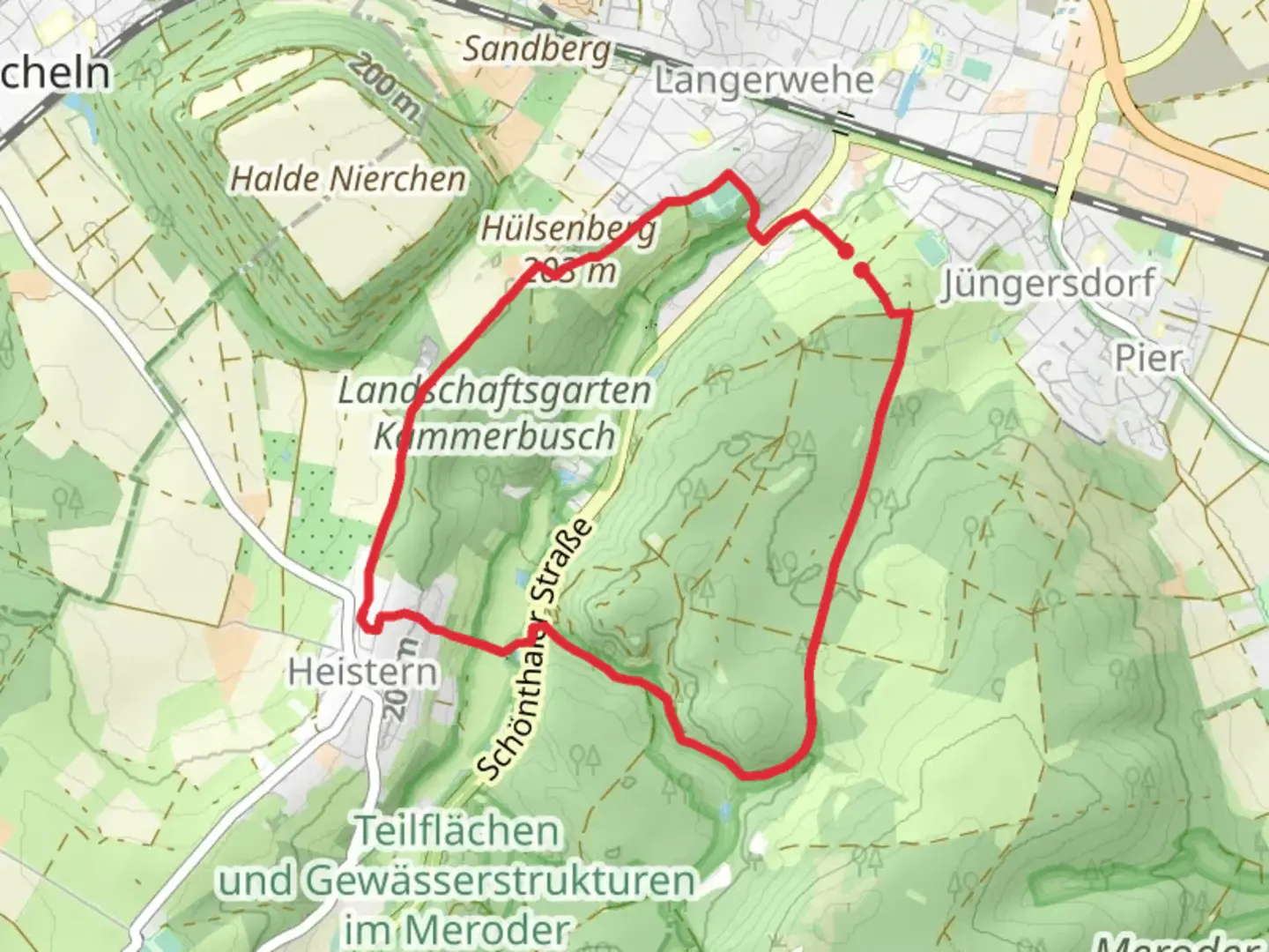
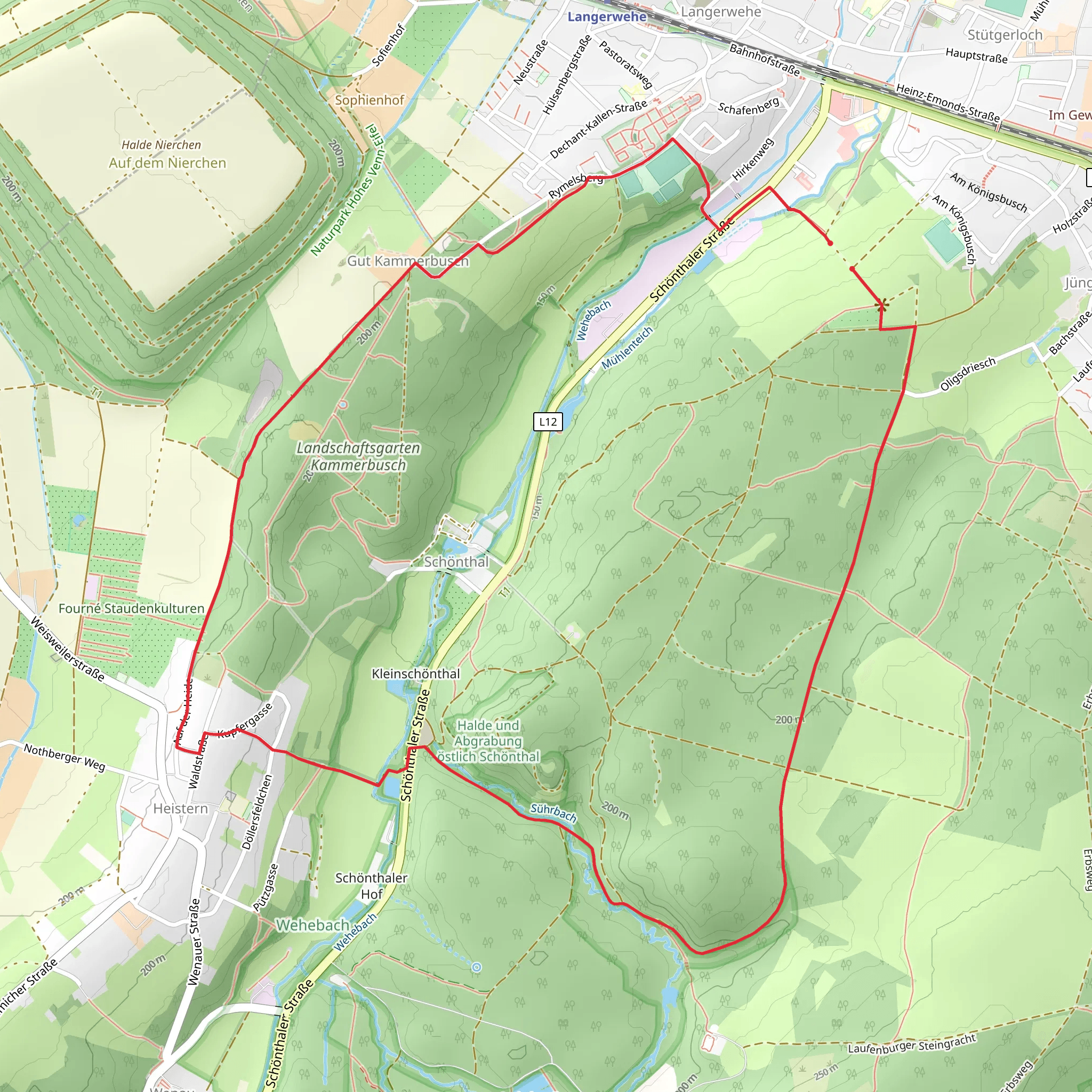
Starting near Kreis Düren, Germany, the Suehrbach and Wehebach via Langerwehe Wanderrundweg is an 8 km (approximately 5 miles) loop trail with an elevation gain of around 100 meters (328 feet). This medium-difficulty trail offers a delightful mix of natural beauty and historical significance, making it a rewarding experience for hikers.
Getting There
To reach the trailhead, you can drive or use public transport. If driving, set your GPS to Langerwehe, a small town in Kreis Düren. There are parking facilities available near the trailhead. For those using public transport, take a train to Langerwehe Station. From the station, it's a short walk to the starting point of the trail.
Trail Navigation
For navigation, it's highly recommended to use the HiiKER app, which provides detailed maps and real-time updates to ensure you stay on track.
Trail Highlights
Nature and Wildlife
The trail meanders through lush forests and alongside serene streams, offering a peaceful escape into nature. Keep an eye out for local wildlife, including deer, foxes, and a variety of bird species. The dense canopy of trees provides ample shade, making it a pleasant hike even during warmer months.
Suehrbach and Wehebach Streams
One of the trail's highlights is the Suehrbach and Wehebach streams. These clear, babbling brooks add a soothing soundtrack to your hike. There are several picturesque spots along the streams where you can take a break and enjoy the tranquil surroundings.
Historical Significance
Langerwehe
Langerwehe itself is steeped in history, dating back to Roman times. As you hike, you'll come across remnants of old mills and historical buildings that tell the story of the region's past. The town is also known for its pottery, with several workshops and a museum dedicated to this craft.
World War II Relics
The area around Kreis Düren saw significant action during World War II. As you hike, you may notice old bunkers and other wartime relics hidden among the trees. These serve as poignant reminders of the region's turbulent history.
Trail Sections
Initial Ascent
The trail begins with a gentle ascent, gaining about 50 meters (164 feet) in elevation over the first 2 km (1.2 miles). This section is relatively easy and offers beautiful views of the surrounding countryside.
Forest Path
Around the 3 km (1.8 miles) mark, the trail enters a dense forest. This section is particularly scenic, with tall trees and a soft forest floor. The elevation gain here is minimal, making it a comfortable walk.
Stream Crossings
At approximately 5 km (3.1 miles), you'll encounter the Suehrbach and Wehebach streams. There are several small bridges and stepping stones to help you cross. These crossings are generally easy but can be slippery after rain, so take care.
Final Stretch
The last 2 km (1.2 miles) of the trail loop back towards Langerwehe. This section is mostly downhill, making for a pleasant and easy finish to your hike. You'll pass through open fields and meadows, offering a different but equally beautiful landscape compared to the forested sections.
Preparation Tips
- Footwear: Wear sturdy hiking boots, especially if you plan to hike after rain when the trail can be muddy.
- Water and Snacks: Bring enough water and some snacks, as there are no facilities along the trail.
- Weather: Check the weather forecast before you go. The trail can be quite different in wet conditions.
- Navigation: Use the HiiKER app for real-time navigation and updates.
This trail offers a perfect blend of natural beauty and historical intrigue, making it a must-visit for any hiking enthusiast.
What to expect?
Activity types
Comments and Reviews
User comments, reviews and discussions about the Suehrbach and Wehebach via Langerwehe Wanderrundweg, Germany.
5.0
average rating out of 5
1 rating(s)
