Download
3D Flyover
Add to list
More
13.5 km
~3 hrs 27 min
465 m
Loop
“Embark on a captivating 13 km loop near Kreis Düren, blending natural beauty, history, and diverse wildlife.”
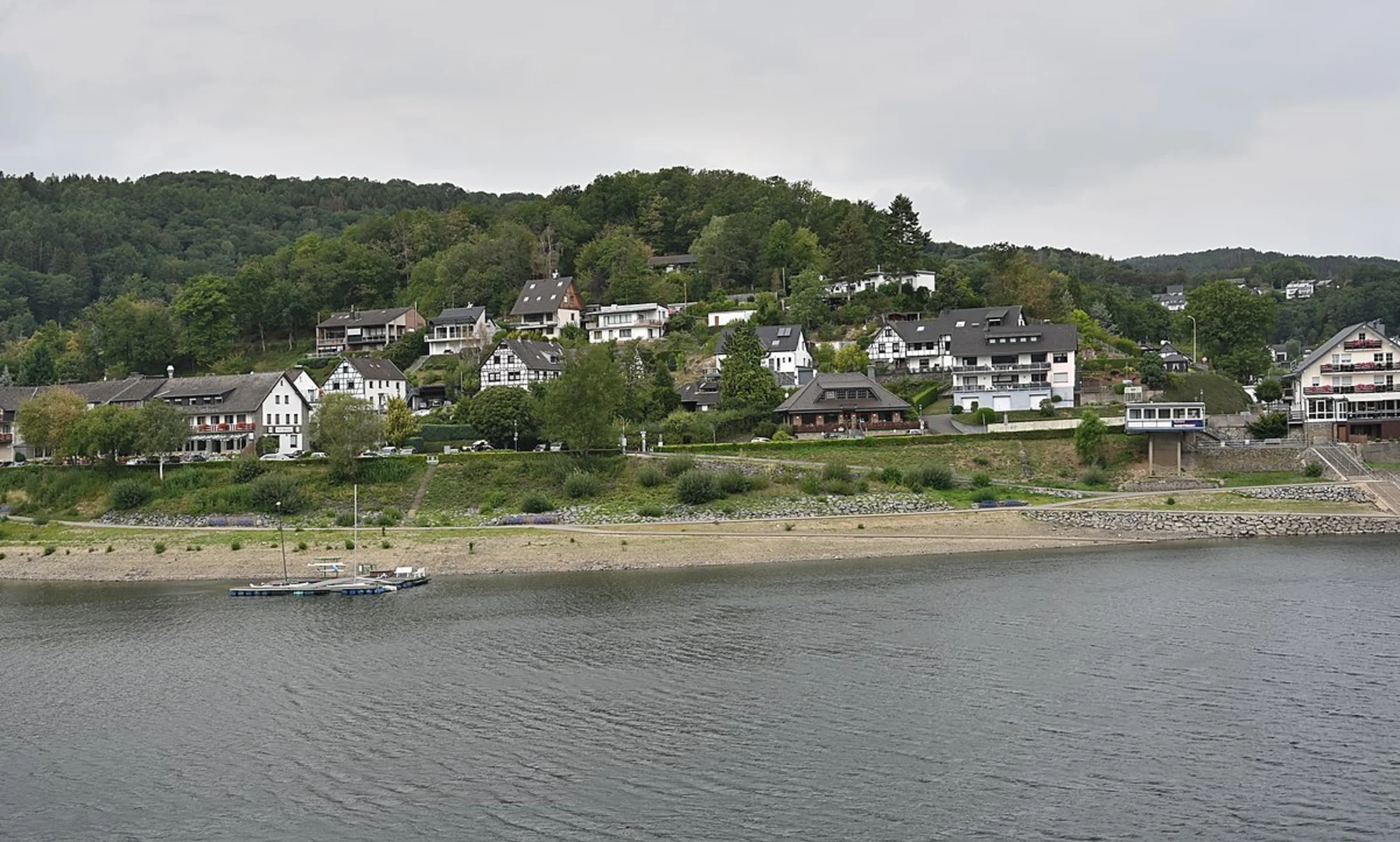
Starting your adventure near Kreis Düren, Germany, the Rur Reservoir via Wanderweg and Bachtaeler Hoehenroute is a captivating loop trail that spans approximately 13 km (8 miles) with an elevation gain of around 400 meters (1,312 feet). This medium-difficulty trail offers a blend of natural beauty, historical significance, and diverse wildlife, making it a rewarding experience for hikers.
Getting There
To reach the trailhead, you can either drive or use public transport. If you're driving, set your GPS to the vicinity of Kreis Düren, Germany. For those using public transport, take a train to Düren Station and then a local bus towards the Rur Reservoir area. The nearest significant landmark to the trailhead is the Rur Dam, which is well-signposted and easy to locate.
Trail Overview
The trail begins near the Rur Dam, a significant historical structure built in the early 20th century. As you start your hike, you'll be greeted by the serene waters of the Rur Reservoir, a popular spot for water sports and fishing. The initial part of the trail is relatively flat, making it an excellent warm-up for the more challenging sections ahead.
Key Sections and Landmarks
Wanderweg Segment
The first segment of the trail follows the Wanderweg path, which meanders through lush forests and open meadows. This part of the trail is well-marked and offers several viewpoints where you can catch glimpses of the reservoir below. Keep an eye out for local wildlife, including deer and various bird species. After approximately 5 km (3.1 miles), you'll start to notice a gradual incline as you approach the Bachtaeler Hoehenroute.
Bachtaeler Hoehenroute Segment
The Bachtaeler Hoehenroute is the more challenging part of the trail, featuring steeper ascents and rocky terrain. This section offers panoramic views of the surrounding Eifel region, known for its volcanic origins and rolling hills. The elevation gain here is about 300 meters (984 feet) over a distance of 4 km (2.5 miles), so be prepared for a bit of a workout. Along the way, you'll pass through dense forests and might even spot some rare plant species native to this area.
Historical Significance
The Rur Reservoir and its surrounding areas have a rich history. The reservoir itself was constructed between 1934 and 1938 and played a crucial role during World War II. The Rur Dam was a strategic point during the Battle of the Bulge, and remnants of wartime fortifications can still be found along the trail. These historical markers provide a poignant reminder of the region's past and add an educational element to your hike.
Navigation and Safety
Given the varied terrain and elevation changes, it's advisable to use a reliable navigation tool like HiiKER to stay on track. The trail is generally well-marked, but having a digital map can be incredibly helpful, especially in the more remote sections. Make sure to wear sturdy hiking boots and bring plenty of water, as there are limited facilities along the route.
Flora and Fauna
The trail is a haven for nature enthusiasts. In the spring and summer months, the meadows are awash with wildflowers, while the forests provide a cool, shaded respite. Birdwatchers will be delighted by the variety of species, including woodpeckers, hawks, and songbirds. The reservoir itself is home to several fish species, making it a popular spot for anglers.
Final Stretch
As you loop back towards the starting point, the trail descends gradually, offering a more relaxed end to your hike. The final 4 km (2.5 miles) take you along the edge of the reservoir, providing stunning water views and opportunities for a refreshing dip if the weather permits. The trail concludes back at the Rur Dam, where you can take a moment to reflect on the diverse landscapes and historical insights you've encountered.
This trail offers a perfect blend of natural beauty, physical challenge, and historical intrigue, making it a must-visit for any hiking enthusiast.

What to expect?
Activity types
Comments and Reviews
User comments, reviews and discussions about the Rur Reservoir via Wanderweg and Bachtaeler Hoehenroute, Germany.
4.75
average rating out of 5
4 rating(s)