Download
3D Flyover
Add to list
More
13.7 km
~3 hrs 17 min
336 m
Loop
“Explore a 14 km trail near Kreis Düren, Germany, offering panoramic views, historical landmarks, and diverse wildlife.”
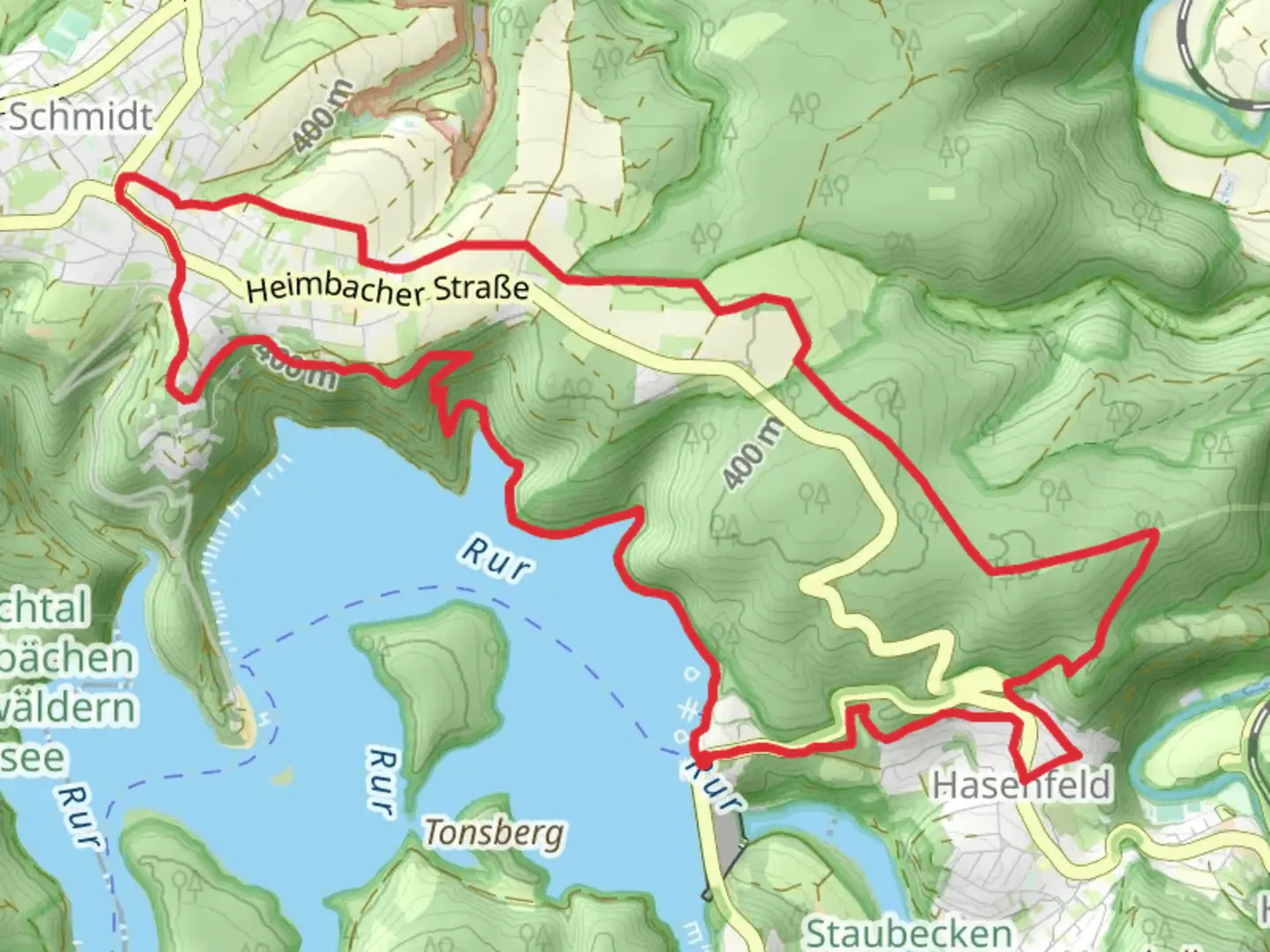
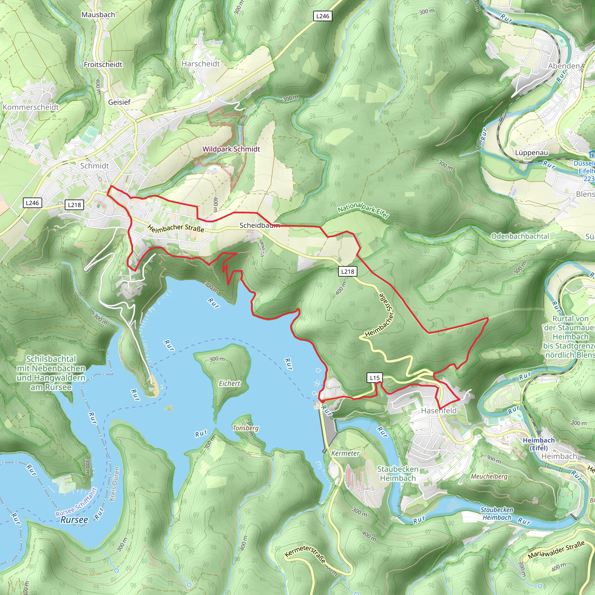
Starting your adventure near Kreis Düren, Germany, the Hubertushöhe, Kroenungsweg, and Eifeler Steilkueste Loop is a captivating 14 km (8.7 miles) loop trail with an elevation gain of approximately 300 meters (984 feet). This medium-difficulty trail offers a blend of natural beauty, historical landmarks, and diverse wildlife, making it a rewarding experience for hikers.
Getting There
To reach the trailhead, you can either drive or use public transport. If driving, set your GPS to Kreis Düren, Germany, and look for parking options near the trailhead. For public transport, take a train to Düren station and then a local bus to the nearest stop, which is a short walk from the trailhead.
Trail Highlights
Hubertushöhe
The trail begins with a gradual ascent towards Hubertushöhe, offering panoramic views of the surrounding landscape. As you climb, you'll pass through dense forests rich with oak and beech trees. Keep an eye out for local wildlife, including deer and various bird species. The first 3 km (1.9 miles) of the trail will take you up about 150 meters (492 feet) in elevation, providing a good warm-up for the rest of the hike.
Kroenungsweg
Continuing along the Kroenungsweg, the trail levels out and meanders through a mix of open meadows and wooded areas. This section is relatively flat, making it a great place to catch your breath and enjoy the scenery. Approximately 6 km (3.7 miles) into the hike, you'll come across historical markers and plaques that detail the region's rich history, including its significance during medieval times when it served as a route for royal processions.
Eifeler Steilkueste
The final section of the loop, Eifeler Steilkueste, is perhaps the most challenging but also the most rewarding. This part of the trail features steep cliffs and rugged terrain, offering breathtaking views of the Eifel region. The elevation gain here is about 150 meters (492 feet) over 5 km (3.1 miles), so be prepared for a bit of a workout. The cliffs are home to various bird species, including peregrine falcons, so bring your binoculars if you're a bird-watching enthusiast.
Navigation and Safety
Given the varied terrain and historical landmarks, it's advisable to use a reliable navigation tool like HiiKER to stay on track. The trail is well-marked, but having a digital map can provide additional peace of mind. Wear sturdy hiking boots and bring plenty of water, especially during the warmer months. The trail can be slippery after rain, so exercise caution on the steeper sections.
Flora and Fauna
Throughout the hike, you'll encounter a diverse range of flora and fauna. The forests are home to wild boar, foxes, and a variety of bird species. In the spring and summer, the meadows burst into color with wildflowers, attracting butterflies and bees. The Eifeler Steilkueste section, with its rocky cliffs, provides a unique habitat for specialized plant species and nesting birds.
Historical Significance
The region around Kreis Düren has a rich history dating back to medieval times. The Kroenungsweg section of the trail was historically used for royal processions, adding a layer of historical intrigue to your hike. Informational plaques along the trail provide insights into the area's past, making it a culturally enriching experience as well.
Embark on this 14 km (8.7 miles) loop trail to enjoy a blend of natural beauty, historical landmarks, and diverse wildlife. Whether you're a seasoned hiker or a history enthusiast, this trail offers something for everyone.
What to expect?
Activity types
Comments and Reviews
User comments, reviews and discussions about the Hubertushöhe, Kroenungsweg and Eifeler Steilkueste Loop, Germany.
4.67
average rating out of 5
6 rating(s)
