Download
3D Flyover
Add to list
More
8.4 km
~1 hrs 42 min
12 m
Loop
“Embark on a serene 8 km loop through lush forests and meadows in Hohe Mark Nature Park.”
Starting near Kreis Coesfeld, Germany, the Stever via Hohe Mark Steig trail is an 8 km (approximately 5 miles) loop with no significant elevation gain, making it a relatively flat hike. This trail is estimated to be of medium difficulty, suitable for hikers with a moderate level of fitness.
Getting There
To reach the trailhead, you can drive or use public transport. If driving, set your GPS to Kreis Coesfeld, Germany, and look for parking options near the starting point. For those using public transport, the nearest major town is Coesfeld, which is well-connected by train. From Coesfeld, you can take a local bus or taxi to the trailhead.
Trail Navigation
For navigation, it is highly recommended to use HiiKER, which provides detailed maps and real-time updates to ensure you stay on track.
What to Expect
The trail meanders through the picturesque Hohe Mark Nature Park, offering a serene escape into nature. As you start, you'll be greeted by lush forests and open meadows. The trail is well-marked, but always keep an eye on your HiiKER app to stay oriented.
Flora and Fauna
The Hohe Mark Nature Park is home to a diverse range of flora and fauna. Depending on the season, you might encounter wildflowers, dense woodlands, and a variety of bird species. Keep your eyes peeled for deer and other small mammals that inhabit the area.
Significant Landmarks
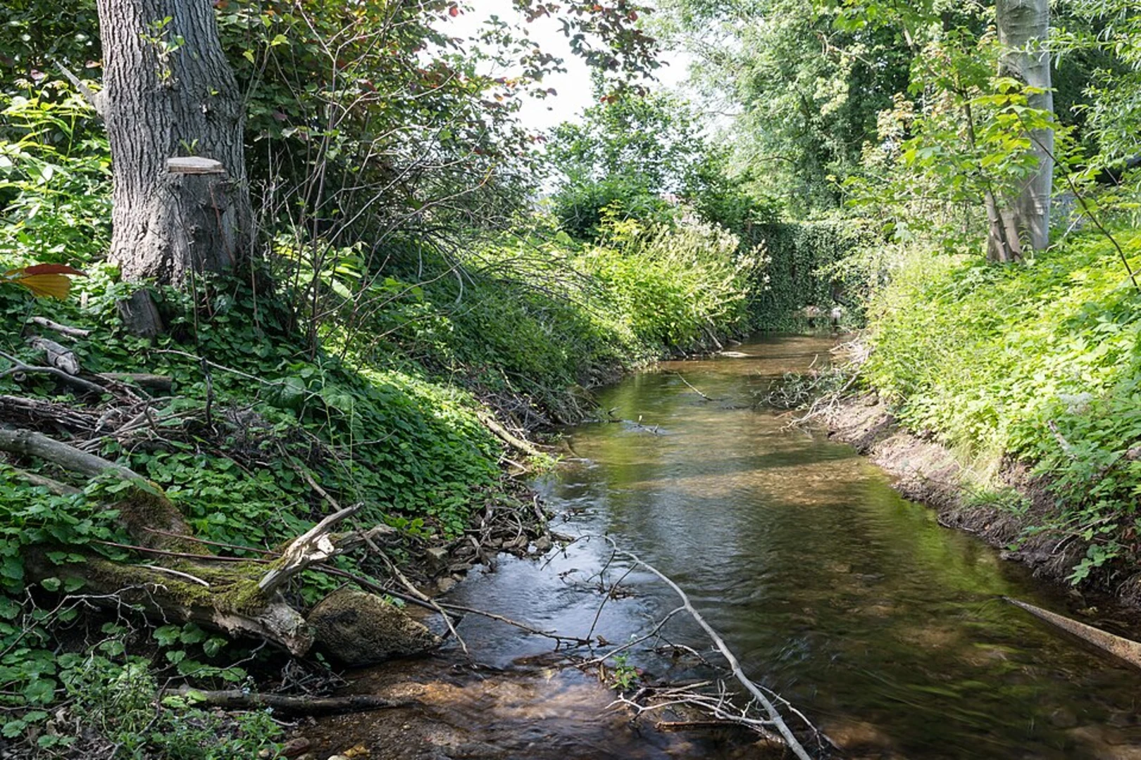
Around the 3 km (1.86 miles) mark, you'll come across the Stever River, a tranquil spot perfect for a short break. The river is a significant natural feature of the region, providing a habitat for various aquatic species.
Historical Significance
The region around Kreis Coesfeld has a rich history dating back to medieval times. While the trail itself is primarily a natural experience, the nearby town of Coesfeld boasts historical landmarks such as the Coesfeld Cross and St. Lambert's Church, which are worth a visit if you have extra time.
Practical Tips
- Footwear: Given the flat terrain, comfortable hiking shoes are sufficient.
- Weather: Check the weather forecast before you go. The trail can be muddy after rain.
- Supplies: Bring enough water and snacks, as there are no facilities along the trail.
- Wildlife: Respect the local wildlife by keeping a safe distance and not feeding the animals.
Final Stretch
As you loop back towards the starting point, you'll pass through more scenic woodlands and meadows, offering a peaceful end to your hike. The entire loop should take around 2-3 hours to complete, depending on your pace and how often you stop to take in the surroundings.

What to expect?
Activity types
Comments and Reviews
User comments, reviews and discussions about the Stever via Hohe Mark Steig, Germany.
4.67
average rating out of 5
3 rating(s)