Download
3D Flyover
Add to list
More
82.0 km
~3 days
184 m
Multi-Day
“A big-sky lowland ramble of lanes and fields, where endurance, foot care, and quiet history matter.”
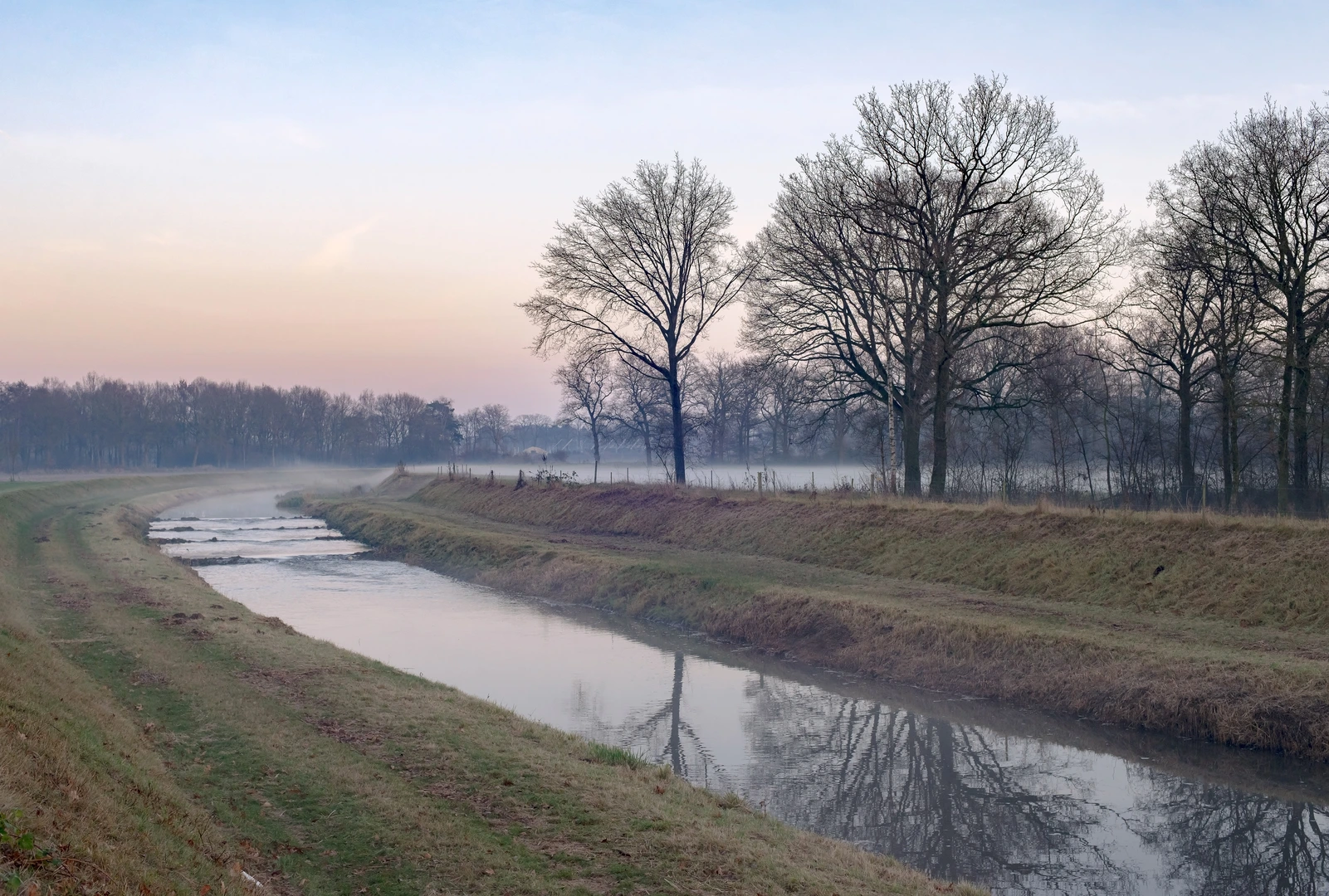
This is a long, low-relief point-to-point walk of roughly 82 km (51 miles) with only about 200 m (656 ft) of total ascent, so the challenge is less about steep climbing and more about time on feet, foot care, and staying oriented through a patchwork of fields, lanes, and small settlements. Expect a predominantly flat route with frequent surface changes—farm tracks, compacted gravel, short paved connectors, and occasional softer ground where drainage is poor.
Getting to the start (Gerwinghook area) and planning the finish (Deventer)
Because “Gerwinghook” can refer to a small locality/area name rather than a single signed trailhead, the most reliable approach is to pin the exact start point in HiiKER and then choose the nearest practical access point (parking pull-in, village street, or bus stop) to that pin.
- By car: Plan to park in the nearest village or at a public parking area close to your HiiKER start pin. In this region, parking is often easiest near churches, village halls, or sports fields—look for signed public lots rather than farm entrances. Avoid blocking field gates; agricultural traffic is constant.
- By public transport: For a point-to-point of this length, it’s usually simplest to:
- Travel to a nearby rail/bus hub, then take a local bus toward the start-side villages (depending on where your HiiKER pin lands).
- Finish in Deventer, which is well-connected by rail and bus, making it a practical endpoint for returning to your car (via train/bus) or continuing onward.
If you share the start coordinates (or a HiiKER link), I can translate them to the nearest recognizable address/landmark and suggest the most sensible parking/transit nodes.
What the terrain feels like over 82 km (51 miles)
With only ~200 m (656 ft) of gain spread across the whole distance, you’ll notice elevation mostly as gentle rises over dikes, embankments, and subtle river/stream terraces rather than “hills.” The route name suggests you’ll pass via Der Galgenbuetten and Looweg, which typically indicates: - Der Galgen… place-names often relate historically to a gallows hill/field—a site that may have been used for public justice or as a boundary marker. Even when no structure remains, these spots can sit on slightly higher ground or at old jurisdiction lines. - …weg (like Looweg) usually means a road/way—often a straight, practical connector between farms, hamlets, and older estate lands. Expect easy walking but occasional traffic where the “weg” is paved and used by locals.
Because the route is long and easy-graded, plan it like an endurance day (or a 2-day outing): - Single-day pace: Many hikers average 4–5 km/h (2.5–3.1 mph) on flat ground, but breaks add up. 82 km commonly becomes a 16–20 hour day for most people. - Two-day option: Splitting into ~40 km (25 miles) days makes it far more comfortable and reduces blister risk.
Navigation and wayfinding (keep it smooth)
This kind of countryside traverse can have many similar-looking junctions: field corners, drainage ditches, and parallel farm tracks. Use HiiKER to: - Download the route for offline use. - Watch for short “dogleg” connectors between tracks—these are easy to miss. - Confirm you’re on the correct side of canals/ditches; sometimes a track continues but becomes private or dead-ends at a farmyard.
Common navigation pitfalls on flat agricultural routes: - Seasonal diversions (mud, crop protection, temporary closures). - Unmarked private drives that look like public tracks. - Parallel paths running 20–50 m apart along a ditch or hedgerow.
Landmarks, landscape character, and what you’ll see
You’re walking through a classic lowland cultural landscape where the “scenery” is often about big skies, long sightlines, and subtle historical layers rather than dramatic peaks.
Agricultural mosaic and hedgerows - Expect open fields (often pasture and arable), hedgerows, and small woodlots. - In wetter patches, you may see reedier margins and drainage channels—these can be surprisingly wildlife-rich.
Historic route logic - Many of these lanes and tracks follow older property boundaries and historic rights-of-way. Place-names like “Galgen…” can hint at medieval/early-modern jurisdictional geography—execution sites were often placed where they were visible from main approaches, serving as a warning and a boundary statement.
Approaching Deventer - As you near Deventer, the landscape typically becomes more urban-fringed: more cycle traffic, more paved surfaces, and a gradual shift from farm quiet to city movement. - Deventer itself is one of the Netherlands’ older historic cities, with a long mercantile past tied to river trade and medieval urban development. Even if your route doesn’t detour into the center, you’ll feel the transition in infrastructure and foot/cycle traffic.
Nature and wildlife to look out for
Even on “easy” farmland routes, wildlife viewing can be excellent if you’re attentive: - Birdlife: Expect common lowland species—waterfowl and waders near ditches and wet fields, plus raptors (kestrel/buzzard) hunting over open ground. - Mammals: Hares and rabbits are frequent in open fields; foxes are

Surfaces
Unknown
Asphalt
Grass
Sand
Concrete
Dirt
Ground
Unpaved
Cobblestone
Wood
Comments and Reviews
User comments, reviews and discussions about the Gerwinghook to Deventer via der Galgenbuetten and Looweg, Germany.
average rating out of 5
0 rating(s)