Download
3D Flyover
Add to list
More
5.2 km
~1 hrs 27 min
252 m
Loop
“Explore Kreis Bergstraße's stunning 5 km loop, blending natural beauty, history, and moderate hiking challenges.”
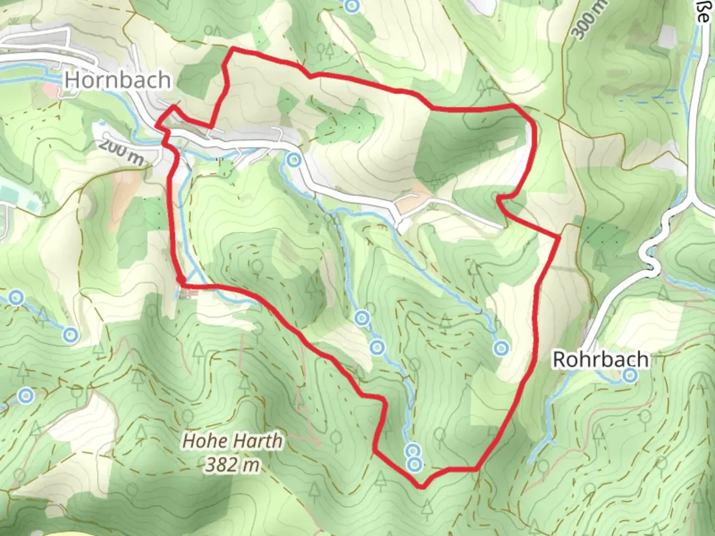
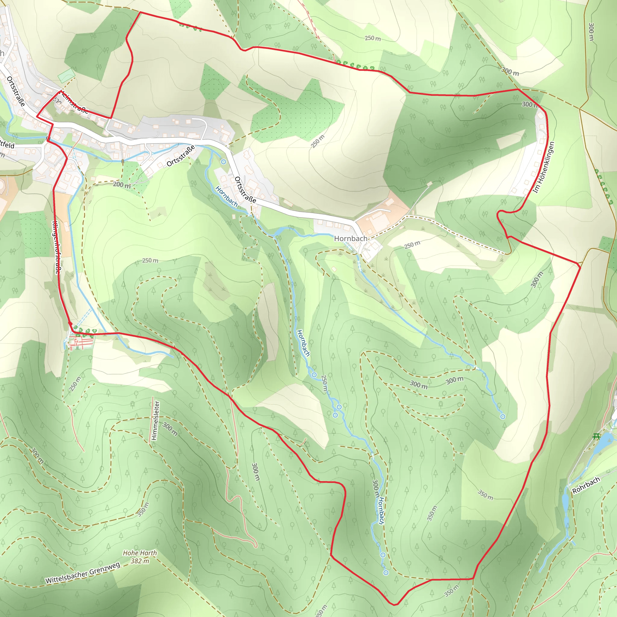
Starting near Kreis Bergstraße, Germany, the Rundwanderweg and Rohrbacher Hoehe Loop is a delightful 5 km (3.1 miles) loop trail with an elevation gain of approximately 200 meters (656 feet). This medium-difficulty trail offers a blend of natural beauty, historical landmarks, and a moderate challenge suitable for most hikers.
Getting There
To reach the trailhead, you can drive or use public transport. If driving, set your GPS to Kreis Bergstraße, Germany. For those using public transport, take a train to the nearest station in Heppenheim (Bergstraße) and then a local bus or taxi to the trailhead.
Trail Overview
The trail begins with a gentle ascent through a mixed forest, offering a serene start to your hike. As you progress, the path becomes steeper, leading you to the Rohrbacher Hoehe. This section is particularly rewarding, providing panoramic views of the surrounding landscape, including the Odenwald forest and the Rhine Valley.
Key Landmarks and Points of Interest
- Rohrbacher Hoehe: At approximately 2 km (1.2 miles) into the hike, you'll reach the Rohrbacher Hoehe. This high point offers stunning vistas and is an excellent spot for a short break.
- Historical Significance: The region around Kreis Bergstraße has a rich history dating back to Roman times. Keep an eye out for old stone markers and remnants of ancient pathways that hint at the area's historical significance.
- Flora and Fauna: The trail is home to a variety of plant and animal species. Look out for wildflowers in the spring and summer, and you might even spot deer or wild boar in the quieter sections of the forest.
Navigation and Safety
Using HiiKER for navigation is highly recommended to ensure you stay on track. The trail is well-marked, but having a reliable navigation tool can provide peace of mind. The terrain can be uneven, so sturdy hiking boots are advisable. Also, bring sufficient water and snacks, especially if you plan to take your time and enjoy the scenery.
Final Stretch
The descent back to the trailhead is gradual, allowing you to enjoy the final leg of your hike without too much strain. As you near the end, the forest opens up, and you'll find yourself back where you started, completing a rewarding loop that showcases the natural and historical beauty of the Kreis Bergstraße region.
What to expect?
Activity types
Comments and Reviews
User comments, reviews and discussions about the Rundwanderweg and Rohrbacher Hoehe Loop, Germany.
4.5
average rating out of 5
4 rating(s)
