Download
Preview
Add to list
More
7.6 km
~2 hrs 3 min
319 m
Loop
“The Neckar and Hungerberg trail is an 8 km loop blending natural beauty, history, and diverse wildlife.”
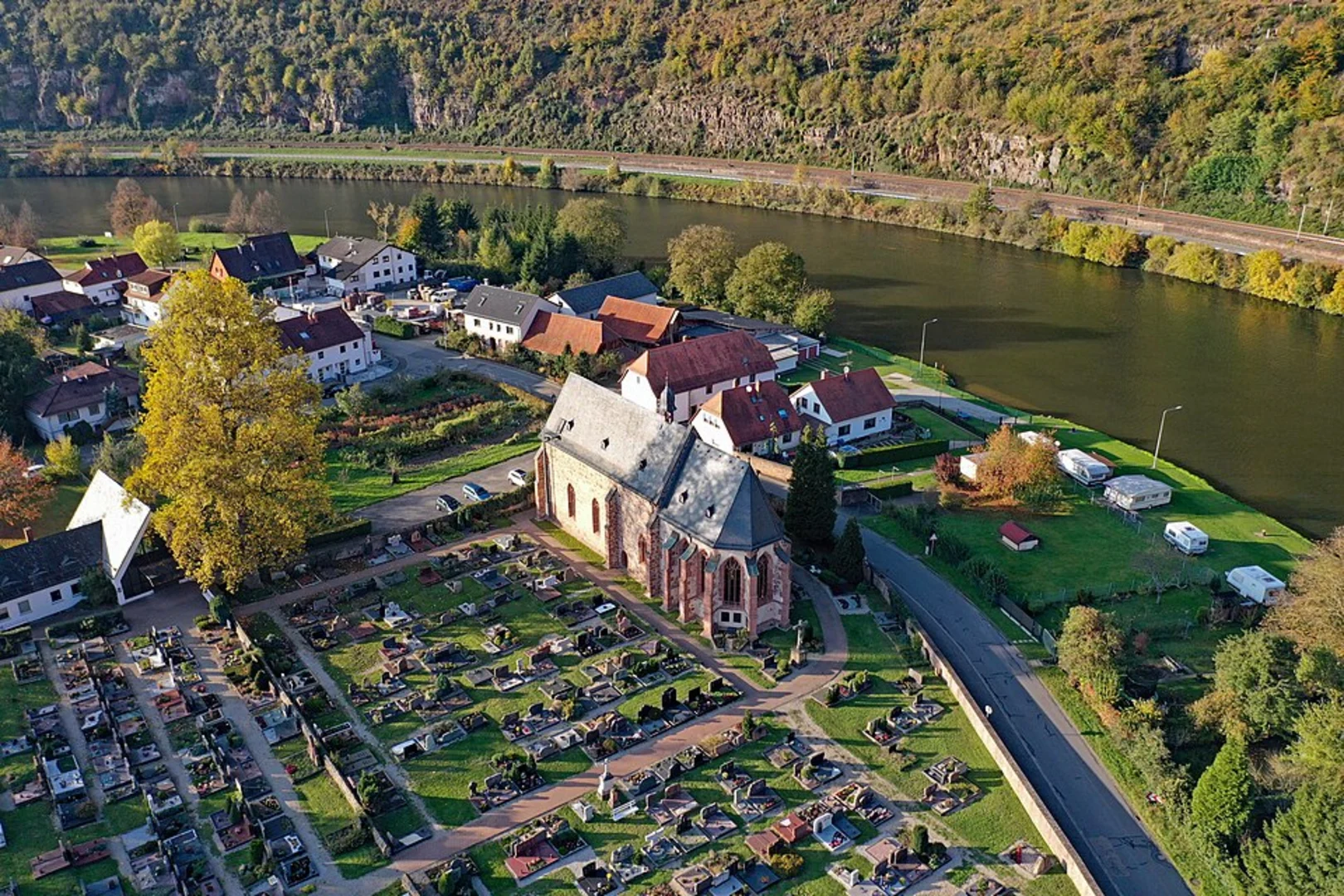
Starting near Kreis Bergstraße, Germany, the Neckar and Hungerberg trail is a captivating 8 km (5 miles) loop with an elevation gain of approximately 300 meters (984 feet). This medium-difficulty hike offers a blend of natural beauty, historical landmarks, and diverse wildlife, making it a rewarding experience for both novice and seasoned hikers.
Getting There
To reach the trailhead, you can drive or use public transport. If driving, set your GPS to Kreis Bergstraße, Germany, and look for parking options near the trailhead. For those using public transport, take a train or bus to the nearest station in Kreis Bergstraße. From there, local buses or a short taxi ride will get you to the starting point.
Trail Overview
The trail begins with a gentle ascent through lush forests, where you can enjoy the serene ambiance and the sound of rustling leaves. As you progress, the path becomes steeper, offering a moderate challenge. Keep an eye out for well-marked signs to stay on track, and consider using the HiiKER app for precise navigation.
Landmarks and Points of Interest
- Neckar River Views: Approximately 2 km (1.2 miles) into the hike, you'll reach a vantage point offering stunning views of the Neckar River. This is an excellent spot for a short break and some photography.
- Hungerberg Plateau: At around the 4 km (2.5 miles) mark, you'll arrive at the Hungerberg Plateau. This area is rich in history, with remnants of ancient settlements and old stone structures. Take some time to explore and imagine the lives of those who once inhabited this region.
- Wildlife and Flora: The trail is home to a variety of wildlife, including deer, foxes, and numerous bird species. The flora is equally diverse, with oak, beech, and pine trees dominating the landscape. During spring and summer, wildflowers add a splash of color to the scenery.
Historical Significance
The region around Kreis Bergstraße has a rich history dating back to Roman times. The Neckar River was a crucial trade route, and the surrounding hills were often used for strategic military purposes. As you hike, you'll come across several historical markers and information boards detailing the area's past.
Final Stretch
The last 2 km (1.2 miles) of the trail take you through a series of gentle descents and flat sections, making for a relaxing end to your hike. You'll pass through open meadows and small wooded areas before looping back to the starting point.
Preparation Tips
- Footwear: Wear sturdy hiking boots with good ankle support.
- Weather: Check the weather forecast and dress in layers, as conditions can change rapidly.
- Supplies: Bring enough water and snacks to keep your energy levels up.
- Navigation: Use the HiiKER app to ensure you stay on the correct path.
This trail offers a perfect mix of natural beauty, historical intrigue, and moderate physical challenge, making it a must-visit for anyone in the region.

Comments and Reviews
User comments, reviews and discussions about the Neckar and Hungerberg, Germany.
4.4
average rating out of 5
5 rating(s)