Download
3D Flyover
Add to list
More
6.7 km
~1 hrs 48 min
283 m
Loop
“Explore 7 km of lush forests, historic landmarks, and scenic views in Kreis Bergstraße, Germany.”
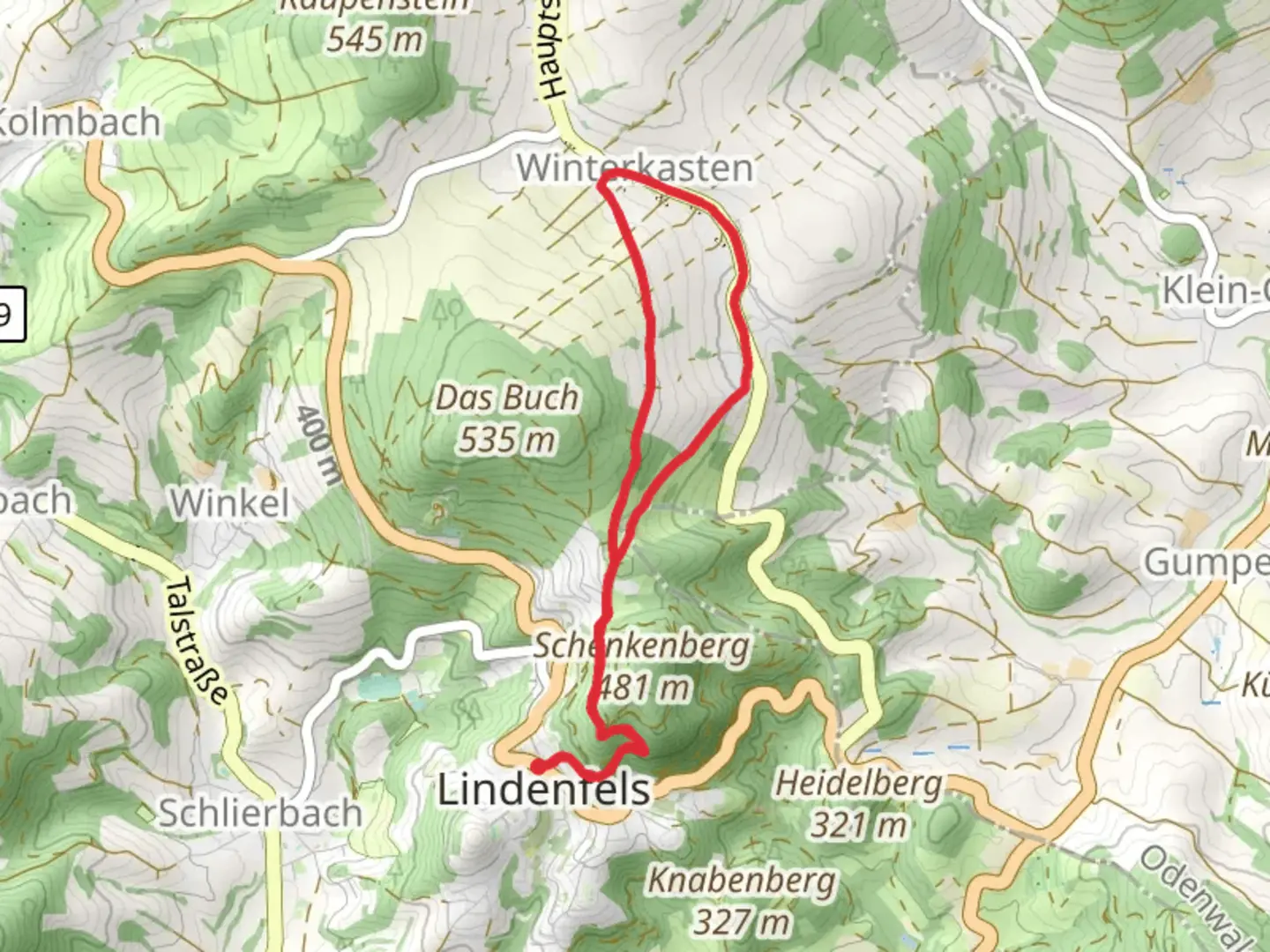
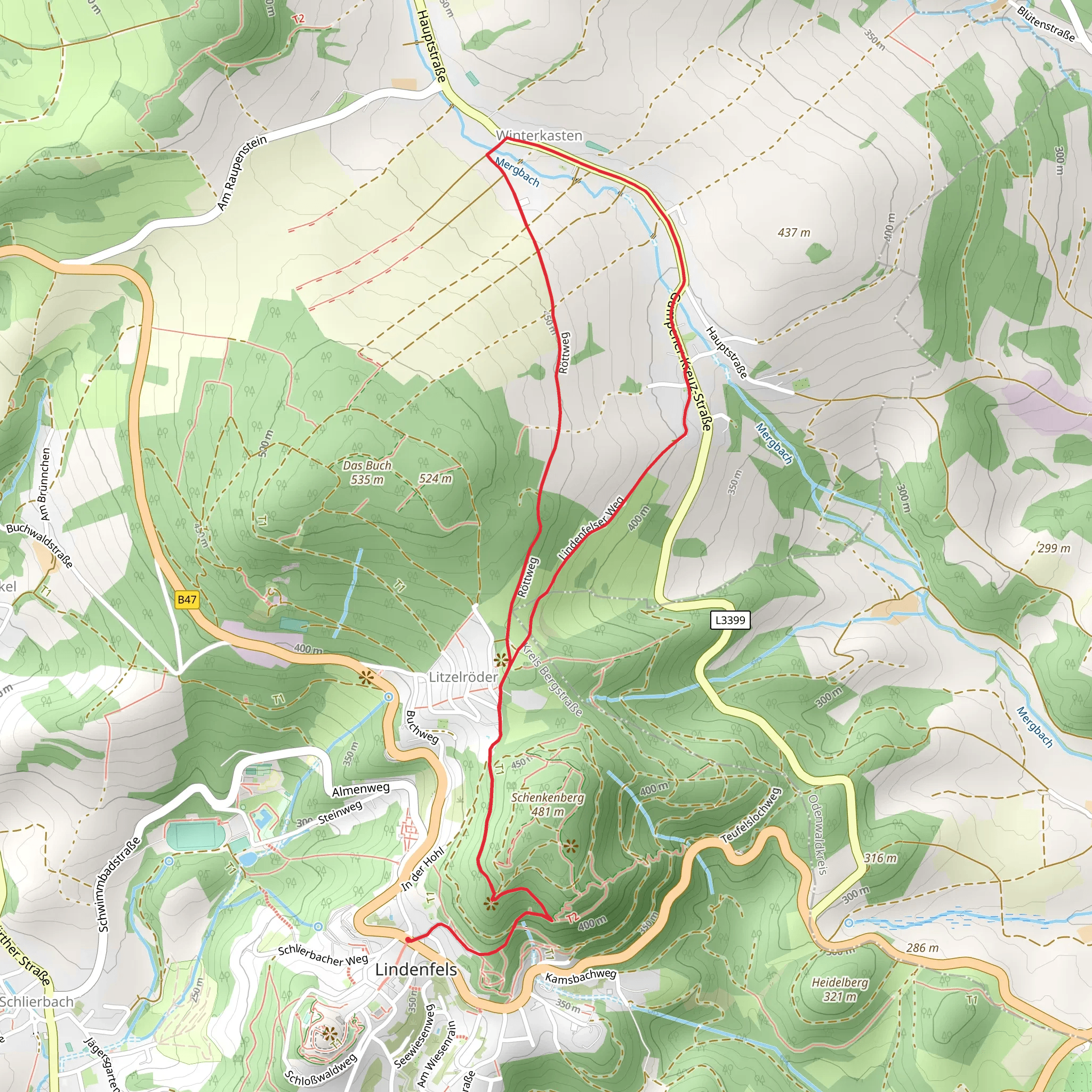
Starting near Kreis Bergstraße, Germany, the Main Stromberg Weg and Camino Incluso trail offers a delightful 7 km (approximately 4.35 miles) loop with an elevation gain of around 200 meters (656 feet). This medium-difficulty trail is perfect for those looking to explore the natural beauty and historical richness of the region.
Getting There
To reach the trailhead, you can either drive or use public transport. If driving, set your GPS to Kreis Bergstraße, Germany. For those relying on public transport, take a train to the Heppenheim (Bergstr) station. From there, local buses or a short taxi ride will get you to the trailhead.
Trail Overview
The trail begins with a gentle ascent through lush forests, offering a serene start to your hike. As you progress, you'll encounter a mix of deciduous and coniferous trees, providing a diverse canopy overhead. The first significant landmark is the historic Starkenburg Castle, located about 2 km (1.24 miles) into the hike. This medieval fortress offers panoramic views of the surrounding countryside and is a great spot for a short break.
Flora and Fauna
The trail is rich in biodiversity. Keep an eye out for native wildlife such as deer, foxes, and a variety of bird species. The flora is equally impressive, with wildflowers blooming in the spring and summer months, adding a splash of color to the landscape.
Historical Significance
The region around Kreis Bergstraße has a deep historical significance. The trail itself passes through areas that have been inhabited since Roman times. You'll find remnants of ancient Roman roads and settlements along the way. The Starkenburg Castle, built in the 11th century, stands as a testament to the area's medieval history.
Navigation
For navigation, it's highly recommended to use the HiiKER app, which provides detailed maps and real-time updates. The trail is well-marked, but having a reliable navigation tool will ensure you stay on track.
Mid-Trail Highlights
Around the 4 km (2.48 miles) mark, you'll reach a scenic viewpoint overlooking the Rhine Valley. This spot is perfect for taking photos and enjoying a picnic. The elevation gain here is about 150 meters (492 feet), making it one of the more challenging sections of the trail.
Final Stretch
The last 3 km (1.86 miles) of the trail take you through open meadows and vineyards, offering a different but equally beautiful landscape. The descent is gradual, making for a pleasant end to your hike. As you loop back to the starting point, you'll pass through small, picturesque villages where you can stop for a refreshing drink or a bite to eat.
Practical Tips
- Wear sturdy hiking boots as the trail can be uneven in places.
- Bring plenty of water, especially during the warmer months.
- Check the weather forecast before heading out, as conditions can change rapidly.
- Use the HiiKER app for navigation and to stay updated on trail conditions.
This trail offers a perfect blend of natural beauty, historical landmarks, and moderate physical challenge, making it a rewarding experience for hikers of all levels.
What to expect?
Activity types
Comments and Reviews
User comments, reviews and discussions about the Main Stromberg Weg and Camino Incluso, Germany.
5.0
average rating out of 5
2 rating(s)
