Download
3D Flyover
Add to list
More
7.7 km
~1 hrs 48 min
166 m
Out and Back
“Escape into serenity on this lush, accessible trail near Kaiserslautern's picturesque Gelterswoog lake.”
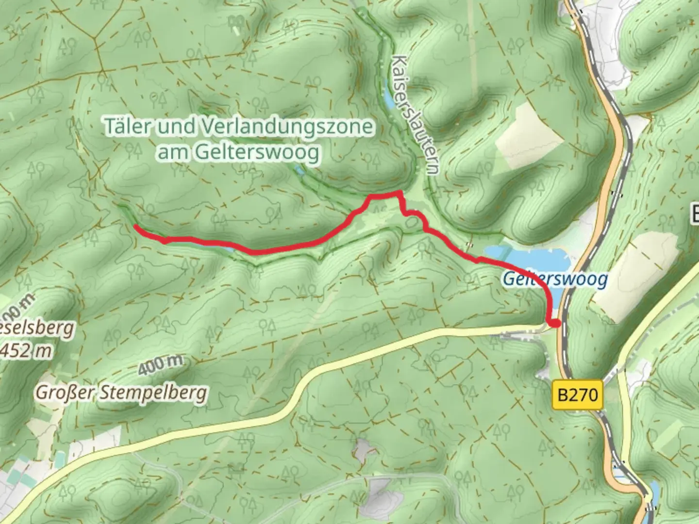
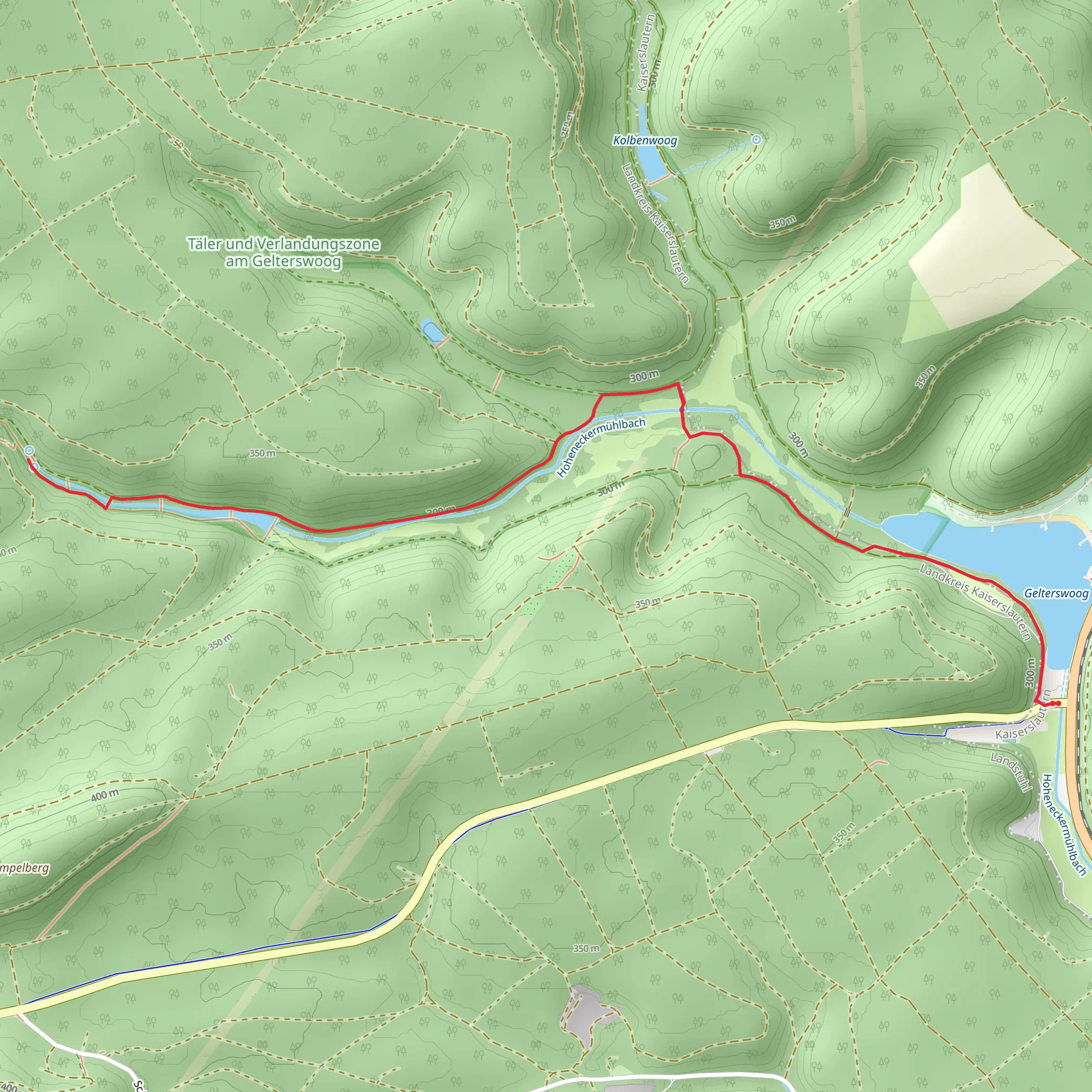
Nestled near the charming city of Kaiserslautern, Germany, the Täler und Verlandungszone am Gelterswoog trail offers a serene escape into nature. This easy, out-and-back trail stretches approximately 8 kilometers (about 5 miles) with virtually no elevation gain, making it accessible for hikers of all skill levels. The trailhead is conveniently located near the Gelterswoog lake, a popular recreational area known for its picturesque scenery and tranquil waters.
Getting There
For those traveling by car, the trailhead is easily accessible from Kaiserslautern. Head southwest on the B270, and follow signs to Gelterswoog. Parking is available near the lake, providing a convenient starting point for your hike. If you prefer public transport, take a train to Kaiserslautern Hauptbahnhof and then a bus towards Gelterswoog. The bus stop is a short walk from the trailhead, making it a viable option for those without a vehicle.
Trail Highlights
As you embark on this gentle hike, you'll be greeted by the lush landscapes of the Palatinate Forest, one of Germany's largest contiguous forest areas. The trail meanders through verdant valleys and skirts the edges of the Gelterswoog lake, offering stunning views of the water and surrounding woodlands. Keep an eye out for the diverse flora and fauna that call this region home. Birdwatchers will delight in the variety of species that can be spotted along the way, including herons and kingfishers.
Nature and Wildlife
The trail's proximity to the Gelterswoog lake means you'll have ample opportunities to observe the unique wetland ecosystem. The area is a haven for wildlife, with numerous amphibians and insects thriving in the moist environment. The trail also passes through sections of dense forest, where you might encounter deer or foxes if you're lucky. The peaceful ambiance and natural beauty make this hike a perfect retreat for nature enthusiasts.
Historical Significance
The region around Kaiserslautern has a rich history, with evidence of human settlement dating back to Roman times. While the trail itself is primarily focused on natural beauty, the surrounding area is steeped in history. Kaiserslautern was a significant location during the Holy Roman Empire and played a role in various historical events throughout the centuries. As you hike, consider taking a detour to explore some of the historical sites in the nearby city.
Navigation
To ensure a smooth hiking experience, consider using the HiiKER app for navigation. The app provides detailed maps and real-time updates, helping you stay on track and make the most of your adventure. With its user-friendly interface, HiiKER is an invaluable tool for both novice and experienced hikers.
Whether you're seeking a leisurely stroll through nature or a peaceful escape from the hustle and bustle of city life, the Täler und Verlandungszone am Gelterswoog trail offers a delightful journey through one of Germany's most beautiful landscapes.
Comments and Reviews
User comments, reviews and discussions about the Täler und Verlandungszone am Gelterswoog, Germany.
4.5
average rating out of 5
6 rating(s)
