
Download
3D Flyover
Add to list
More
10.2 km
~2 hrs 43 min
412 m
Loop
“Explore the Burgberg Loop for stunning landscapes, rich history, and a moderate hiking challenge.”
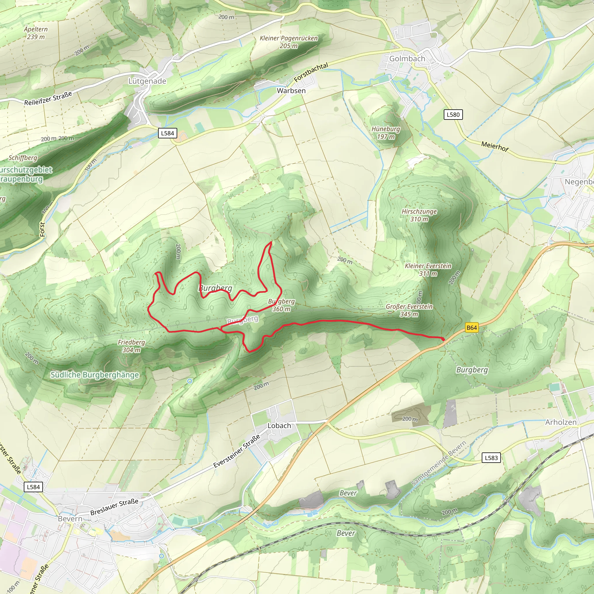
Nestled near the charming town of Holzminden in Germany, the Burgberg Loop offers a delightful hiking experience through the picturesque landscapes of Lower Saxony. This 10 km (approximately 6.2 miles) loop trail, with an elevation gain of around 400 meters (about 1,312 feet), is rated as medium difficulty, making it suitable for hikers with a moderate level of fitness.
Getting There
To reach the trailhead, travelers can opt for public transport or drive. If you're using public transport, Holzminden is well-connected by train, with regular services from major cities like Hanover and Göttingen. From the Holzminden train station, local buses or taxis can take you to the trailhead, which is conveniently located near the town. For those driving, Holzminden is accessible via the B64 highway, and there are parking facilities available near the trail's starting point.
Trail Highlights
As you embark on the Burgberg Loop, you'll be greeted by the serene beauty of the Weser Uplands. The trail meanders through lush forests, open meadows, and offers stunning vistas of the surrounding countryside. The initial section of the trail is a gentle ascent, allowing hikers to ease into the journey while enjoying the tranquil ambiance of the forest.
Nature and Wildlife
The Burgberg Loop is a haven for nature enthusiasts. The diverse ecosystem supports a variety of flora and fauna. Keep an eye out for native bird species, such as the European robin and the great spotted woodpecker, as their melodious calls accompany you along the way. In spring and summer, the trail is adorned with vibrant wildflowers, adding a splash of color to the verdant landscape.
Historical Significance
The region around Holzminden is steeped in history, and the Burgberg Loop offers glimpses into its past. As you hike, you'll encounter remnants of ancient settlements and fortifications that date back to medieval times. These historical landmarks provide a fascinating insight into the area's strategic importance in bygone eras.
Navigation and Safety
For navigation, the HiiKER app is an excellent tool to ensure you stay on track. The trail is well-marked, but having a digital map can enhance your hiking experience and provide additional information about points of interest along the route. It's advisable to wear sturdy hiking boots, as some sections of the trail can be rocky and uneven.
Scenic Views and Rest Stops
Approximately halfway through the loop, you'll reach a vantage point that offers panoramic views of the Weser River valley. This is an ideal spot to take a break, enjoy a packed lunch, and soak in the breathtaking scenery. The descent from this point is gradual, leading you back through dense woodlands and eventually returning to the trailhead.
The Burgberg Loop is a rewarding hike that combines natural beauty, historical intrigue, and a moderate physical challenge. Whether you're a seasoned hiker or a nature lover seeking a peaceful escape, this trail promises an enriching outdoor adventure.
Comments and Reviews
User comments, reviews and discussions about the Burgberg Loop, Germany.
average rating out of 5
0 rating(s)
