Download
3D Flyover
Add to list
More
7.9 km
~1 hrs 56 min
213 m
Loop
“Explore lush forests, historical landmarks, and panoramic views on Hof's moderate 8 km loop trail.”
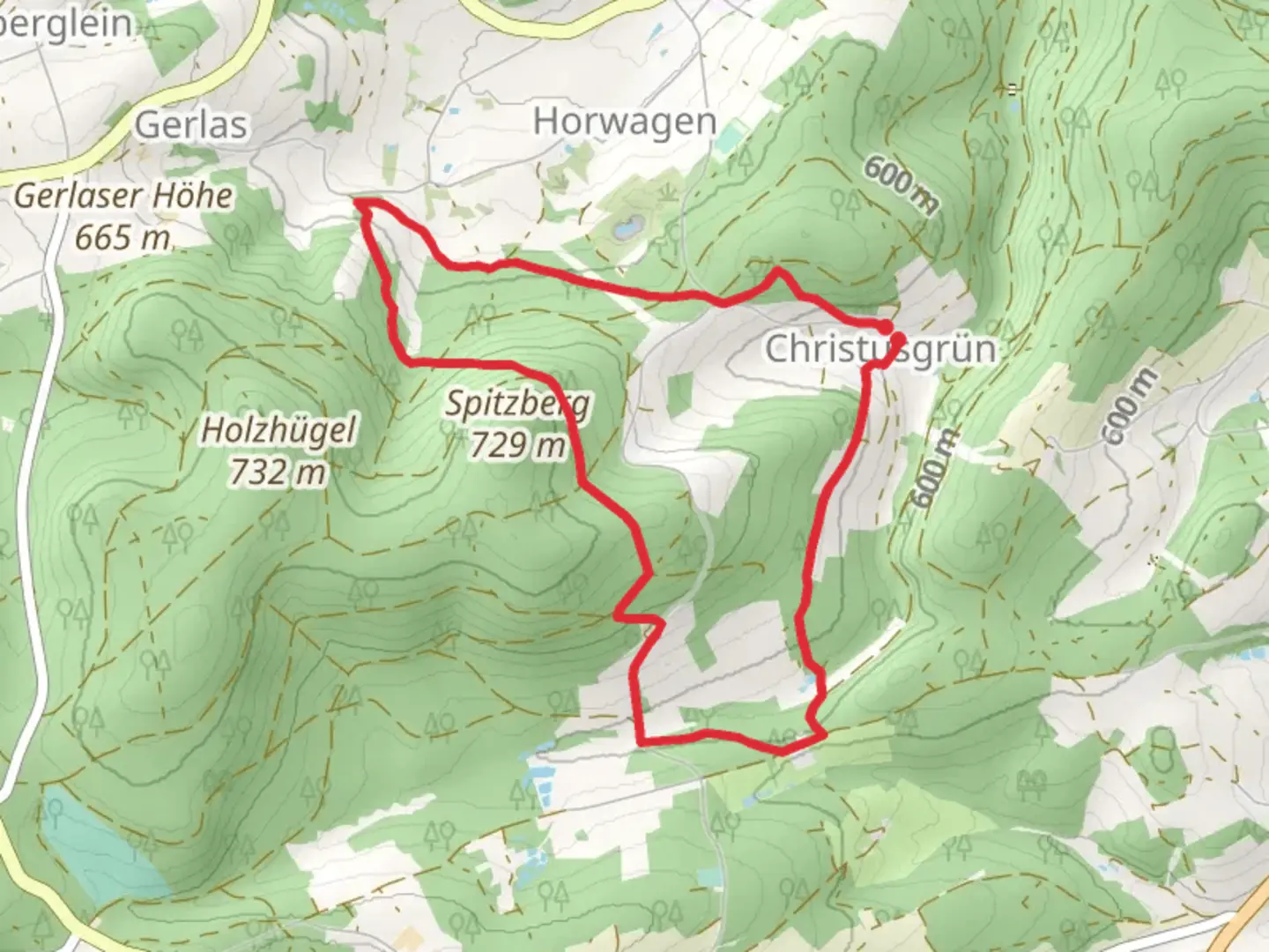
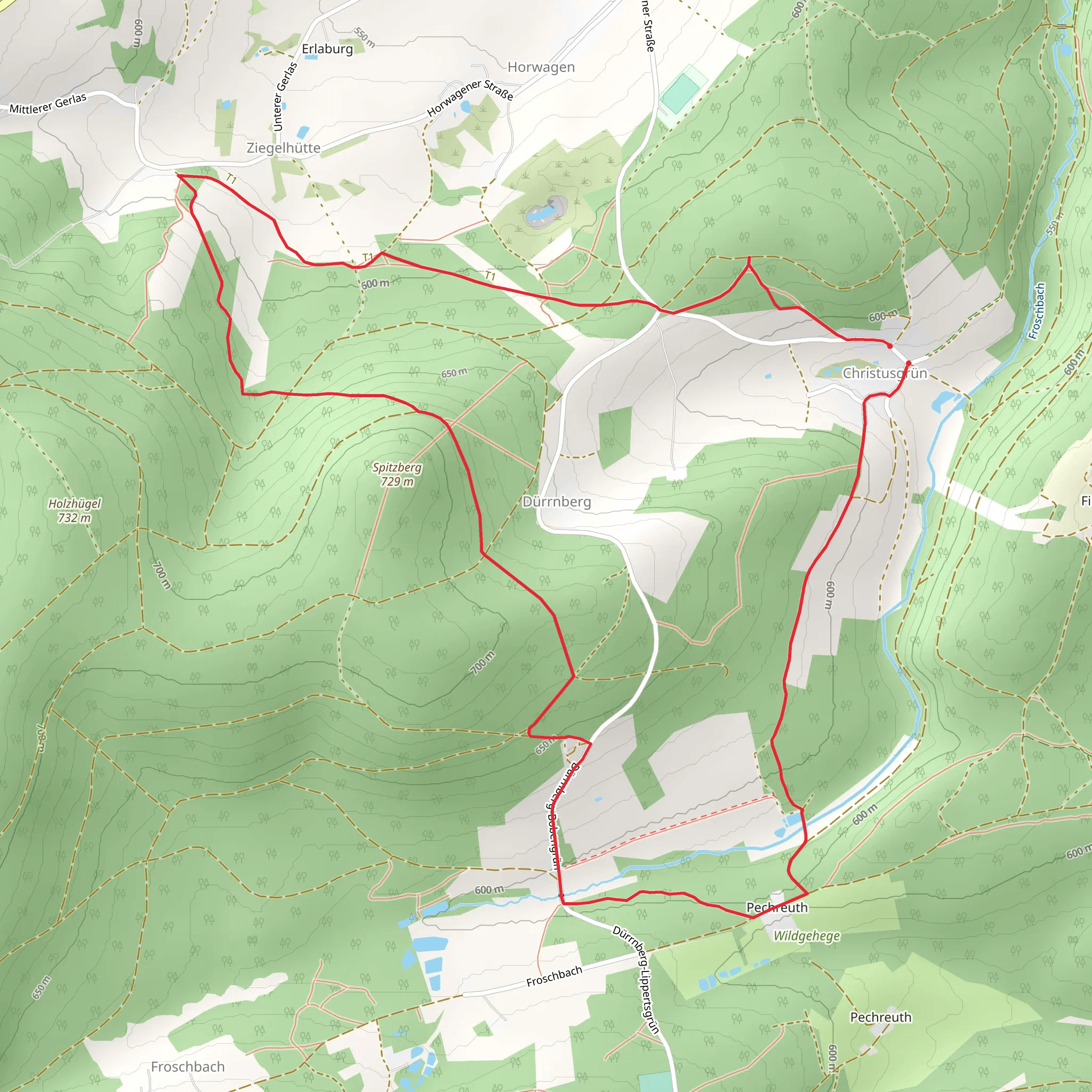
Starting near the charming town of Hof in Germany, this 8 km (approximately 5 miles) loop trail offers a delightful mix of natural beauty and moderate challenge. With an elevation gain of around 200 meters (656 feet), hikers can expect a moderately strenuous journey through lush forests and picturesque landscapes.
Getting There
To reach the trailhead, you can either drive or use public transport. If driving, set your GPS to the nearest known address: Forsthausstraße, 95030 Hof, Germany. There is ample parking available near the trailhead. For those using public transport, take a train to Hof Hauptbahnhof (Hof Central Station). From there, you can catch a local bus or taxi to Forsthausstraße, which is a short distance away.
Trail Navigation
For navigation, it is highly recommended to use the HiiKER app, which provides detailed maps and real-time updates. The trail is well-marked, but having a reliable navigation tool will enhance your hiking experience.
Trail Highlights
As you embark on the trail, you'll be greeted by dense forests that provide a serene and shaded environment. The initial part of the trail is relatively flat, making it a good warm-up for the more challenging sections ahead.
Flora and Fauna
The Forsthaus Weg is home to a variety of flora and fauna. Keep an eye out for native wildlife such as deer, foxes, and a variety of bird species. The forest floor is often carpeted with wildflowers in the spring and summer, adding a splash of color to your hike.
Historical Significance
About 3 km (1.86 miles) into the hike, you'll come across an old forester's house, which gives the trail its name. This house dates back to the 19th century and serves as a reminder of the region's rich forestry history. The area around Hof has long been known for its timber industry, and this trail offers a glimpse into that past.
Mid-Trail Elevation Gain
As you approach the halfway mark, the trail begins to ascend more steeply. This section, which covers approximately 2 km (1.24 miles), will take you up about 150 meters (492 feet) in elevation. The climb can be challenging, but the effort is rewarded with stunning views of the surrounding countryside.
Scenic Overlook
At the highest point of the trail, around 5 km (3.1 miles) in, you'll find a scenic overlook that offers panoramic views of the Franconian landscape. This is an excellent spot to take a break, enjoy a snack, and capture some photos.
Descending Back
The descent begins gradually, allowing you to enjoy the scenery without too much strain on your knees. The final 3 km (1.86 miles) of the trail wind through more open areas, offering a different perspective of the landscape. You'll pass through meadows and small clearings, which are perfect for spotting more wildlife.
Final Stretch
As you near the end of the loop, the trail flattens out again, making for a pleasant and easy finish. You'll return to the trailhead at Forsthausstraße, where you can relax and reflect on your hike.
This trail is a perfect blend of natural beauty, moderate physical challenge, and historical intrigue, making it a must-visit for any hiking enthusiast.
Comments and Reviews
User comments, reviews and discussions about the Forsthaus Weg, Germany.
4.0
average rating out of 5
1 rating(s)
