Download
3D Flyover
Add to list
More
8.4 km
~1 hrs 53 min
123 m
Loop
“The Oberurseler Rundwanderweg offers a scenic 8 km hike through nature, history, and local culture.”
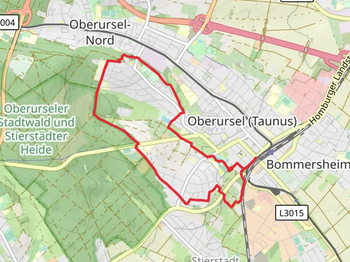
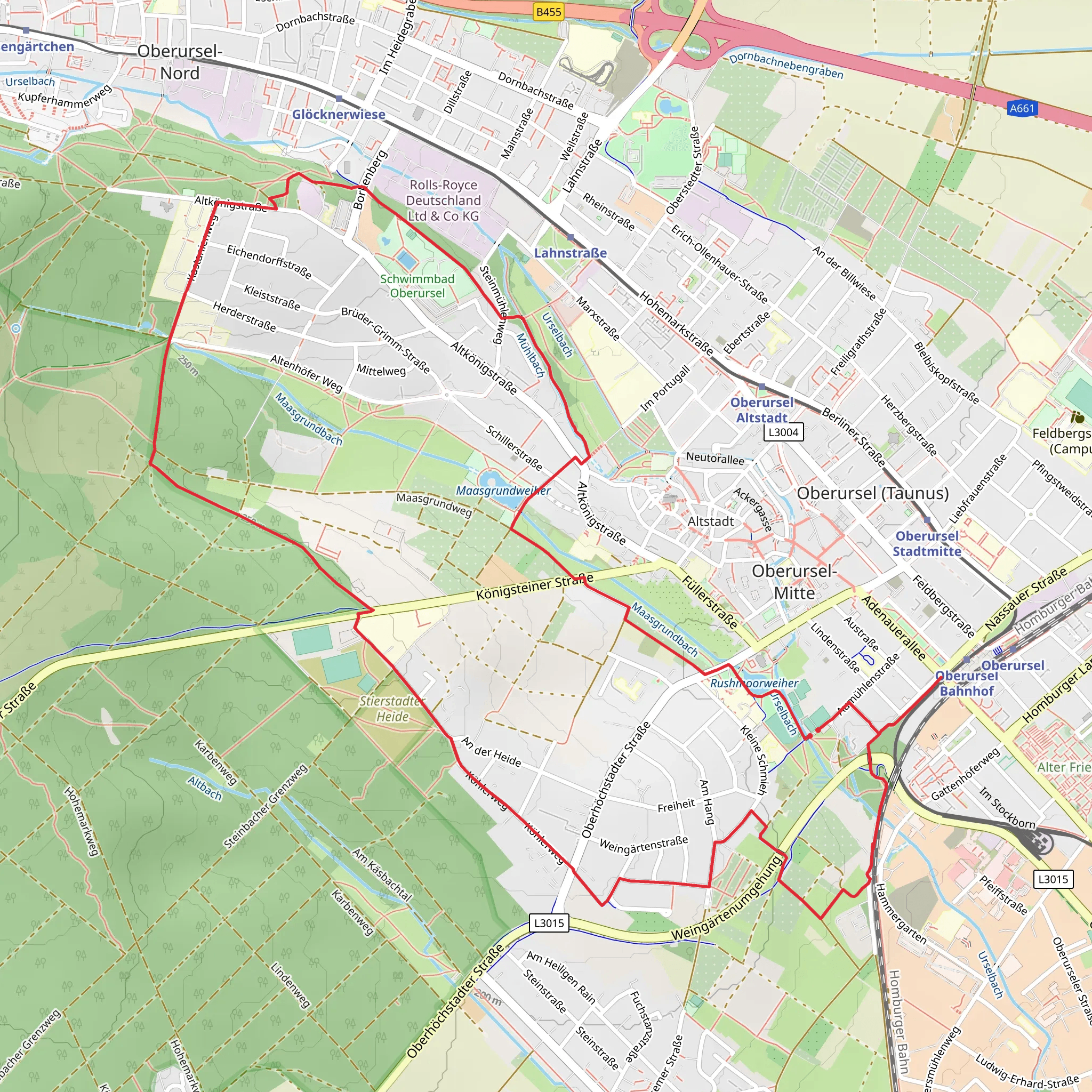
Starting near Hochtaunuskreis, Germany, the Oberurseler Rundwanderweg is an 8 km (approximately 5 miles) loop trail with an elevation gain of around 100 meters (328 feet). This medium-difficulty trail offers a delightful mix of natural beauty, historical landmarks, and a touch of local culture.
Getting There
To reach the trailhead, you can either drive or use public transport. If driving, set your GPS to Hochtaunuskreis, and look for parking options near the starting point. For those using public transport, take the S-Bahn to Oberursel (Taunus) station. From there, local buses or a short taxi ride will get you to the trailhead.
Trail Navigation
For navigation, HiiKER is highly recommended. The app provides detailed maps and real-time updates, ensuring you stay on the right path.
Trail Highlights
Nature and Wildlife
The trail meanders through lush forests and open meadows, offering a variety of flora and fauna. Keep an eye out for native bird species and small mammals that inhabit the area. The forested sections provide ample shade, making it a pleasant hike even during warmer months.
Historical Significance
One of the key highlights of this trail is its historical significance. The region around Hochtaunuskreis has a rich history dating back to Roman times. As you hike, you'll come across remnants of ancient Roman roads and possibly even some old fortifications. These historical markers offer a glimpse into the past and add an educational element to your hike.
Points of Interest
St. Ursula's Church
Approximately 2 km (1.2 miles) into the hike, you'll encounter St. Ursula's Church, a beautiful example of medieval architecture. The church is named after Saint Ursula, the patron saint of the town. It's worth taking a short detour to explore the church grounds and appreciate its historical significance.
Hohemark
Around the halfway point, you'll reach Hohemark, a popular recreational area. This is a great spot to take a break, enjoy a picnic, or simply soak in the natural beauty. The elevation here is about 300 meters (984 feet), offering some lovely views of the surrounding landscape.
Trail Conditions
The trail is well-marked and maintained, but it's always a good idea to wear sturdy hiking boots, especially after rain when the path can become slippery. The elevation gain is gradual, making it accessible for most hikers, but be prepared for a few steeper sections.
Final Stretch
As you loop back towards the starting point, the trail descends gently, offering a relaxing end to your hike. The final 2 km (1.2 miles) take you through more open meadows, providing a different perspective of the landscape compared to the forested sections at the beginning.
Practical Tips
- Bring enough water and snacks, especially if you plan to take breaks at the various points of interest.
- Check the weather forecast before heading out, as conditions can change rapidly.
- Use HiiKER for real-time navigation and updates on trail conditions.
This trail offers a perfect blend of natural beauty, historical intrigue, and moderate physical challenge, making it a rewarding experience for any hiker.
Comments and Reviews
User comments, reviews and discussions about the Oberurseler Rundwanderwg, Germany.
4.67
average rating out of 5
6 rating(s)
