Download
Preview
Add to list
More
12.4 km
~3 hrs 10 min
422 m
Loop
“Explore the Kolbenberg via Ferdinandweg trail: a 12 km loop rich in nature, history, and scenic views.”
Starting near Hochtaunuskreis, Germany, the Kolbenberg via Ferdinandweg trail offers a delightful 12 km (7.5 miles) loop with an elevation gain of approximately 400 meters (1,312 feet). This medium-difficulty hike is perfect for those looking to explore the natural beauty and historical richness of the Taunus region.
Getting There
To reach the trailhead, you can drive or use public transport. If driving, set your GPS to Hochtaunuskreis, Germany. For public transport, take a train to Bad Homburg station, then a bus to the nearest stop at Oberursel, from where you can walk to the trailhead.
Trail Overview
The trail begins with a gentle ascent through dense forests, offering a serene start to your hike. As you progress, you'll encounter a mix of deciduous and coniferous trees, providing ample shade and a cool environment, especially during the summer months.
Significant Landmarks
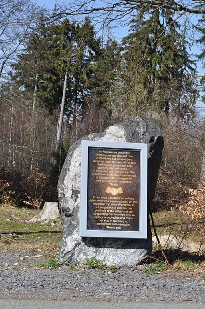
Around the 3 km (1.9 miles) mark, you'll come across the historic Ferdinandweg, named after a local figure of historical significance. This path has been used for centuries and offers a glimpse into the region's past. Keep an eye out for old stone markers and remnants of ancient pathways.
Wildlife and Nature
The Taunus region is home to a variety of wildlife. Deer, foxes, and a plethora of bird species are commonly spotted along the trail. The diverse flora includes wildflowers, ferns, and moss-covered rocks, making it a botanist's paradise.
Midpoint and Elevation
At approximately 6 km (3.7 miles), you'll reach the highest point of the trail, Kolbenberg, standing at around 400 meters (1,312 feet) above sea level. Here, you can take a break and enjoy panoramic views of the surrounding landscape. This is an excellent spot for photography, so make sure your camera or smartphone is ready.
Historical Significance
The Taunus region has a rich history dating back to Roman times. The trail itself passes near several ancient Roman sites, including remnants of old fortifications and roads. These historical elements add a unique layer to your hiking experience, making it not just a physical journey but also a trip back in time.
Navigation
For navigation, it's highly recommended to use the HiiKER app, which provides detailed maps and real-time updates. This will help you stay on track and ensure you don't miss any of the trail's highlights.
Final Stretch
The descent begins after Kolbenberg, leading you back through lush forests and eventually looping back to your starting point. The final 3 km (1.9 miles) are relatively easy, allowing you to cool down and reflect on the hike.
Practical Tips
- Wear sturdy hiking boots as the trail can be uneven in places.
- Bring enough water and snacks, especially if you plan to take breaks and enjoy the scenery.
- Check the weather forecast before heading out, as conditions can change rapidly in the Taunus region.
This trail offers a perfect blend of natural beauty, wildlife, and historical intrigue, making it a must-do for any hiking enthusiast visiting the area.

What to expect?
Activity types
Comments and Reviews
User comments, reviews and discussions about the Kolbenberg via Ferdinandweg, Germany.
4.43
average rating out of 5
7 rating(s)