Download
3D Flyover
Add to list
More
10.0 km
~2 hrs 32 min
320 m
Loop
“Discover Heidetränk-Oppidum on a 10 km scenic loop blending history, nature, and moderate hiking challenges.”
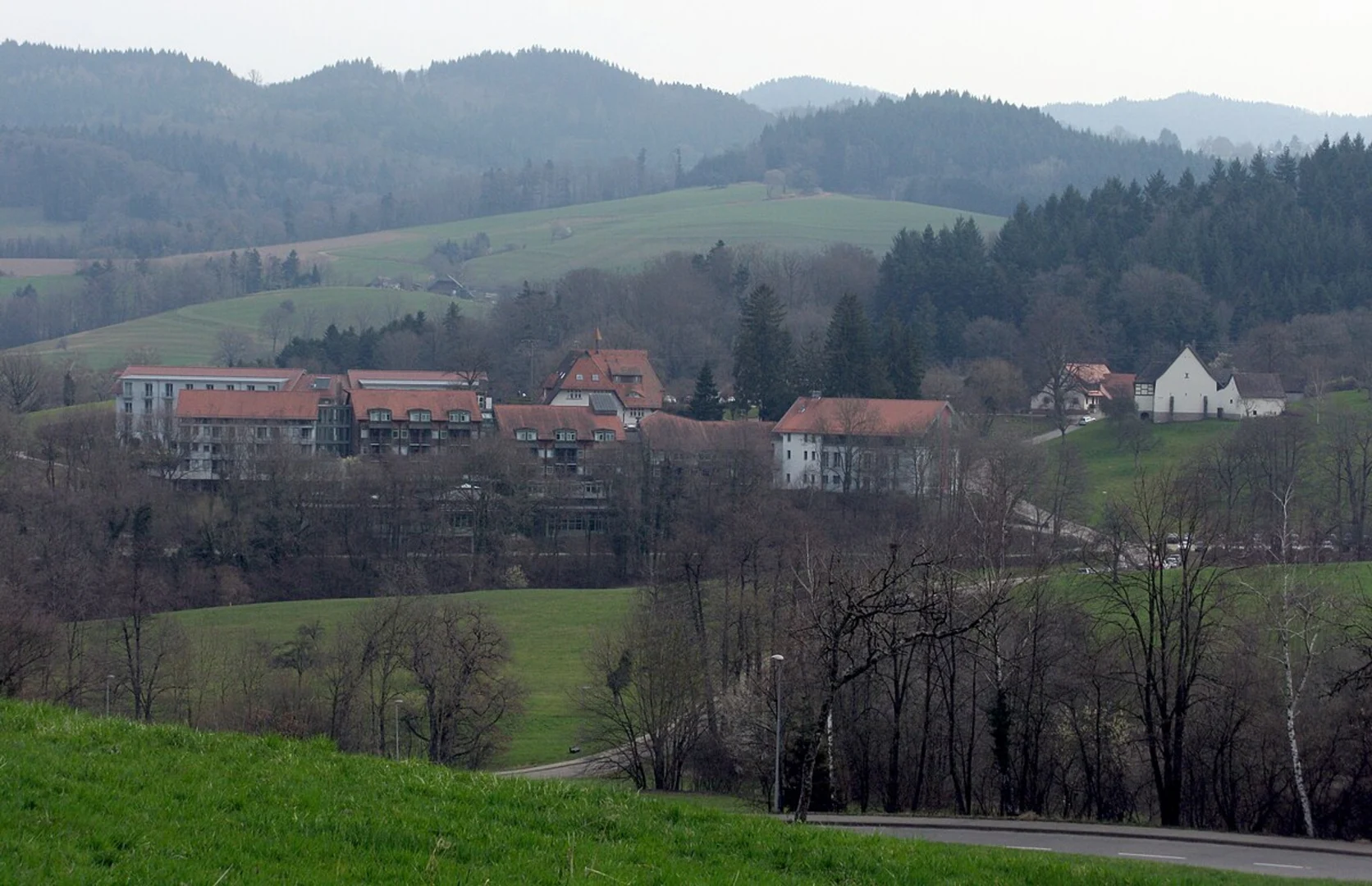
Starting near Hochtaunuskreis, Germany, the Heidetränk-Oppidum and Taunusklub Route is a captivating 10 km (6.2 miles) loop trail with an elevation gain of approximately 300 meters (984 feet). This trail is rated as medium difficulty, making it suitable for moderately experienced hikers.
Getting There
To reach the trailhead, you can drive or use public transport. If driving, set your GPS to Hochtaunuskreis, and look for parking near the starting point. For public transport, take a train to Bad Homburg station, then a bus towards Oberursel, and get off at the nearest stop to the trailhead.
Trail Highlights
The trail begins with a gentle ascent through dense forests, offering a serene start to your hike. As you progress, the path becomes steeper, leading you to the Heidetränk Oppidum, an ancient Celtic hillfort. This historical site dates back to the La Tène period (around 450-1 BC) and provides a fascinating glimpse into early European history. The remnants of the fortifications and the strategic location offer a unique perspective on the lives of the Celts.
Flora and Fauna
The trail is rich in biodiversity. You will encounter a variety of trees, including beech, oak, and pine. The undergrowth is home to numerous plant species, such as wildflowers and ferns. Keep an eye out for local wildlife, including deer, foxes, and a variety of bird species. The forested areas are particularly vibrant in spring and autumn, offering a colorful display of nature.
Navigation
For navigation, it is recommended to use the HiiKER app, which provides detailed maps and real-time updates. The trail is well-marked, but having a reliable navigation tool ensures you stay on track and can explore any interesting detours.
Midway Point
At around the 5 km (3.1 miles) mark, you will reach the highest point of the trail, offering panoramic views of the Taunus mountain range. This is an excellent spot for a break, where you can enjoy the scenery and perhaps have a snack. The elevation gain to this point is about 150 meters (492 feet), making it a rewarding climb.
Historical Significance
The Taunus region has a rich history, with evidence of human settlement dating back to the Bronze Age. The Heidetränk Oppidum is one of the most significant archaeological sites in the area, providing insights into the Celtic tribes that once inhabited the region. The trail also passes by remnants of Roman influence, including old roads and boundary markers, reflecting the area's strategic importance throughout history.
Final Stretch
The descent from the high point is gradual, taking you through more forested areas and open meadows. The trail loops back towards the starting point, offering a different perspective on the landscape. The final 2 km (1.2 miles) are relatively flat, providing a gentle end to your hike.
Practical Tips
- Wear sturdy hiking boots, as some sections can be rocky and uneven.
- Bring enough water and snacks, especially if you plan to take breaks and enjoy the scenery.
- Check the weather forecast before heading out, as conditions can change rapidly in the mountains.
- Be mindful of local wildlife and respect their habitat.
This trail offers a perfect blend of natural beauty, historical intrigue, and moderate physical challenge, making it a rewarding experience for any hiker.

What to expect?
Activity types
Comments and Reviews
User comments, reviews and discussions about the Heidetränk-Oppidum and Taunusklub Route, Germany.
4.25
average rating out of 5
4 rating(s)