Aussichtsturm Pferdskopf via Finsternthalerweg and Kampweg
Download
3D Flyover
Add to list
More
10.5 km
~2 hrs 40 min
344 m
Loop
“Explore Taunus' lush forests, historic landmarks, and panoramic views on this moderately challenging 11 km loop.”
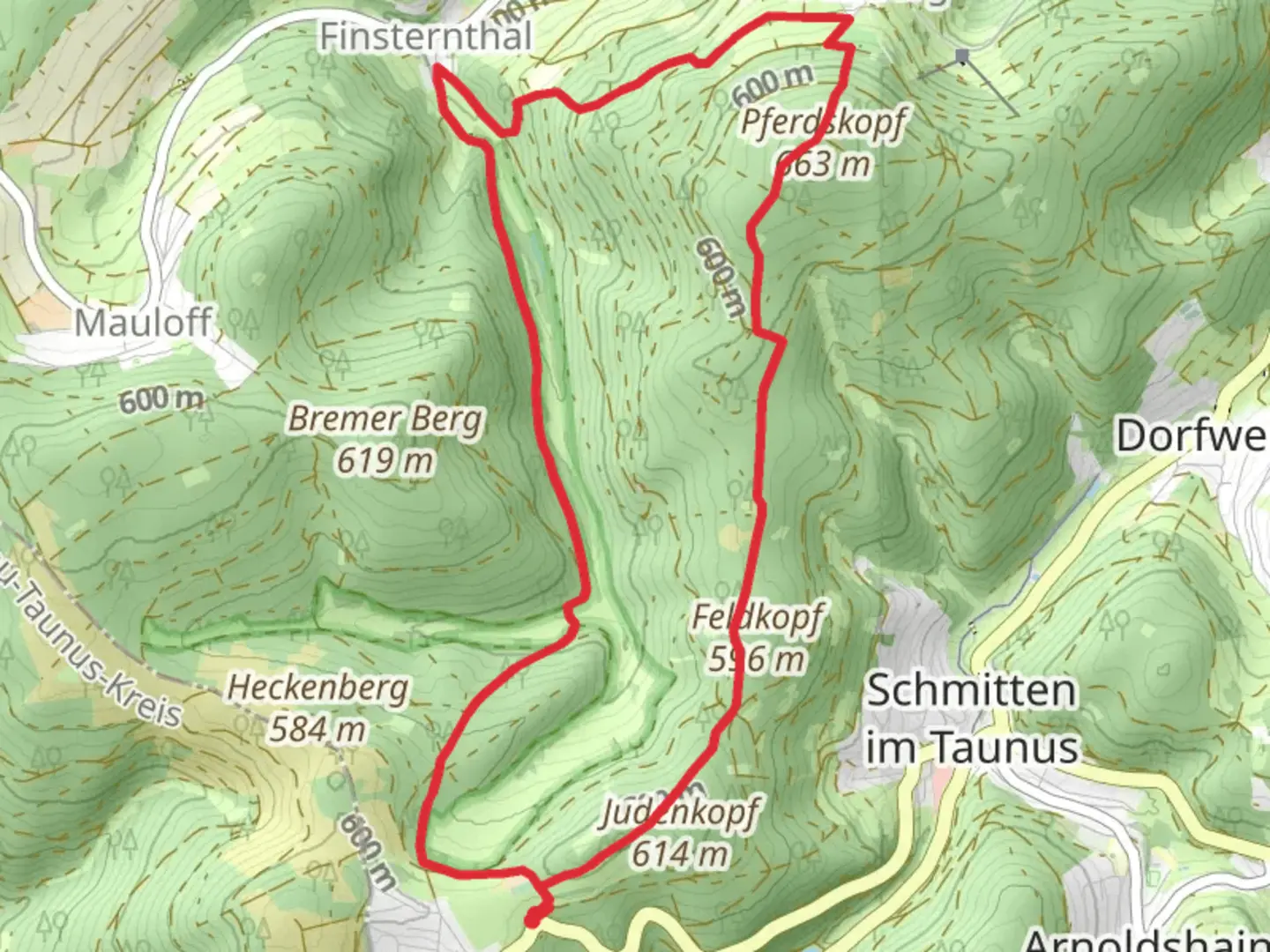
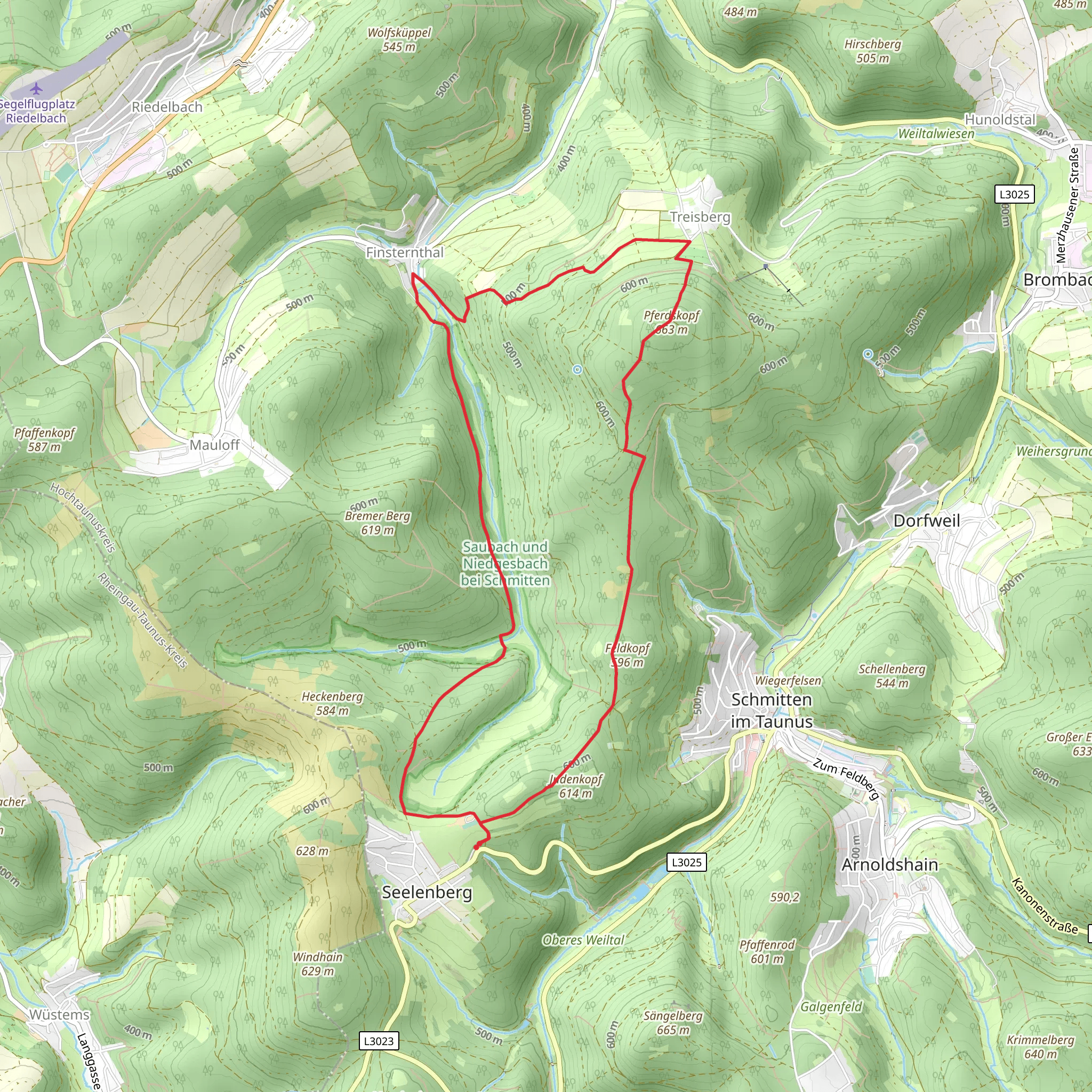
Starting near Hochtaunuskreis, Germany, this 11 km (approximately 6.8 miles) loop trail offers a moderate challenge with an elevation gain of around 300 meters (984 feet). The trailhead is easily accessible by car, with parking available nearby. For those using public transport, you can take a train to the nearest station in Oberursel, followed by a local bus to the starting point.
Trail Overview
The trail begins with a gentle ascent through the lush, dense forests of the Taunus region. Early on, you'll follow the Finsternthalerweg, a well-marked path that meanders through a mix of deciduous and coniferous trees. This section is relatively easy, allowing you to warm up and enjoy the serene surroundings. Keep an eye out for local wildlife such as deer, foxes, and a variety of bird species.
Significant Landmarks and Points of Interest
At approximately 3 km (1.86 miles) into the hike, you'll reach a small clearing with a picturesque view of the surrounding hills. This is a great spot for a short break and some photos. Continuing along the trail, you'll soon come across the historic Finsternthal, an old valley that has been a part of local folklore for centuries. The area is known for its ancient trees and tranquil atmosphere.
As you progress, the trail becomes steeper, leading you up the Kampweg. This section is more challenging, with a steady incline that will test your endurance. However, the effort is well worth it as you approach the Aussichtsturm Pferdskopf, a lookout tower offering panoramic views of the Taunus Mountains and beyond. The tower stands at an elevation of around 660 meters (2,165 feet) above sea level, providing a perfect vantage point for taking in the stunning landscape.
Historical Significance
The Taunus region is steeped in history, with evidence of human settlement dating back to the Roman era. The area around Hochtaunuskreis was once part of the Roman Limes, a frontier boundary that marked the edge of the Roman Empire. As you hike, you may come across remnants of ancient fortifications and pathways that have stood the test of time.
Navigation and Safety
To ensure you stay on track, it's recommended to use HiiKER for navigation. The app provides detailed maps and real-time updates, helping you navigate the various forks and intersections along the trail. The trail is generally well-marked, but having a reliable navigation tool can enhance your hiking experience and provide peace of mind.
Flora and Fauna
The trail is rich in biodiversity, with a variety of plant species ranging from wildflowers to towering oaks and pines. In spring and summer, the forest floor is carpeted with vibrant blooms, while autumn brings a spectacular display of changing leaves. Wildlife is abundant, so keep your eyes peeled for squirrels, woodpeckers, and even the occasional wild boar.
Final Stretch
The descent from the lookout tower is gradual, taking you through more scenic forest paths. As you loop back towards the starting point, you'll pass through several small meadows and streams, offering a peaceful end to your hike. The final 2 km (1.24 miles) are relatively flat, allowing you to cool down and reflect on the journey.
This trail offers a perfect blend of natural beauty, historical intrigue, and moderate physical challenge, making it an ideal choice for hikers looking to explore the Taunus region.
What to expect?
Activity types
Comments and Reviews
User comments, reviews and discussions about the Aussichtsturm Pferdskopf via Finsternthalerweg and Kampweg, Germany.
4.4
average rating out of 5
5 rating(s)
