Download
3D Flyover
Add to list
More
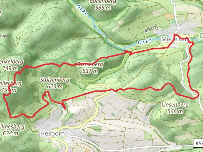
64.5 km
~3 days
1505 m
Multi-Day
“The Medebacher Bergweg enchants with historical gems amid Hochsauerlandkreis' stunning, diverse terrain.”
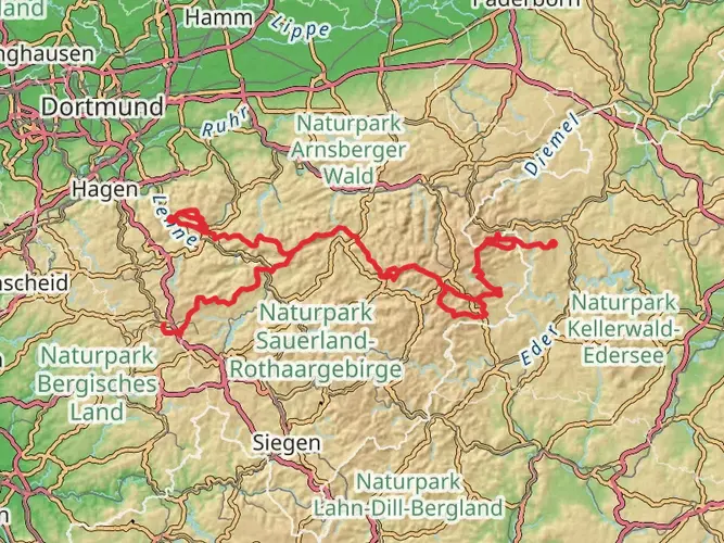
The Medebacher Bergweg is a captivating loop trail nestled in the picturesque Hochsauerlandkreis region of Germany, offering hikers a blend of natural beauty and historical intrigue. Spanning approximately 64 kilometers (about 40 miles) with an elevation gain of around 1500 meters (nearly 4921 feet), this trail is considered to have a medium difficulty rating, making it accessible to hikers with a reasonable level of fitness.
Getting to the Trailhead
To embark on your journey along the Medebacher Bergweg, you can arrive at the trailhead by car or public transport. If driving, the starting point is conveniently located near the town of Medebach, which is well-connected by local roads. For those preferring public transport, buses frequently run to Medebach from surrounding areas, and from there, the trailhead is just a short walk away.
Navigating the Trail
As you set out on the Medebacher Bergweg, HiiKER can be an invaluable tool for navigation, ensuring you stay on the right path and don't miss any of the trail's highlights. The loop can be tackled in either direction, but many choose to go clockwise, gradually ascending into the lush landscapes that characterize the region.
Natural Splendor and Wildlife
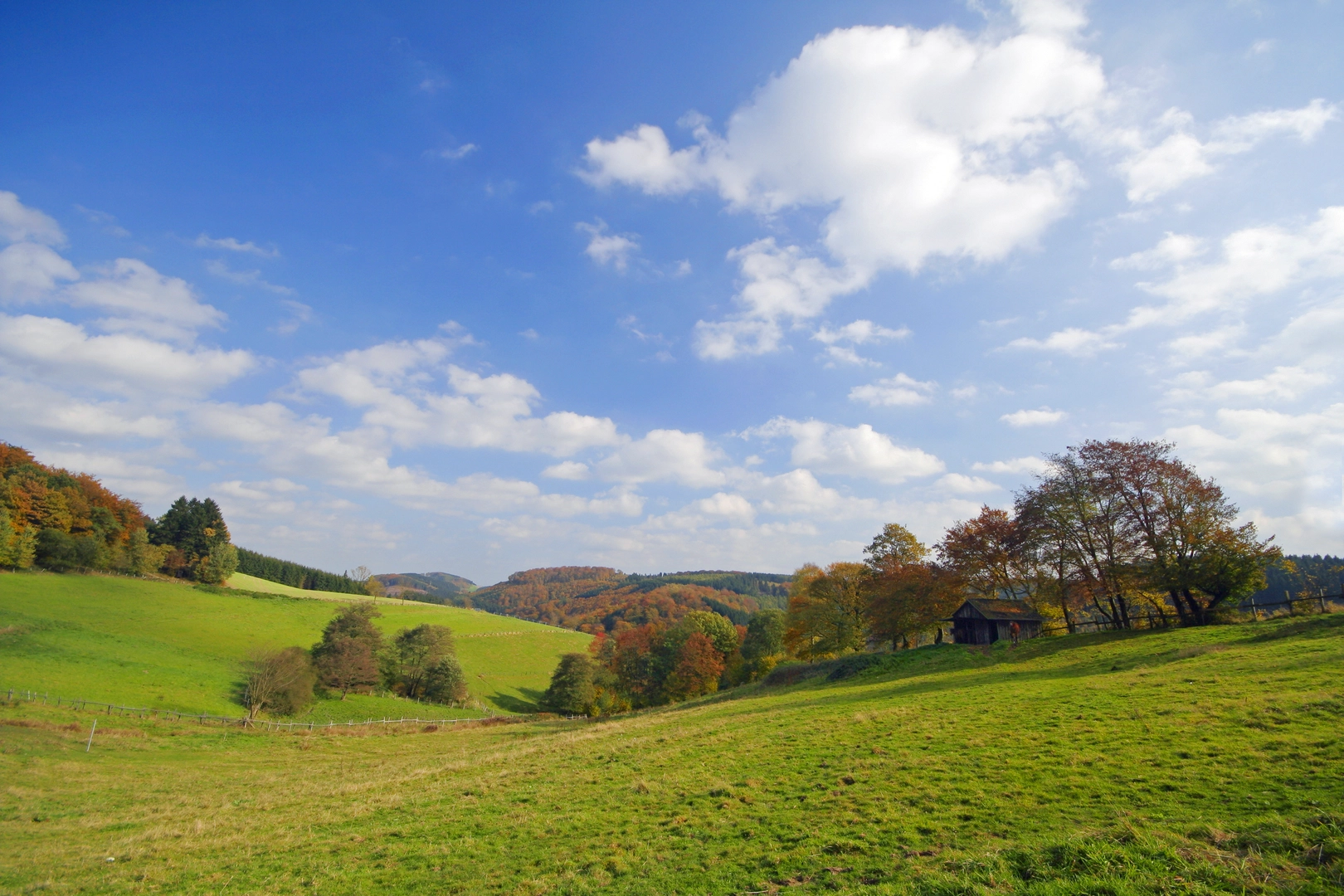
The trail meanders through a variety of terrains, from dense forests to open meadows, providing a habitat for an array of wildlife. Birdwatchers will delight in the opportunity to spot species such as the black stork and the rare red kite. The changing seasons bring a kaleidoscope of colors, with wildflowers blooming in spring and a rich tapestry of autumnal hues later in the year.
Cultural and Historical Landmarks
As you traverse the Medebacher Bergweg, you'll encounter vestiges of the area's rich history. The trail passes through several quaint villages where traditional half-timbered houses stand as a testament to the region's architectural heritage. Historical mills and remnants of old mining operations can also be found along the route, offering a glimpse into the area's past economic activities.
Challenging Sections and Scenic Vistas
The trail includes some challenging sections, with steep inclines that reward hikers with panoramic views of the Sauerland's rolling hills and valleys. One of the most notable ascents leads to the summit of the Kleiner Berg, where you can take in breathtaking vistas that stretch for miles.
Preparation and Safety
To fully enjoy the Medebacher Bergweg, proper preparation is key. Ensure you have sturdy hiking boots, weather-appropriate clothing, and sufficient water and food. It's also wise to check the weather forecast before setting out, as conditions can change rapidly in the mountains.
Conclusion
In conclusion, the Medebacher Bergweg is a trail that offers a rich tapestry of natural beauty, wildlife, and historical significance. Whether you're a seasoned hiker or someone looking to immerse yourself in the splendor of the Hochsauerlandkreis region, this trail promises an unforgettable experience. With careful planning and a spirit of adventure, you'll find that the Medebacher Bergweg is a journey that captivates the heart of every hiker.

Frequently asked questions
How long does the Medebacher Bergweg take to hike?
The Medebacher Bergweg is 64.48 km long with 1,505 m of climbing, so it is usually treated as a multi-day hike rather than a single long day. Most hikers break a route of this length into about 3 to 5 days, depending on pace, overnight plans, and how much time is spent in the villages and viewpoints around Medebach.
How difficult is the Medebacher Bergweg and is it suitable for regular hikers?
The Medebacher Bergweg is rated medium difficulty. Over 64.48 km it gains 1,505 m, so the challenge comes more from the cumulative distance and repeated climbs than from technical terrain. It suits hikers with decent day-hiking fitness who are comfortable covering rolling ground over several days.
Can the Medebacher Bergweg be hiked in stages?
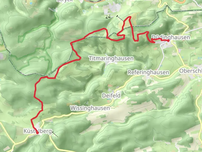
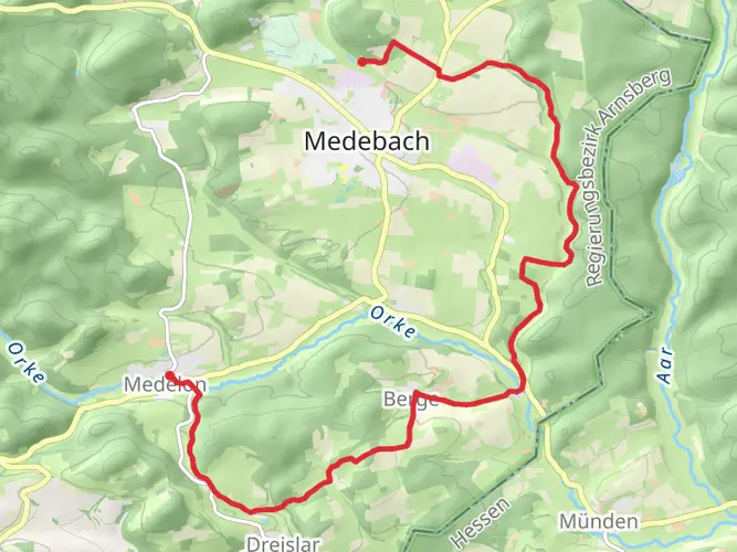
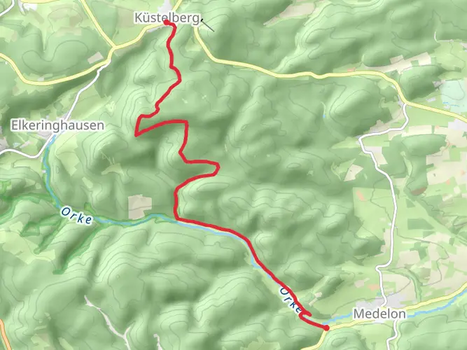
Yes. The Medebacher Bergweg is a 64.48 km loop, which makes it well suited to hiking in stages over several days. The route links Medebach and its surrounding villages, so many hikers split it into shorter sections between places such as Medebach, Dreislar, Berge, and other local districts rather than walking the full circuit at once.
Where does the Medebacher Bergweg start and how do you get there?
The Medebacher Bergweg is based around Medebach in Hochsauerlandkreis, and Medebach is the practical starting point for the loop. By public transit, Medebach can be reached by bus from rail stations at Korbach, Olsberg, or Winterberg. By car, Medebach is approached via local roads from places including Korbach, Frankenberg, Winterberg, Hallenberg, and Willingen.
What is the landscape like on the Medebacher Bergweg and why is it called the Toskana des Sauerlandes?
The Medebacher Bergweg runs through the Medebacher Bucht, a gently rolling, partly open landscape on the edge of the Rothaargebirge. This area is widely called the Toskana des Sauerlandes because of its softer hills, open cultural landscape, and relatively sunny climate compared with other parts of the Sauerland. That gives the route a mix of broad views, meadows, and forest sections rather than continuous dense woodland.
What places and landmarks does the Medebacher Bergweg pass?
The Medebacher Bergweg connects the districts around Medebach rather than focusing on a single summit. Verified places directly associated with the route include Medebach itself, Dreislar, and Berge, and there is also a named rest stop at the Wellnessrastplatz Im Schwinkel on Schwinkelweg in Medebach-Dreislar. The trail is known for linking Medebach’s villages across the wider Medebacher Bucht landscape.
Comments and Reviews
User comments, reviews and discussions about the Medebacher Bergweg, Germany.
4.85
average rating out of 5
13 rating(s)