Download
3D Flyover
Add to list
More
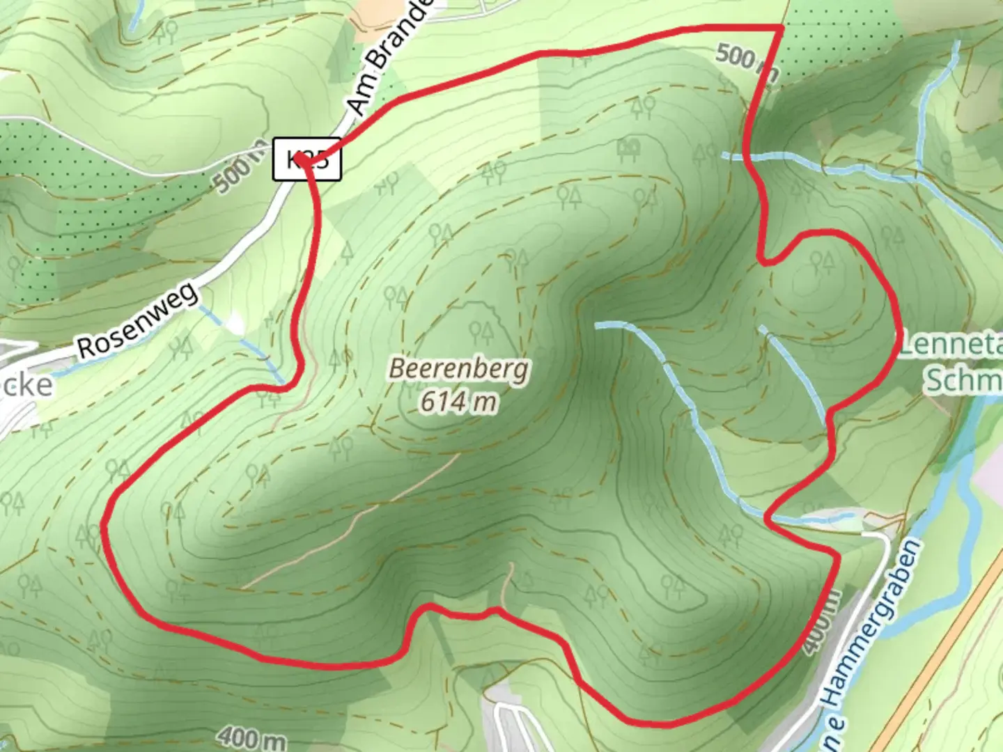
6.6 km
~1 hrs 43 min
247 m
Loop
“The Fleckenberg Rundweg and Golddorf Route offers a scenic 7 km hike blending nature, history, and charming villages.”
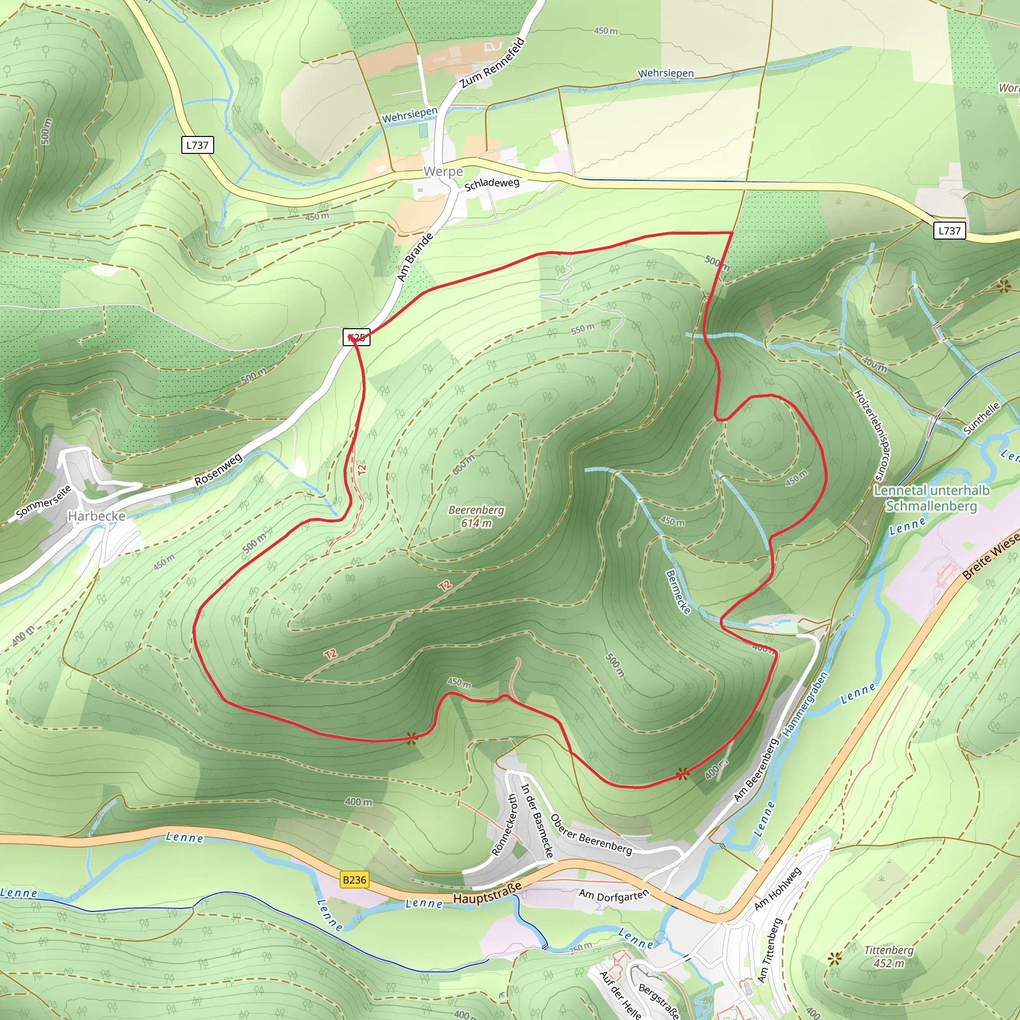
Starting near Hochsauerlandkreis, Germany, the Fleckenberg Rundweg and Golddorf Route is a picturesque loop trail that spans approximately 7 kilometers (4.35 miles) with an elevation gain of around 200 meters (656 feet). This medium-difficulty trail offers a delightful mix of natural beauty, historical landmarks, and charming villages, making it a rewarding experience for hikers of all levels.
Getting There
To reach the trailhead, you can either drive or use public transport. If driving, set your GPS to Fleckenberg, a quaint village in the Hochsauerlandkreis region. There are parking facilities available near the start of the trail. For those using public transport, take a train to the nearest major station, which is in Schmallenberg, and then a local bus to Fleckenberg. The bus stop is conveniently located near the trailhead.
Trail Highlights
As you embark on the Fleckenberg Rundweg and Golddorf Route, you'll immediately be immersed in the lush greenery of the Hochsauerlandkreis region. The trail meanders through dense forests, open meadows, and along serene streams, offering a diverse range of landscapes.
Historical Significance
One of the key highlights of this trail is its historical significance. Fleckenberg itself is a "Golddorf," a title given to villages that have won the prestigious "Unser Dorf hat Zukunft" (Our Village has a Future) competition. This accolade is awarded to villages that excel in community development, sustainability, and cultural heritage. As you walk through Fleckenberg, take note of the well-preserved half-timbered houses and the village's commitment to maintaining its historical charm.
Nature and Wildlife
The trail is a haven for nature enthusiasts. Keep an eye out for a variety of bird species, including woodpeckers and songbirds, as well as small mammals like squirrels and foxes. The flora is equally impressive, with seasonal wildflowers adding bursts of color to the landscape. In the spring and summer months, the meadows are particularly vibrant, making it an excellent time for photography.
Navigation and Waypoints
The trail is well-marked, but it's always a good idea to have a reliable navigation tool. HiiKER is an excellent app for this purpose, providing detailed maps and real-time tracking to ensure you stay on course. Key waypoints to look out for include the scenic viewpoint at around the 3-kilometer (1.86-mile) mark, which offers panoramic views of the surrounding valleys and hills.
Elevation and Terrain
The elevation gain of 200 meters (656 feet) is spread out over the course of the trail, making it manageable for most hikers. The terrain varies from flat sections through meadows to more challenging inclines in the forested areas. Good hiking boots are recommended, especially after rain when the trail can become muddy and slippery.
Points of Interest
Around the 5-kilometer (3.1-mile) mark, you'll come across a charming chapel, a perfect spot for a short rest and some reflection. The chapel is a testament to the region's rich cultural and religious history. Another notable landmark is the old mill near the end of the trail, which has been beautifully restored and offers a glimpse into the area's industrial past.
Final Stretch
As you near the end of the loop, the trail gently descends back into Fleckenberg. This final stretch is a great opportunity to take in the village's picturesque setting one last time. The local cafes and restaurants offer a perfect spot to relax and enjoy some traditional German cuisine after your hike.
Whether you're a seasoned hiker or a casual walker, the Fleckenberg Rundweg and Golddorf Route offers a delightful blend of natural beauty, historical intrigue, and cultural richness.
Comments and Reviews
User comments, reviews and discussions about the Fleckenberg Rundweg and Golddorf Route, Germany.
4.5
average rating out of 5
2 rating(s)
