Download
3D Flyover
Add to list
More
10.5 km
~2 hrs 29 min
238 m
Loop
“Explore diverse landscapes and historical landmarks on the moderately challenging Eilhelm Muenker Weg and Lennetalweg Loop.”
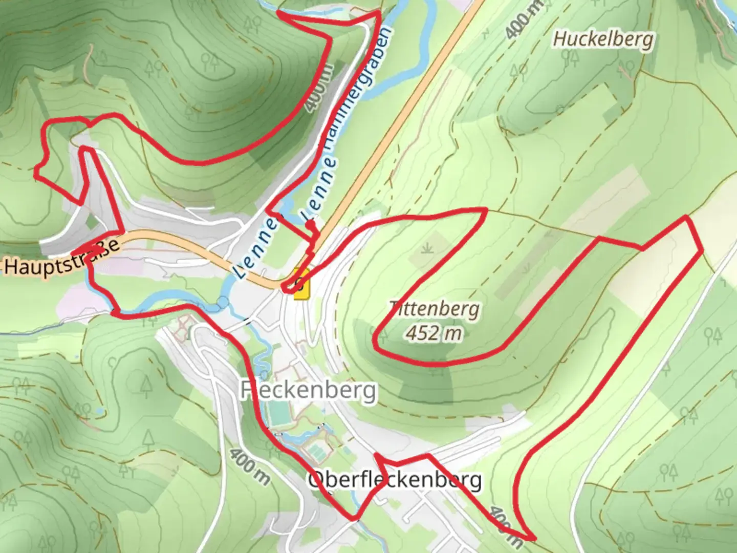
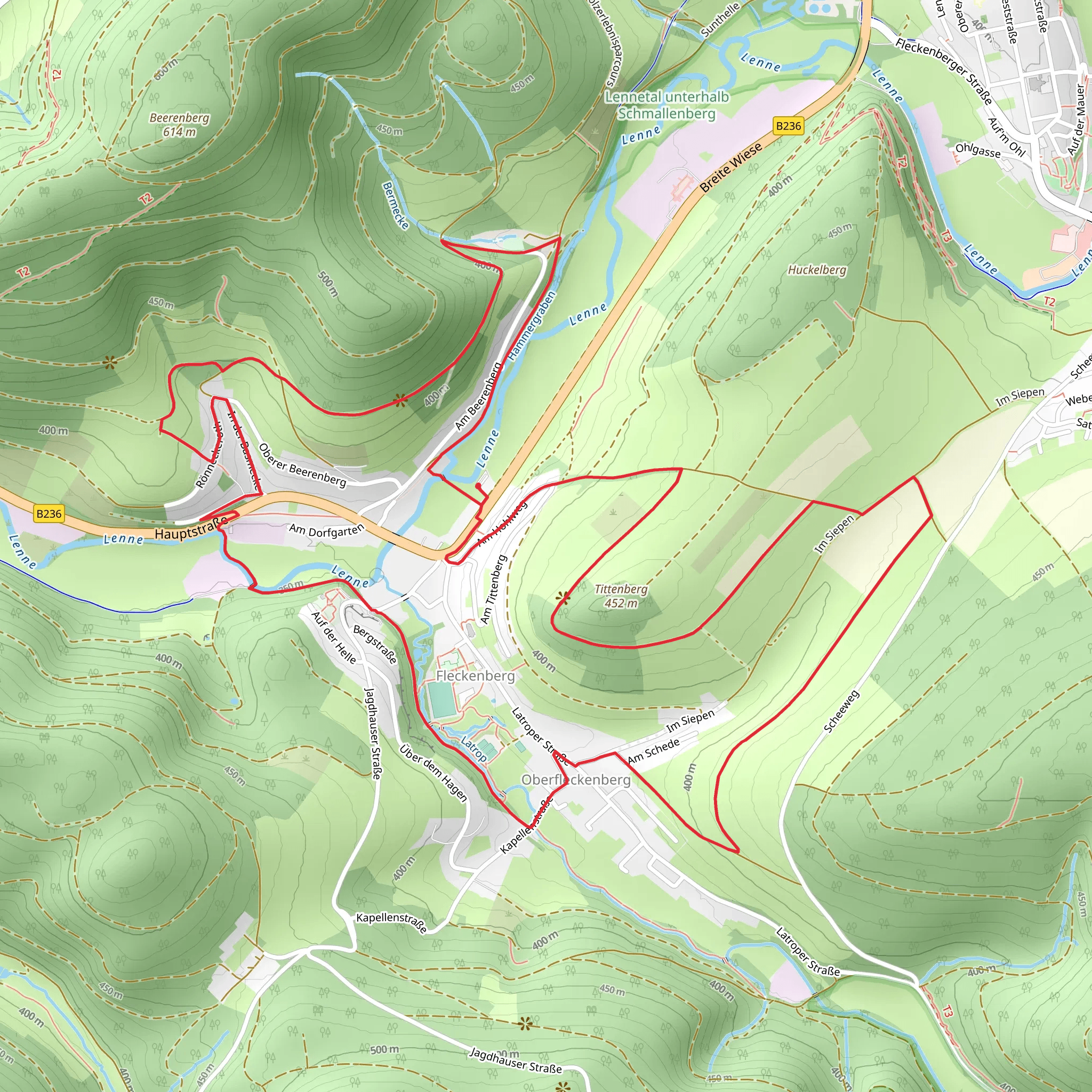
Starting near the picturesque region of Hochsauerlandkreis, Germany, the Eilhelm Muenker Weg and Lennetalweg Loop offers a delightful 11 km (approximately 6.8 miles) journey through diverse landscapes with an elevation gain of around 200 meters (656 feet). This loop trail is rated as medium difficulty, making it suitable for moderately experienced hikers.
Getting There
To reach the trailhead, you can either drive or use public transport. If driving, set your GPS to Hochsauerlandkreis, Germany, and look for parking options near the trailhead. For those using public transport, the nearest significant landmark is the town of Schmallenberg. From Schmallenberg, local buses can take you closer to the trailhead, or you can opt for a short taxi ride.
Trail Overview
The trail begins with a gentle ascent, allowing you to ease into the hike. As you progress, you'll encounter a mix of forested areas and open meadows, providing a variety of scenic views. The initial 3 km (1.9 miles) will take you through dense woodlands, where you might spot local wildlife such as deer and various bird species.
Historical Significance
Around the 4 km (2.5 miles) mark, you'll come across remnants of historical significance. This region has a rich history dating back to medieval times, and you may notice old stone structures and markers that were once part of ancient trade routes. Take a moment to appreciate the historical context and imagine the lives of those who once traversed these paths.
Midway Point and Elevation
At approximately 5.5 km (3.4 miles), you'll reach the highest point of the trail, offering panoramic views of the surrounding valleys and hills. This is an excellent spot for a break and some photography. The elevation gain here is around 200 meters (656 feet), so be prepared for a bit of a climb, but the views are well worth the effort.
Navigational Tips
For navigation, it's highly recommended to use the HiiKER app, which provides detailed maps and real-time updates. This will help you stay on track and ensure you don't miss any key landmarks or viewpoints.
Flora and Fauna
As you descend, the trail will lead you through lush meadows filled with wildflowers, especially vibrant in the spring and summer months. Keep an eye out for local flora such as the European beech and oak trees. The diversity of plant life here is remarkable and adds to the trail's charm.
Final Stretch
The last 3 km (1.9 miles) of the loop will take you alongside the serene Lennetal River. This section is relatively flat and offers a peaceful end to your hike. The gentle sounds of the flowing river and the shade from overhanging trees create a tranquil atmosphere, perfect for reflecting on your journey.
Practical Information
Ensure you carry enough water and snacks, as there are limited facilities along the trail. Wear sturdy hiking boots and consider bringing trekking poles for the steeper sections. Weather can be unpredictable, so pack a light rain jacket just in case.
This loop trail is a wonderful way to experience the natural beauty and historical richness of the Hochsauerlandkreis region. Whether you're a seasoned hiker or looking for a moderate challenge, this trail offers something for everyone.
What to expect?
Activity types
Comments and Reviews
User comments, reviews and discussions about the Eilhelm Muenker Weg and Lennetalweg Loop, Germany.
5.0
average rating out of 5
1 rating(s)
