Download
3D Flyover
Add to list
More
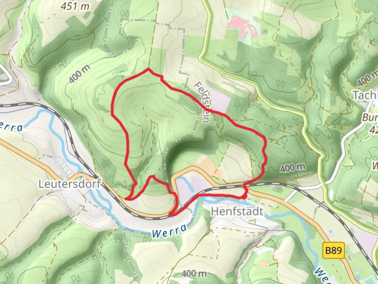
7.3 km
~1 hrs 50 min
228 m
Loop
“Explore Hildburghausen's 7 km loop trail, blending history, nature, and moderate challenge for seasoned hikers.”
Starting near the charming town of Hildburghausen in Germany, this 7 km (4.35 miles) loop trail offers a delightful mix of historical landmarks, natural beauty, and moderate physical challenge. With an elevation gain of approximately 200 meters (656 feet), the trail is rated as medium difficulty, making it suitable for hikers with some experience.
Getting There
To reach the trailhead, you can drive or use public transport. If driving, set your GPS to Hildburghausen, and look for parking near the town center. For those using public transport, take a train or bus to Hildburghausen Bahnhof. From the station, it's a short walk to the trailhead.
Trail Highlights
Ruine Osterburg
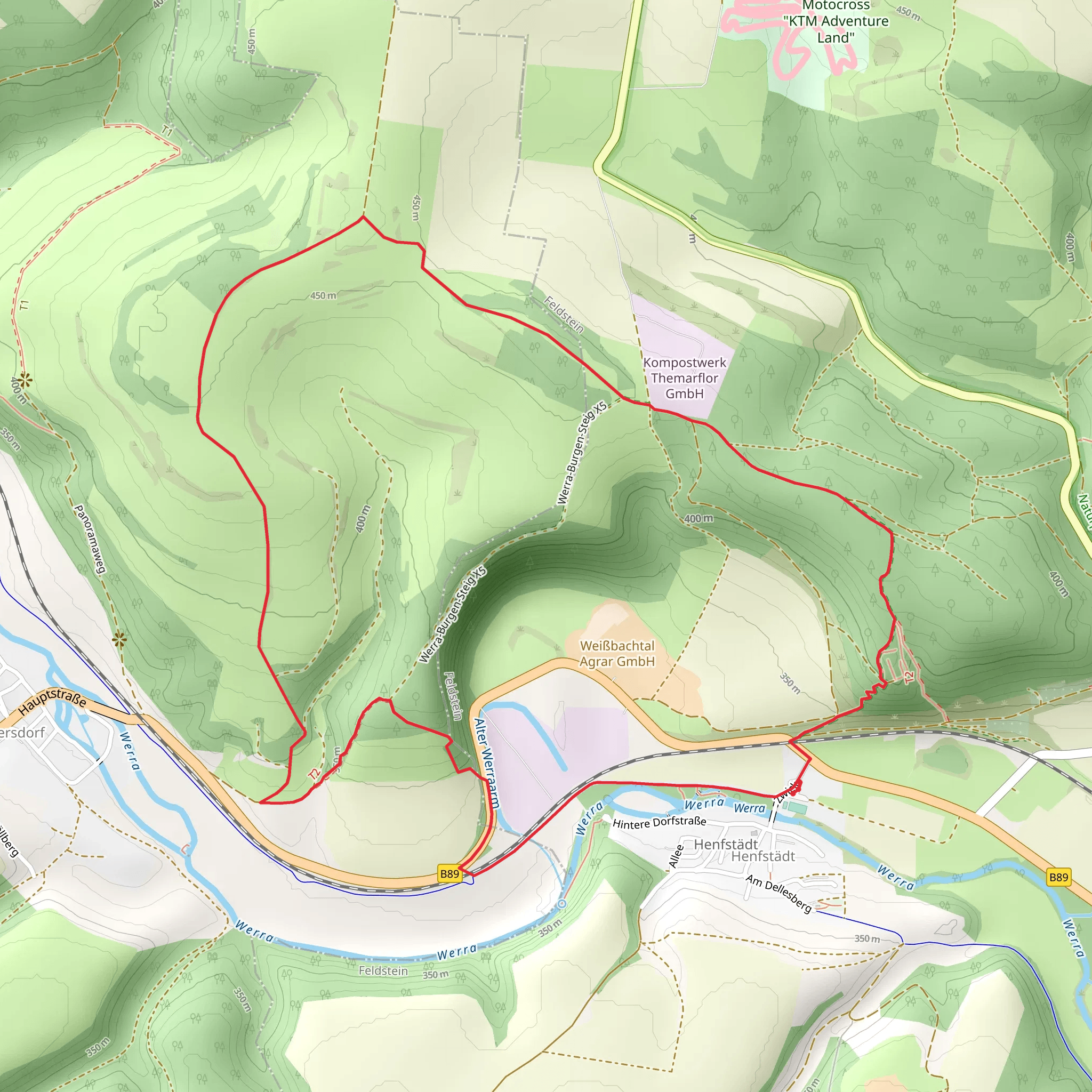
Approximately 2 km (1.24 miles) into the hike, you'll encounter the Ruine Osterburg, the ruins of an ancient castle. This site offers a glimpse into the region's medieval past. The castle, originally built in the 12th century, was a significant fortification in the area. Take some time to explore the ruins and imagine the historical events that unfolded here.
Gartleser Hohe
Continuing on, around the 4 km (2.48 miles) mark, you'll reach Gartleser Hohe, the highest point of the trail. At an elevation of about 500 meters (1640 feet) above sea level, this spot provides panoramic views of the surrounding Thuringian Forest. It's an excellent place to take a break and enjoy the scenery.
Anstein
As you descend from Gartleser Hohe, you'll come across Anstein, a notable rock formation. This geological feature is a favorite among local climbers and offers another opportunity to appreciate the natural beauty of the region. The descent from Gartleser Hohe to Anstein covers about 1.5 km (0.93 miles) and involves a drop of roughly 100 meters (328 feet).
Nature and Wildlife
The trail winds through dense forests and open meadows, providing a diverse range of flora and fauna. Keep an eye out for deer, foxes, and a variety of bird species. The forested sections are particularly beautiful in autumn when the leaves change color, creating a vibrant tapestry of reds, oranges, and yellows.
Navigation
For navigation, it's highly recommended to use the HiiKER app. The trail is well-marked, but having a reliable navigation tool will ensure you stay on track and can fully enjoy the hike without any worries.
Practical Tips
- Wear sturdy hiking boots, as some sections of the trail can be rocky and uneven.
- Bring enough water and snacks, especially if you plan to take breaks at the key landmarks.
- Check the weather forecast before heading out, as conditions can change rapidly in the forested areas.
- A lightweight rain jacket is advisable, even in summer, due to the unpredictable weather.
This loop trail near Hildburghausen offers a perfect blend of history, nature, and moderate physical challenge, making it a rewarding experience for any hiker.
What to expect?
Activity types
Comments and Reviews
User comments, reviews and discussions about the Ruine Osterburg, Gartleser Hohe and Anstein Loop, Germany.
4.4
average rating out of 5
5 rating(s)
