Download
3D Flyover
Add to list
More
7.6 km
~1 hrs 55 min
244 m
Loop
“Explore the Eiszeitwanderweg for a captivating blend of natural beauty and historical intrigue in Hersfeld-Rotenburg.”
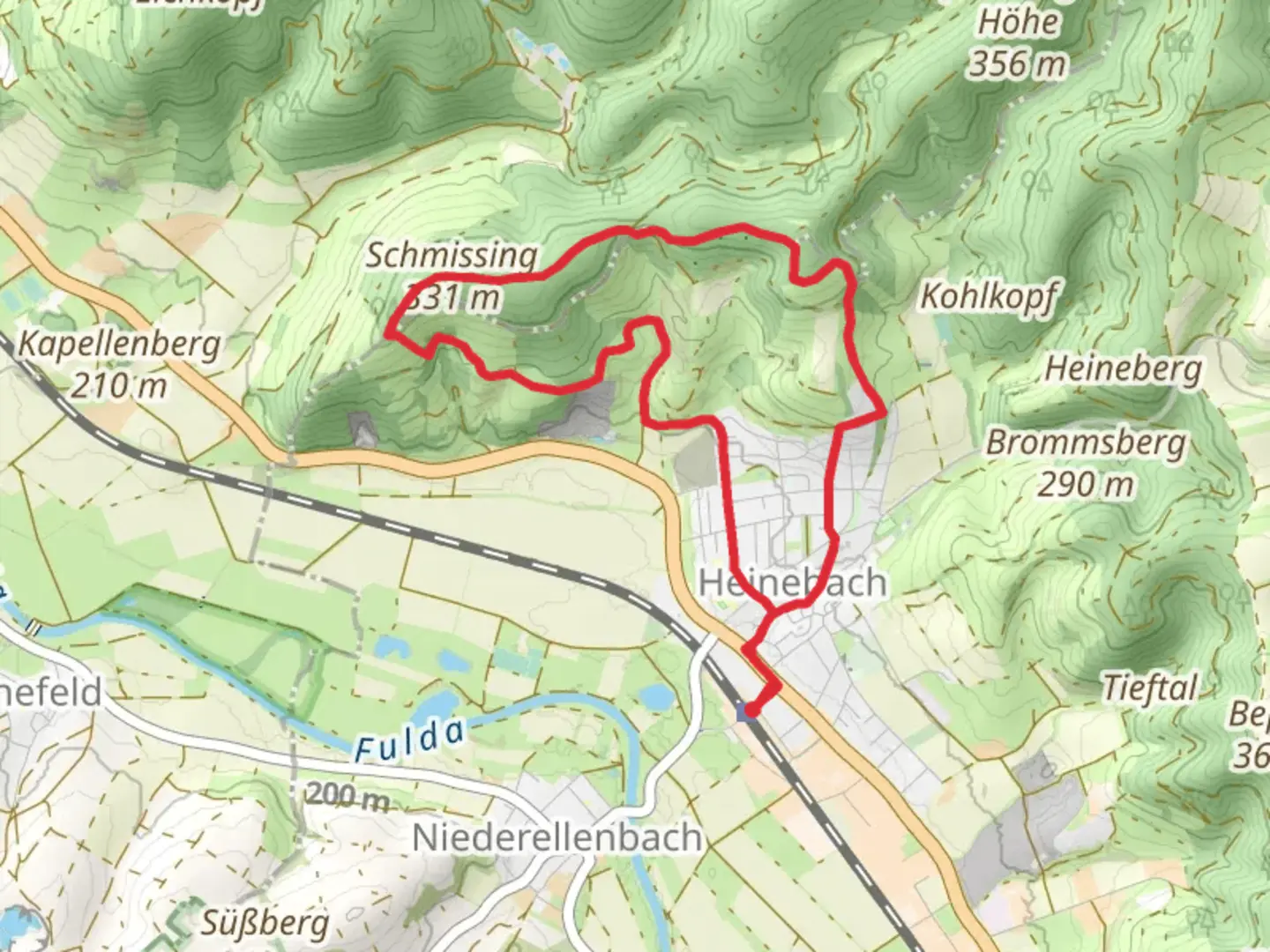
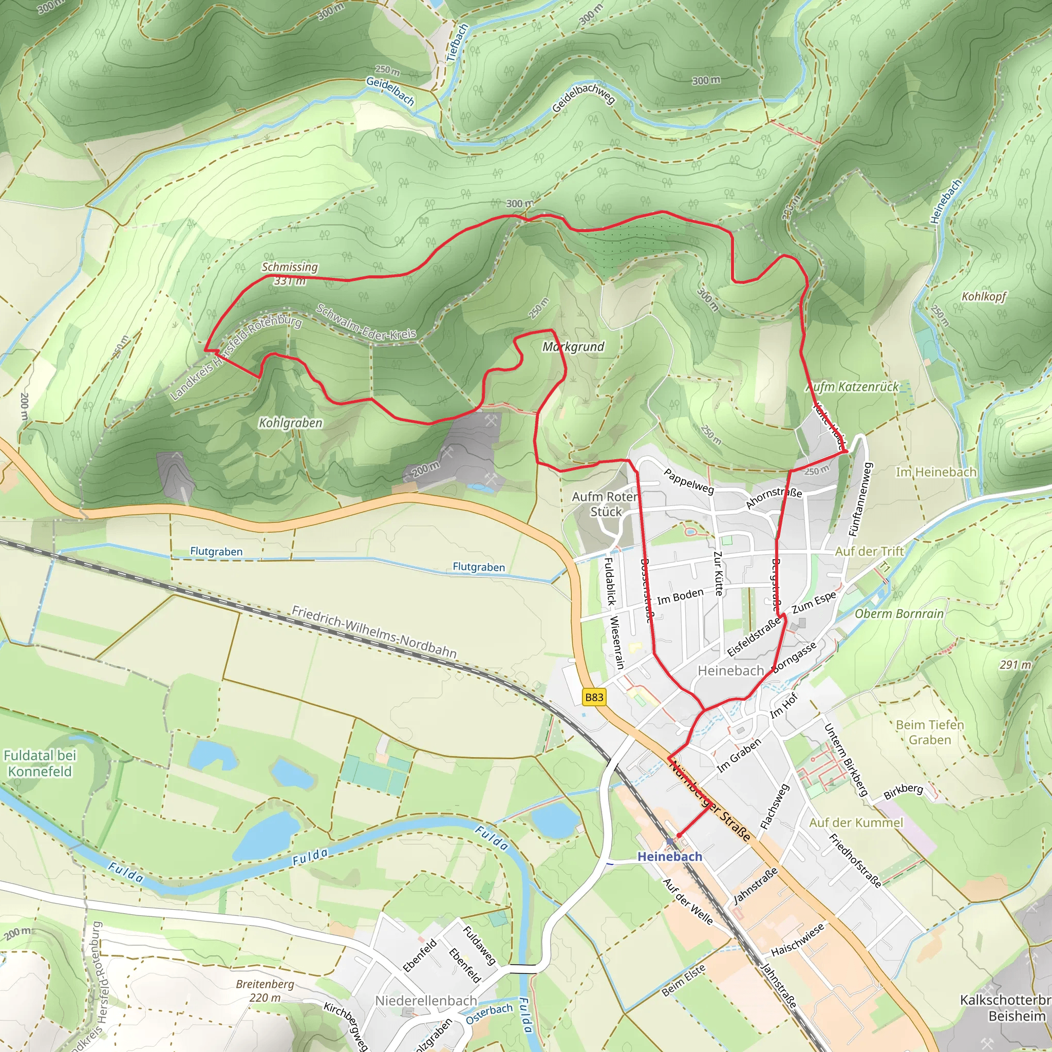
Starting near the picturesque town of Hersfeld-Rotenburg in Germany, the Eiszeitwanderweg is an 8 km (approximately 5 miles) loop trail with an elevation gain of around 200 meters (656 feet). This moderately challenging trail offers a delightful mix of natural beauty and historical intrigue, making it a rewarding experience for hikers of various skill levels.
Getting There
To reach the trailhead, you can drive or use public transport. If driving, set your GPS to Hersfeld-Rotenburg, and you will find ample parking options near the trail's starting point. For those using public transport, take a train to Bad Hersfeld station. From there, local buses or a short taxi ride will get you to the trailhead.
Trail Overview
The Eiszeitwanderweg takes you through a landscape shaped by the last Ice Age, offering a unique glimpse into geological history. The trail is well-marked, but it's always a good idea to have a reliable navigation tool like HiiKER to ensure you stay on track.
Key Landmarks and Points of Interest
- Glacial Erratics: About 2 km (1.2 miles) into the hike, you'll encounter large boulders known as glacial erratics. These rocks were transported and deposited by glacial ice, providing a tangible connection to the Ice Age.
- Ancient Forests: As you continue, you'll traverse through dense, ancient forests that have stood for centuries. These woods are home to a variety of wildlife, including deer, foxes, and numerous bird species. Keep your eyes peeled for these creatures, especially in the early morning or late afternoon.
- Panoramic Views: Around the 4 km (2.5 miles) mark, the trail ascends to a viewpoint offering panoramic vistas of the Hersfeld-Rotenburg region. This is an excellent spot for a break and some photography.
- Historical Sites: Near the 6 km (3.7 miles) point, you'll come across remnants of ancient settlements and possibly even some old fortifications. These sites offer a fascinating glimpse into the area's human history, dating back to medieval times.
Flora and Fauna
The trail is rich in biodiversity. In spring and summer, the meadows are adorned with wildflowers, including orchids and lilies. The forests are predominantly composed of beech and oak trees, providing a lush canopy that offers shade and a cool respite during warmer months.
Trail Conditions and Safety
The trail is generally well-maintained, but sections can be muddy and slippery, especially after rain. Good hiking boots with solid grip are recommended. The elevation gain is moderate but steady, so be prepared for some uphill sections. Always carry enough water, especially in the summer months, and consider packing a light snack or lunch to enjoy at one of the scenic spots along the way.
Navigation and Wayfinding
While the trail is well-marked, using a navigation tool like HiiKER can provide additional peace of mind. The app offers detailed maps and real-time tracking, ensuring you stay on the correct path throughout your hike.
Accessibility
The trail is accessible year-round, but the best times to hike are in the spring and fall when the weather is mild, and the natural scenery is at its most vibrant. Winter hikes can be beautiful but may require additional gear like crampons or trekking poles due to snow and ice.
Final Tips
Before setting out, check the local weather forecast and trail conditions. Inform someone of your hiking plans and expected return time. Mobile reception can be spotty in some areas, so downloading offline maps on HiiKER is advisable. Enjoy your hike through this remarkable landscape, where nature and history intertwine seamlessly.
Comments and Reviews
User comments, reviews and discussions about the Eiszeitwanderweg, Germany.
5.0
average rating out of 5
2 rating(s)
