Download
3D Flyover
Add to list
More
7.1 km
~1 hrs 40 min
155 m
Loop
“The Michelbach Loop is a scenic, moderately challenging 7 km hike featuring lush forests, wildlife, and historical landmarks.”
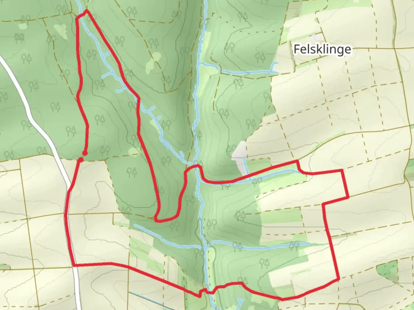
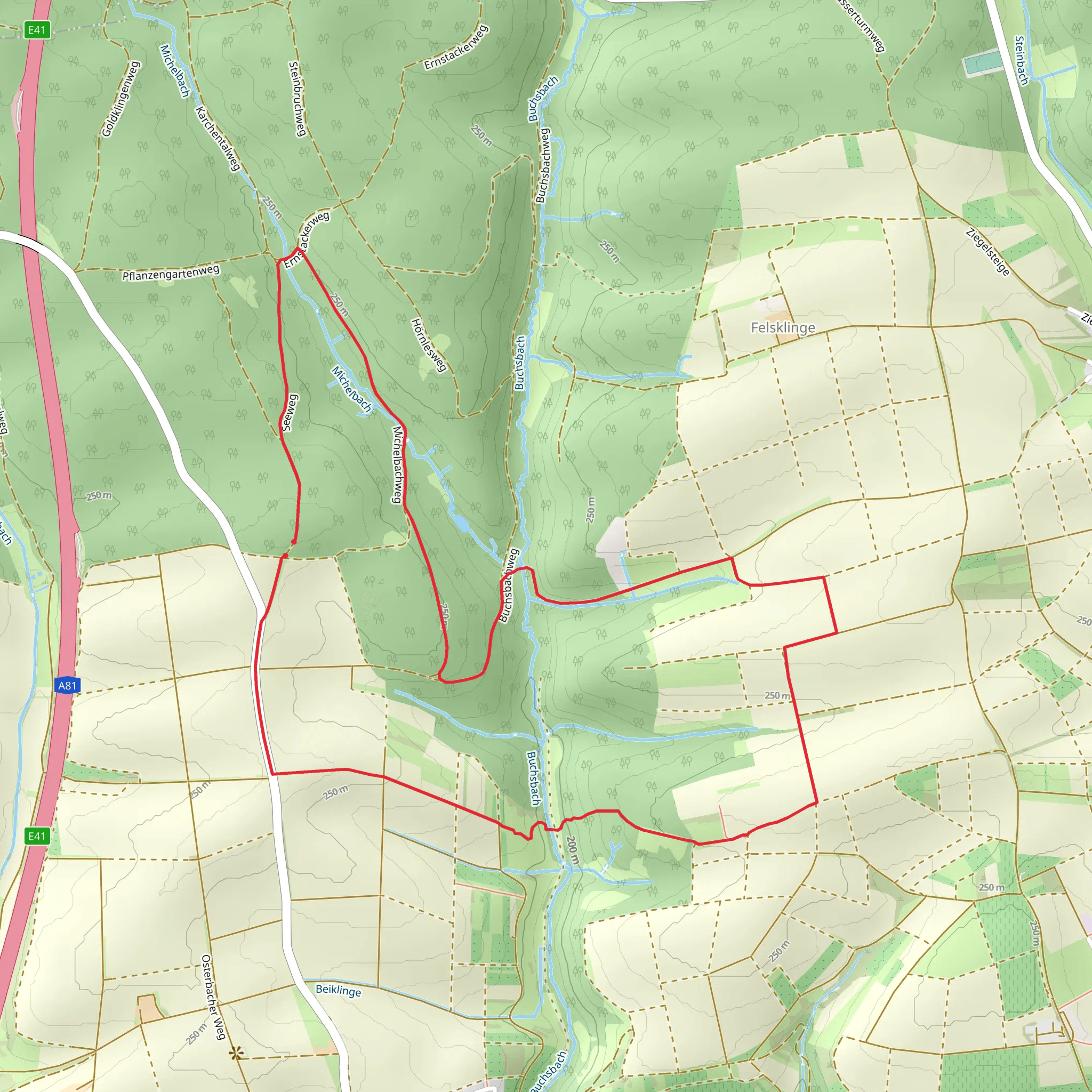
Starting near Heilbronn, Germany, the Michelbach Loop is a delightful 7 km (4.35 miles) trail with an elevation gain of around 100 meters (328 feet). This loop trail is estimated to be of medium difficulty, making it suitable for hikers with some experience.
Getting There
To reach the trailhead, you can either drive or use public transport. If driving, set your GPS to Michelbach, a small village near Heilbronn. There is ample parking available near the village center. For those using public transport, take a train to Heilbronn Hauptbahnhof and then a local bus to Michelbach. The bus stop is conveniently located near the trailhead.
Trail Overview
The trail begins in the charming village of Michelbach, known for its picturesque half-timbered houses. As you start your hike, you'll be greeted by a gentle ascent through lush forests and open meadows. The initial 2 km (1.24 miles) offer a gradual climb, gaining about 50 meters (164 feet) in elevation. This section is shaded, making it a pleasant walk even on warmer days.
Nature and Wildlife
As you continue, the trail opens up to expansive fields where you might spot local wildlife such as deer and various bird species. The flora is diverse, with wildflowers blooming in the spring and summer months. Keep an eye out for the vibrant colors of poppies and cornflowers.
Historical Significance
Around the 4 km (2.48 miles) mark, you'll come across the remnants of an old Roman road. This ancient pathway is a testament to the region's historical significance, dating back to the Roman Empire. Informational plaques provide insights into the history and importance of this route.
Key Landmarks
One of the highlights of the Michelbach Loop is the panoramic viewpoint located approximately 5 km (3.1 miles) into the hike. From here, you can enjoy sweeping views of the Swabian-Franconian Forest and the distant cityscape of Heilbronn. This is an excellent spot for a rest and some photography.
Navigation
Navigating the Michelbach Loop is straightforward, but it's always a good idea to have a reliable navigation tool. HiiKER is highly recommended for this purpose, offering detailed maps and real-time tracking to ensure you stay on course.
Final Stretch
The last 2 km (1.24 miles) of the trail take you through a serene forested area, gradually descending back to the village of Michelbach. This section is relatively easy, allowing you to cool down and reflect on the hike.
Practical Tips
- Wear sturdy hiking boots, as some sections can be uneven.
- Bring enough water, especially during the summer months.
- A light snack or picnic can be enjoyed at the panoramic viewpoint.
- Check the weather forecast before heading out, as the trail can be slippery after rain.
The Michelbach Loop offers a perfect blend of natural beauty, historical intrigue, and moderate physical challenge, making it a rewarding experience for any hiker.
What to expect?
Activity types
Comments and Reviews
User comments, reviews and discussions about the Michelbach Loop, Germany.
average rating out of 5
0 rating(s)
