Download
3D Flyover
Add to list
More
9.4 km
~2 hrs 25 min
320 m
Point-to-Point
“This scenic 9 km hike from Jahnstraße to Heidelberg-Schlierbach blends natural beauty, history, and moderate challenge.”
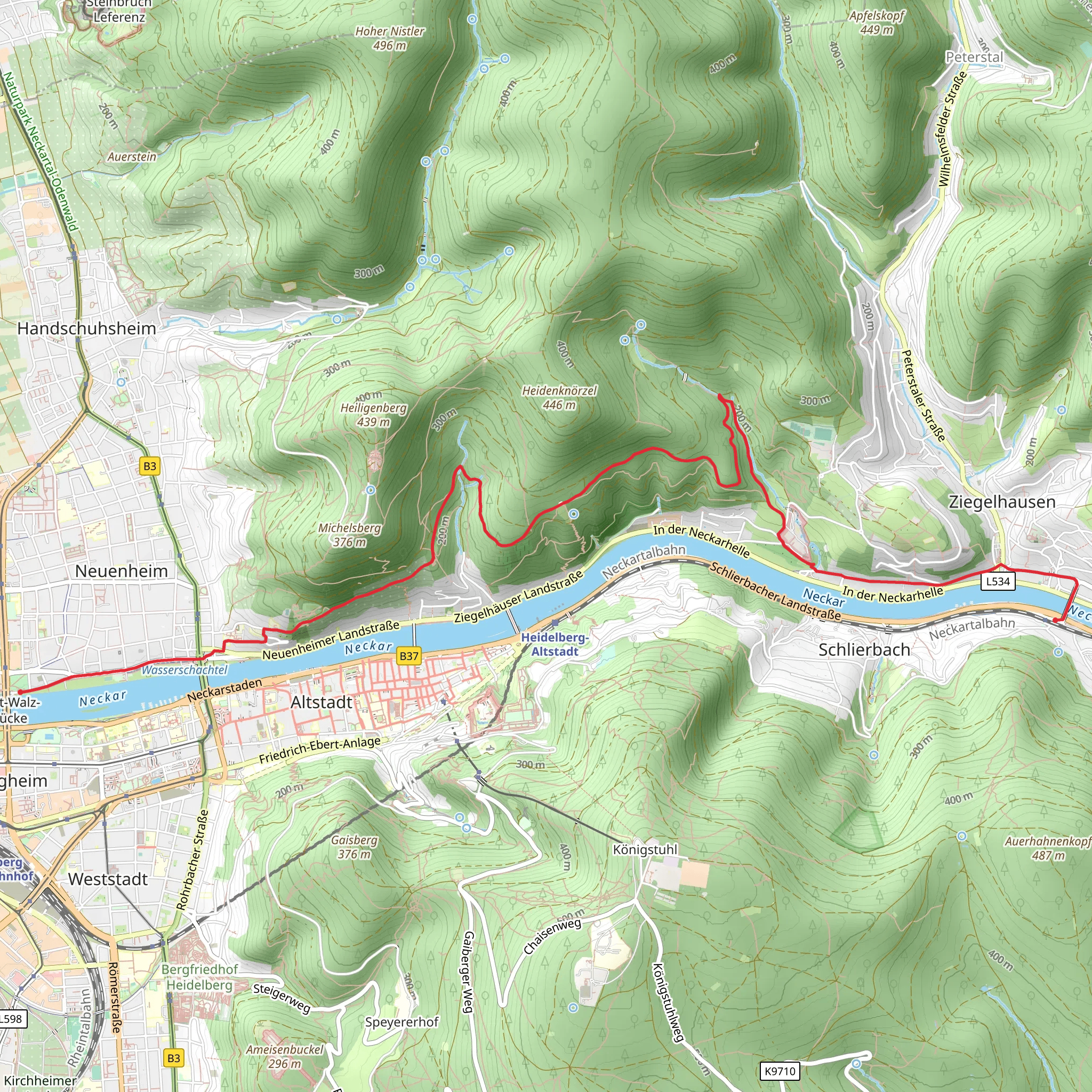
Starting near Heidelberg, Germany, this 9 km (approximately 5.6 miles) point-to-point trail from Jahnstraße to Heidelberg-Schlierbach via Rechter Neckarrandweg offers a medium difficulty hike with an elevation gain of around 300 meters (approximately 984 feet).
Getting There
To reach the trailhead, you can take public transport or drive. If you're using public transport, Heidelberg is well-connected by train, and from the main station, you can take a local bus to Jahnstraße. For those driving, there are parking options available near the starting point.
Trail Overview
The trail begins near Jahnstraße, a quiet residential area, and quickly immerses you in the natural beauty of the Neckar Valley. As you start your hike, you'll notice the lush greenery and the serene atmosphere that characterizes this region.
Key Landmarks and Sections
Initial Ascent: The first section involves a gradual ascent through dense forest. This part of the trail is well-marked and shaded, making it a pleasant climb. You'll gain about 150 meters (492 feet) in elevation over the first 2 km (1.2 miles).
Rechter Neckarrandweg: As you continue, you'll join the Rechter Neckarrandweg, a scenic path that runs parallel to the Neckar River. This section offers stunning views of the river and the surrounding hills. Keep an eye out for local wildlife, including deer and various bird species.
Historical Significance: Around the 4 km (2.5 miles) mark, you'll pass by the ruins of an old watchtower, a remnant from the medieval period when the region was fortified to protect against invaders. This spot provides a great opportunity for a short break and some historical reflection.
Midpoint Rest Area: At approximately 5 km (3.1 miles), there's a designated rest area with benches and a small shelter. This is an ideal spot to take a break, enjoy a snack, and soak in the panoramic views of the Neckar Valley.
Final Descent and Arrival
The final section of the trail involves a descent into the town of Heidelberg-Schlierbach. This part of the hike is less strenuous but requires careful footing, especially if the ground is wet. As you approach Schlierbach, you'll pass through picturesque vineyards and orchards, offering a glimpse into the region's agricultural heritage.
Navigation and Safety
For navigation, it's highly recommended to use HiiKER, which provides detailed maps and real-time updates. The trail is generally well-marked, but having a reliable navigation tool ensures you stay on track.
Flora and Fauna
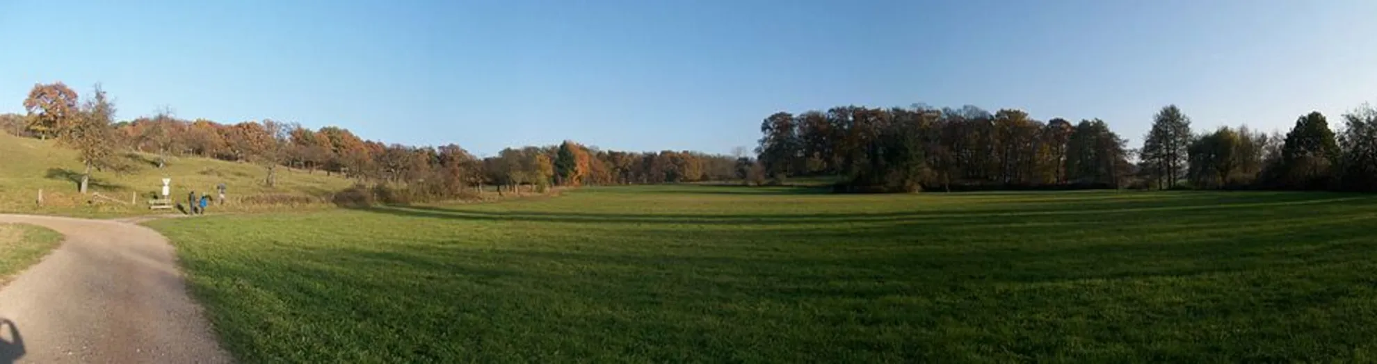
The trail is rich in biodiversity. In spring and summer, the forest floor is carpeted with wildflowers, and the trees are alive with the sounds of birds. In autumn, the foliage turns into a spectacular display of reds and oranges, making it a popular time for hiking.
Ending the Hike
The trail concludes in Heidelberg-Schlierbach, a charming town with several cafes and restaurants where you can relax and enjoy a meal. Public transport options are available from Schlierbach to return to Heidelberg or other nearby destinations.
This hike offers a perfect blend of natural beauty, historical landmarks, and moderate physical challenge, making it a rewarding experience for hikers of all levels.
What to expect?
Activity types
Comments and Reviews
User comments, reviews and discussions about the Jahnstraße to Heidelberg-Schlierbach Walk via Rechter Neckarrandweg, Germany.
4.5
average rating out of 5
6 rating(s)
