Download
3D Flyover
Add to list
More
13.7 km
~2 hrs 54 min
103 m
Loop
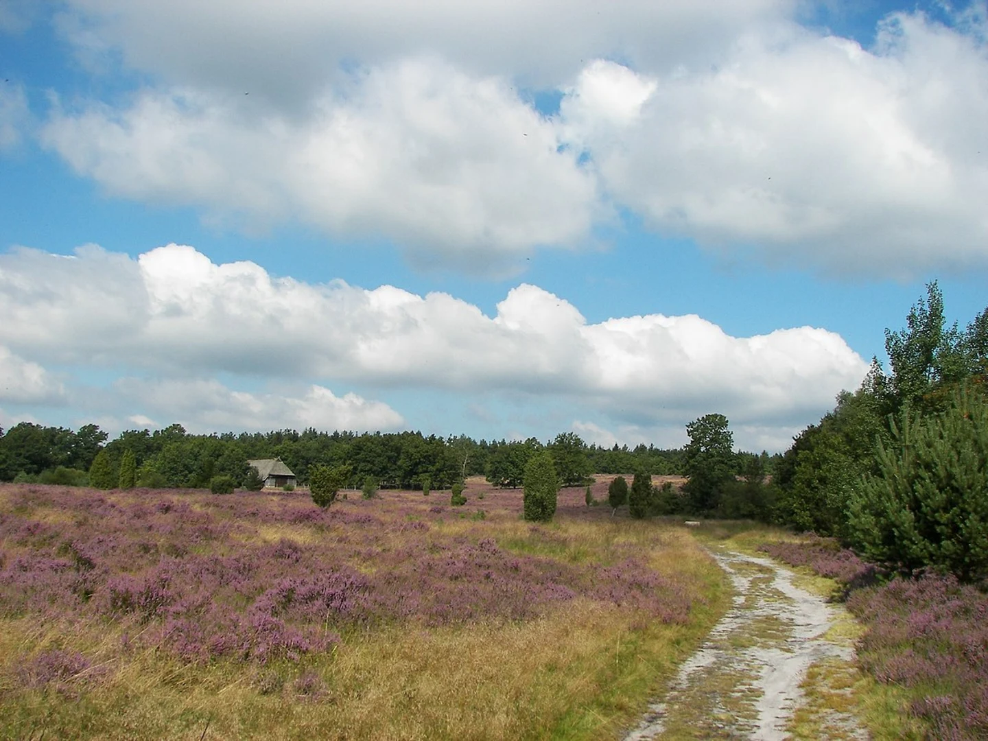
“Explore Luneburger Heide's 14 km trail, featuring heather fields, ancient junipers, and the eerie Totengrund Valley.”
Starting near Heidekreis, Germany, the Luneburger Heide, Stattberg and Totengrund Loop is a captivating 14 km (8.7 miles) trail with an elevation gain of approximately 100 meters (328 feet). This loop trail is rated as medium difficulty, making it accessible for most hikers with a moderate level of fitness.
Getting There
To reach the trailhead, you can drive or use public transport. If driving, set your GPS to Heidekreis, Germany, and look for parking near the Heide Park Resort, which is a well-known landmark in the area. For those using public transport, take a train to Soltau (Han) station. From there, local buses can take you closer to the trailhead, or you can opt for a short taxi ride.
Trail Highlights
The trail begins with a gentle ascent, leading you through the picturesque heathlands of Luneburger Heide. This region is renowned for its expansive fields of heather, which bloom in vibrant purples from late summer to early autumn. As you hike, you'll encounter a variety of flora and fauna, including rare bird species like the European nightjar and the woodlark.
Stattberg Section
Around the 5 km (3.1 miles) mark, you'll reach the Stattberg area. This section offers panoramic views of the surrounding heathlands and forests. The elevation here is modest but provides a good vantage point for photography and bird-watching. Keep an eye out for the ancient juniper trees that dot the landscape, some of which are hundreds of years old.
Totengrund Valley
Continuing on, you'll descend into the Totengrund Valley around the 9 km (5.6 miles) point. This valley is a geological marvel, formed during the last Ice Age. The name "Totengrund" translates to "Valley of the Dead," a nod to its eerie, yet beautiful, landscape. The valley is a protected nature reserve, home to a variety of plant species, including rare orchids and carnivorous plants like the sundew.
Historical Significance
The Luneburger Heide region has a rich history dating back to the Bronze Age. Archaeological sites along the trail reveal ancient burial mounds and remnants of early settlements. During the Middle Ages, the area was a significant trade route, and you may come across old stone markers that once guided merchants and travelers.
Navigation and Safety
For navigation, it's highly recommended to use the HiiKER app, which provides detailed maps and real-time updates. The trail is well-marked, but having a reliable navigation tool ensures you stay on course, especially in the more remote sections.
Wildlife and Flora
The trail is a haven for wildlife enthusiasts. Besides the bird species, you might spot roe deer, red foxes, and even the elusive European badger. The heathlands are also home to a variety of insects, including the rare silver-studded blue butterfly.
Final Stretch
As you loop back towards the starting point, the trail takes you through mixed woodlands and open fields. The final 3 km (1.9 miles) are relatively flat, allowing for a leisurely end to your hike. This section is perfect for reflecting on the diverse landscapes and historical richness you've experienced.
Whether you're a seasoned hiker or a nature lover, the Luneburger Heide, Stattberg and Totengrund Loop offers a unique blend of natural beauty, historical intrigue, and moderate physical challenge.

What to expect?
Activity types
Comments and Reviews
User comments, reviews and discussions about the Luneburger Heide, Stattberg and Totengrund Loop, Germany.
5.0
average rating out of 5
1 rating(s)