Download
3D Flyover
Add to list
More
9.7 km
~2 hrs 15 min
194 m
Point-to-Point
“Embark on a scenic 10 km hike through Göttingen's lush forests, rich history, and vibrant wildlife.”
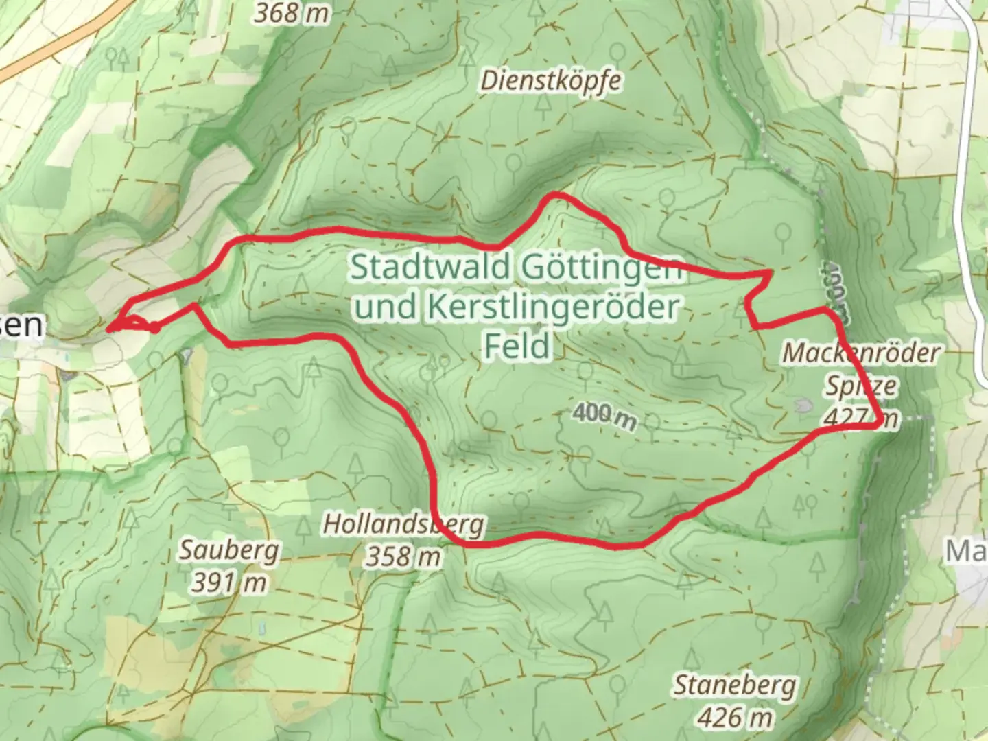
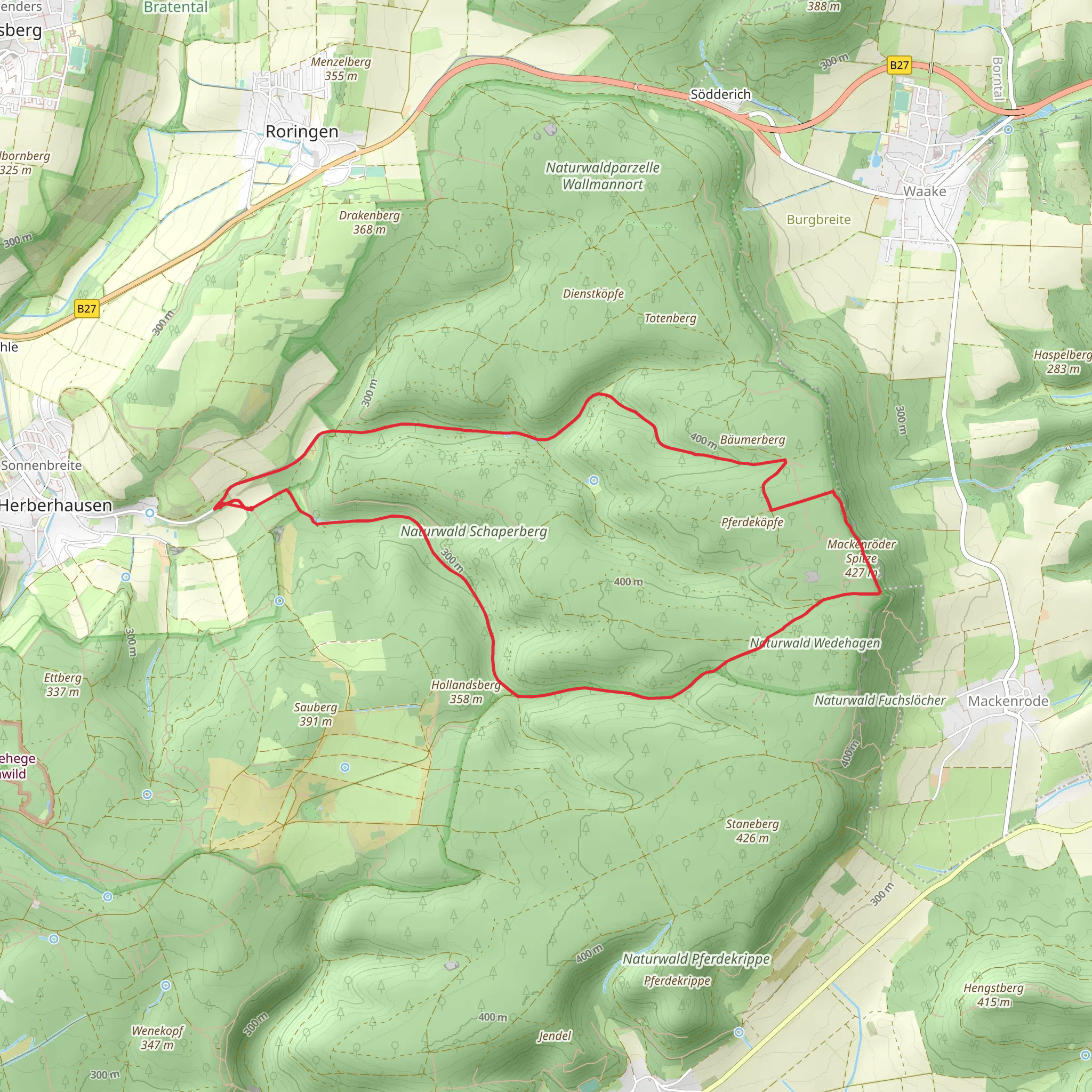
Starting near Göttingen, Germany, the Mackenroeder Spitze via Waldwiesenweg and Borheckstrasse trail offers a delightful 10 km (6.2 miles) point-to-point hike with an elevation gain of around 100 meters (328 feet). This medium-difficulty trail is perfect for those looking to explore the natural beauty and historical richness of the region.
Getting There
To reach the trailhead, you can either drive or use public transport. If driving, head towards Göttingen and look for parking near the Göttingen Forest area. For those using public transport, take a train to Göttingen Hauptbahnhof (Göttingen Central Station). From there, you can catch a local bus to the Göttingen Forest area, where the trail begins.
Trail Navigation
For navigation, it’s highly recommended to use the HiiKER app, which provides detailed maps and real-time updates to ensure you stay on track.
Trail Description
The trail starts near the Göttingen Forest, a lush area known for its dense woodlands and diverse flora. As you begin your hike, you’ll follow the Waldwiesenweg, a path that meanders through verdant meadows and forested areas. This section is relatively flat, making it a gentle introduction to the hike.
Significant Landmarks and Nature
At approximately 3 km (1.9 miles) into the hike, you’ll come across the Borheckstrasse, an old forest road that has historical significance. This road was once used for logging and transportation of goods in the early 20th century. As you walk along Borheckstrasse, you’ll notice remnants of old stone markers and possibly even some abandoned logging equipment, offering a glimpse into the region’s past.
Wildlife and Flora
The Göttingen Forest is home to a variety of wildlife, including deer, foxes, and numerous bird species. Keep an eye out for the European robin and the great spotted woodpecker, both commonly seen in this area. The forest floor is often carpeted with wildflowers, especially in the spring and early summer, adding a splash of color to your hike.
Elevation Gain and Terrain
As you continue, the trail gradually ascends towards Mackenroeder Spitze. The elevation gain is moderate, around 100 meters (328 feet), but the incline is steady, making it manageable for most hikers. The terrain varies from well-trodden paths to slightly rocky sections, so sturdy hiking boots are recommended.
Reaching Mackenroeder Spitze
Upon reaching Mackenroeder Spitze, you’ll be rewarded with panoramic views of the surrounding countryside. This vantage point offers a perfect spot for a rest and some photography. The area is relatively open, providing unobstructed views that are particularly stunning during sunrise or sunset.
Final Stretch
The final stretch of the trail descends gently through more forested areas, eventually leading you to the endpoint near the village of Mackenrode. This quaint village is a great place to explore a bit before heading back, with its traditional German architecture and friendly locals.
Historical Significance
The Göttingen region has a rich history, with Göttingen itself being a university town since the 18th century. The forests around Göttingen have been used for various purposes over the centuries, from logging to scientific research. Walking this trail, you are literally treading paths that have been used for generations.
Practical Tips
- Water and Snacks: Make sure to carry enough water and some snacks, as there are no facilities along the trail.
- Weather: Check the weather forecast before you go. The trail can get muddy after rain.
- Clothing: Dress in layers, as the forest can be cool even in summer.
This hike offers a perfect blend of natural beauty, moderate physical challenge, and historical intrigue, making it a must-do for anyone visiting the Göttingen area.
Comments and Reviews
User comments, reviews and discussions about the Mackenroeder Spitze via Waldwiesenweg and Borheckstrasse, Germany.
4.33
average rating out of 5
3 rating(s)
