Download
3D Flyover
Add to list
More
12.5 km
~2 hrs 50 min
211 m
Loop
“Explore lush forests, medieval ruins, and charming villages on this enchanting Göppingen hiking loop.”
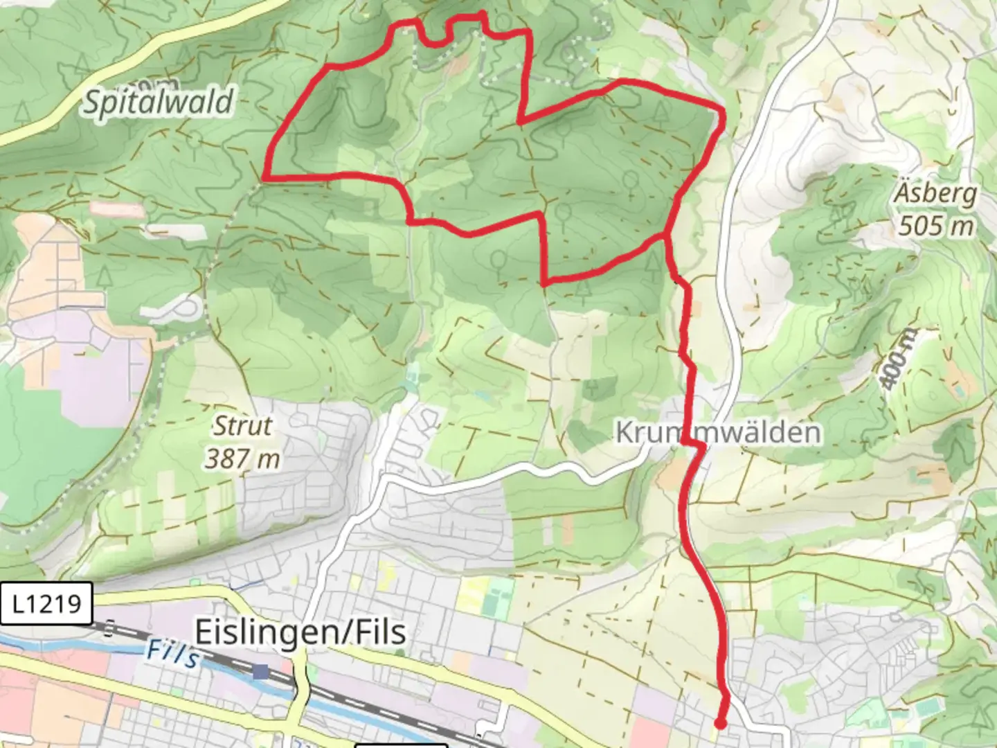
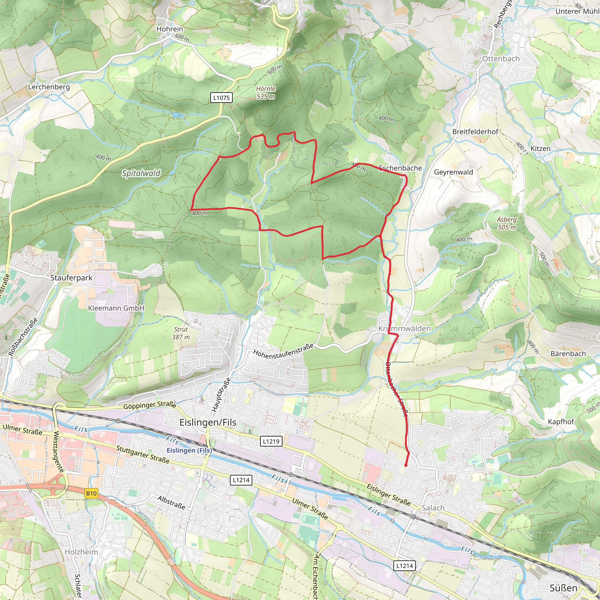
Nestled in the picturesque landscapes of southern Germany, this trail offers a delightful loop of approximately 12 kilometers (about 7.5 miles) with an elevation gain of around 200 meters (approximately 656 feet). Starting near the town of Göppingen, this trail is a perfect blend of natural beauty and cultural history, making it a rewarding experience for hikers of medium skill level.
Getting There
To reach the trailhead, you can drive to Göppingen, which is well-connected by road. If you prefer public transport, Göppingen is accessible via train from major cities like Stuttgart. From the Göppingen train station, local buses or a short taxi ride can take you to the trailhead. The starting point is conveniently located near the town center, making it easy to find.
Trail Highlights
As you embark on this loop, you'll traverse through the enchanting landscapes of the Swabian Alps and Upper Swabia. The trail is well-marked, but it's advisable to use HiiKER for navigation to ensure you stay on track and make the most of your journey.
Natural Beauty
The trail meanders through lush forests, open meadows, and rolling hills, offering a diverse range of scenery. In spring and summer, the meadows burst into color with wildflowers, while autumn brings a stunning display of foliage. Keep an eye out for local wildlife, including deer and a variety of bird species that inhabit the area.
Historical Significance
This region is steeped in history, with roots tracing back to ancient times. As you hike, you'll encounter remnants of medieval settlements and castles that once stood as fortresses in the Swabian Alps. These historical sites provide a glimpse into the past and are perfect spots for a rest and reflection.
Points of Interest
Hohenstaufen Castle Ruins: Approximately 5 kilometers (3.1 miles) into the hike, you'll come across the ruins of Hohenstaufen Castle. This site offers panoramic views of the surrounding landscape and is a testament to the region's medieval heritage.
Fils River: The trail also skirts along the Fils River, providing serene views and the soothing sounds of flowing water. It's an ideal spot for a picnic or a moment of tranquility.
Local Villages: As you loop back towards Göppingen, you'll pass through charming villages that offer a taste of local culture and architecture. Consider stopping by a local café for a traditional Swabian treat.
Trail Conditions and Tips
The trail is generally well-maintained, but it's important to be prepared for varying conditions. Wear sturdy hiking boots, especially after rain, as some sections can become muddy. The elevation gain is moderate, but there are a few steeper sections that may require a bit of effort. Always check the weather forecast before setting out and pack accordingly.
This trail offers a perfect blend of nature, history, and culture, making it a must-visit for those exploring the Göppingen region. Whether you're a seasoned hiker or looking for a day of adventure, this loop promises a memorable experience.
Comments and Reviews
User comments, reviews and discussions about the Eislingen and Schwaebische-Alb-Oberschwaben Weg, Germany.
average rating out of 5
0 rating(s)
