Download
3D Flyover
Add to list
More
6.6 km
~1 hrs 22 min
33 m
Loop
“Explore the 7 km Taubenteich via Resser Grenzweg trail in Gelsenkirchen for serene nature and rich history.”
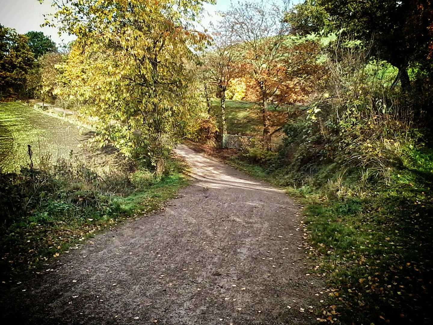
Starting near Gelsenkirchen, Germany, the Taubenteich via Resser Grenzweg trail is a delightful 7 km (approximately 4.3 miles) loop with no significant elevation gain, making it accessible for a wide range of hikers. The trailhead is conveniently located near the city, making it easy to reach by both public transport and car. If you're driving, you can park near the Resser Mark area. For those using public transport, the nearest significant landmark is the Gelsenkirchen-Buer Nord train station, from which you can take a local bus to the Resser Mark stop.
Trail Overview
The trail begins in a serene woodland area, offering a peaceful escape from the urban environment. As you start your hike, you'll notice the lush greenery and the well-maintained path that guides you through the forest. The trail is well-marked, but it's always a good idea to have a navigation tool like HiiKER to ensure you stay on track.
Key Landmarks and Points of Interest
Taubenteich Pond
About 2 km (1.2 miles) into the hike, you'll come across the Taubenteich Pond. This picturesque spot is perfect for a short break. The pond is home to various species of waterfowl, so keep your eyes peeled for ducks and swans. It's a great place for birdwatching, especially in the early morning or late afternoon.
Resser Grenzweg
Continuing along the trail, you'll reach the Resser Grenzweg, a historic boundary path that once marked the borders between different territories. This section of the trail is rich in history, and you'll find informational plaques along the way that provide insights into the region's past. The path is relatively flat, making it an easy walk while you soak in the historical context.
Flora and Fauna
The trail is abundant with native flora, including oak, beech, and pine trees. In the spring and summer months, the forest floor is carpeted with wildflowers, adding a splash of color to your hike. Wildlife is also plentiful; you might spot deer, foxes, and a variety of bird species. The diversity of plant and animal life makes this trail a nature lover's paradise.
Practical Information
Getting There
- By Car: If you're driving, set your GPS to Resser Mark, Gelsenkirchen. There are several parking spots available near the trailhead.
- By Public Transport: From Gelsenkirchen-Buer Nord train station, take a local bus to the Resser Mark stop. The trailhead is a short walk from there.
Trail Conditions
The trail is well-maintained and suitable for most fitness levels. However, it can get muddy after rain, so waterproof hiking boots are recommended. There are no significant elevation changes, making it a comfortable hike for families and casual hikers.
Navigation
While the trail is well-marked, using a navigation tool like HiiKER can help you stay on course and provide additional information about the trail and its surroundings.
This 7 km loop offers a perfect blend of natural beauty and historical significance, making it a rewarding experience for anyone looking to explore the Gelsenkirchen area.

What to expect?
Activity types
Comments and Reviews
User comments, reviews and discussions about the Taubenteich via Resser Grenzweg, Germany.
5.0
average rating out of 5
1 rating(s)