Download
3D Flyover
Add to list
More
10.9 km
~2 hrs 30 min
194 m
Loop
“Embark on the scenic 11 km Dietershausen Loop near Fulda for a medium-difficulty hike through lush forests and historic landmarks.”
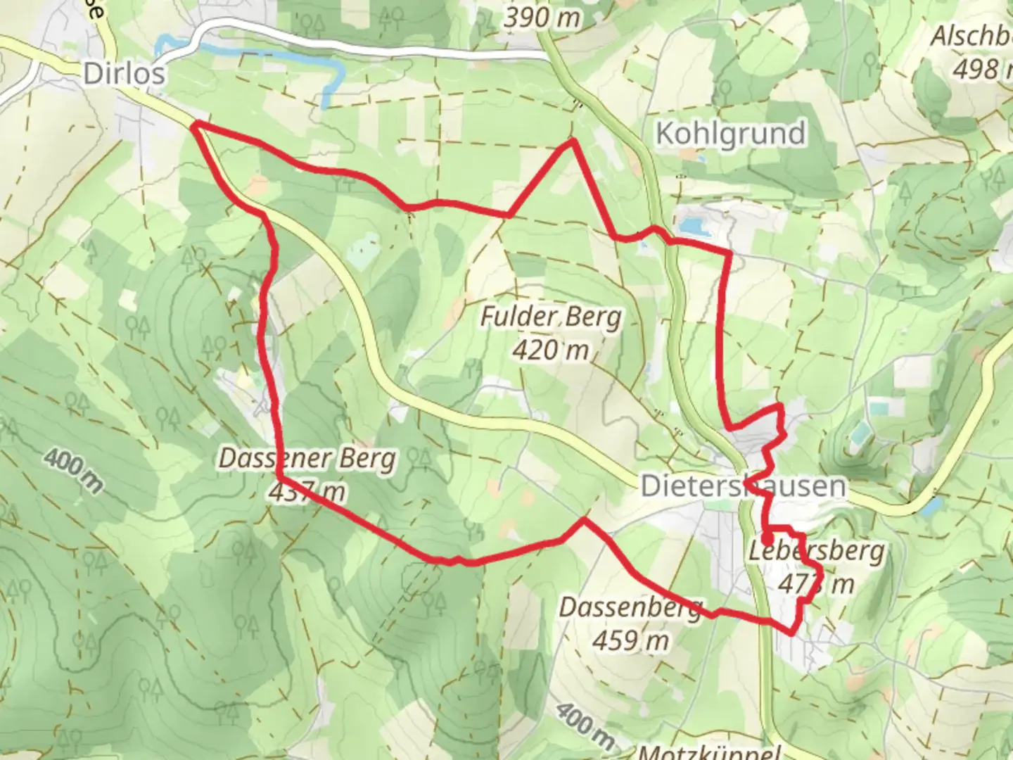
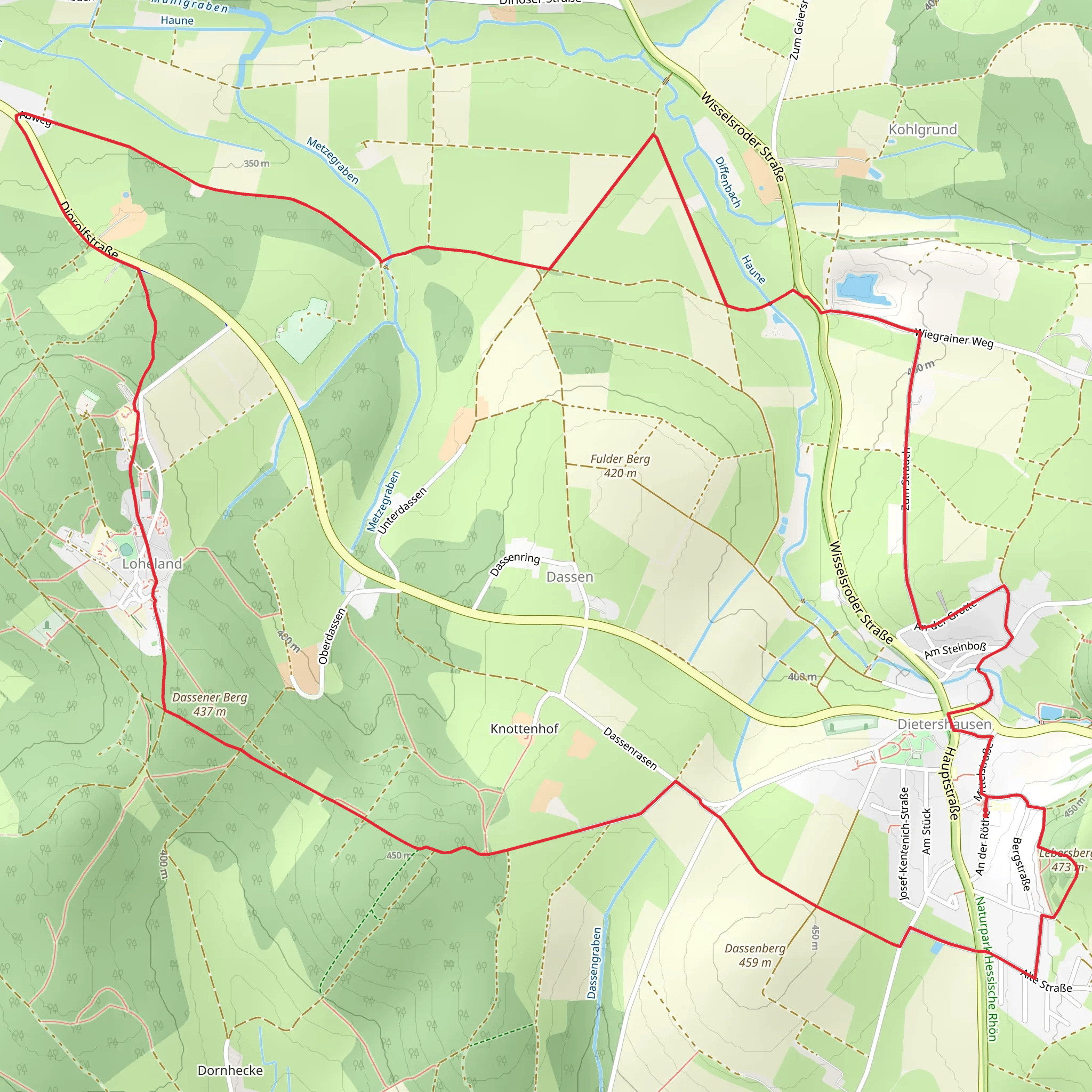
Starting near the picturesque town of Fulda, Germany, the Dietershausen Loop offers an 11 km (approximately 6.8 miles) journey through the serene Hessian countryside. With an elevation gain of around 100 meters (328 feet), this loop trail is estimated to be of medium difficulty, making it suitable for moderately experienced hikers.
Getting There
To reach the trailhead, you can drive or use public transportation. If driving, set your GPS to Dietershausen, a small village near Fulda. For those using public transport, take a train to Fulda, which is well-connected by regional and long-distance trains. From Fulda, you can catch a local bus to Dietershausen. The bus stop is conveniently located near the trailhead.
Trail Navigation
For navigation, it’s highly recommended to use the HiiKER app, which provides detailed maps and real-time updates. The trail is well-marked, but having a reliable navigation tool ensures you stay on track.
Trail Highlights
As you embark on the Dietershausen Loop, you’ll traverse a variety of landscapes, from dense forests to open meadows. The trail offers a mix of natural beauty and historical significance.
Nature and Wildlife
The trail winds through lush deciduous forests, where you might spot native wildlife such as deer, foxes, and a variety of bird species. In the spring and summer, the meadows are adorned with wildflowers, making it a vibrant and colorful hike.
Historical Significance
One of the notable landmarks along the trail is the small chapel of St. Wendelin, located about 4 km (2.5 miles) into the hike. This chapel dates back to the 18th century and is a peaceful spot to take a break and reflect. The region around Fulda has a rich history, with Fulda itself being founded in 744 AD as a Benedictine monastery. The influence of this historical backdrop can be felt throughout the hike.
Points of Interest
Around the halfway mark, approximately 5.5 km (3.4 miles) in, you’ll come across a scenic viewpoint that offers panoramic views of the surrounding countryside. This is an excellent spot for a picnic or a rest.
Elevation and Terrain
The trail features a gentle elevation gain of about 100 meters (328 feet), spread out over the course of the hike. The terrain is varied but generally well-maintained, with some sections being more rugged and requiring careful footing. Good hiking boots are recommended.
Practical Information
The loop brings you back to your starting point in Dietershausen, making logistics simple. There are no significant water sources along the trail, so be sure to carry enough water for the entire hike. Additionally, packing some snacks or a light meal is advisable, especially if you plan to take breaks at the scenic spots.
By preparing adequately and using the HiiKER app for navigation, you can fully enjoy the natural beauty and historical richness of the Dietershausen Loop.
Comments and Reviews
User comments, reviews and discussions about the Dietershausen Loop, Germany.
5.0
average rating out of 5
1 rating(s)
