Download
3D Flyover
Add to list
More
6.8 km
~1 hrs 36 min
150 m
Loop
“Explore the Wildkatze and Voegel am Waldrand Loop for a stunning 7 km hike with wildlife and history.”
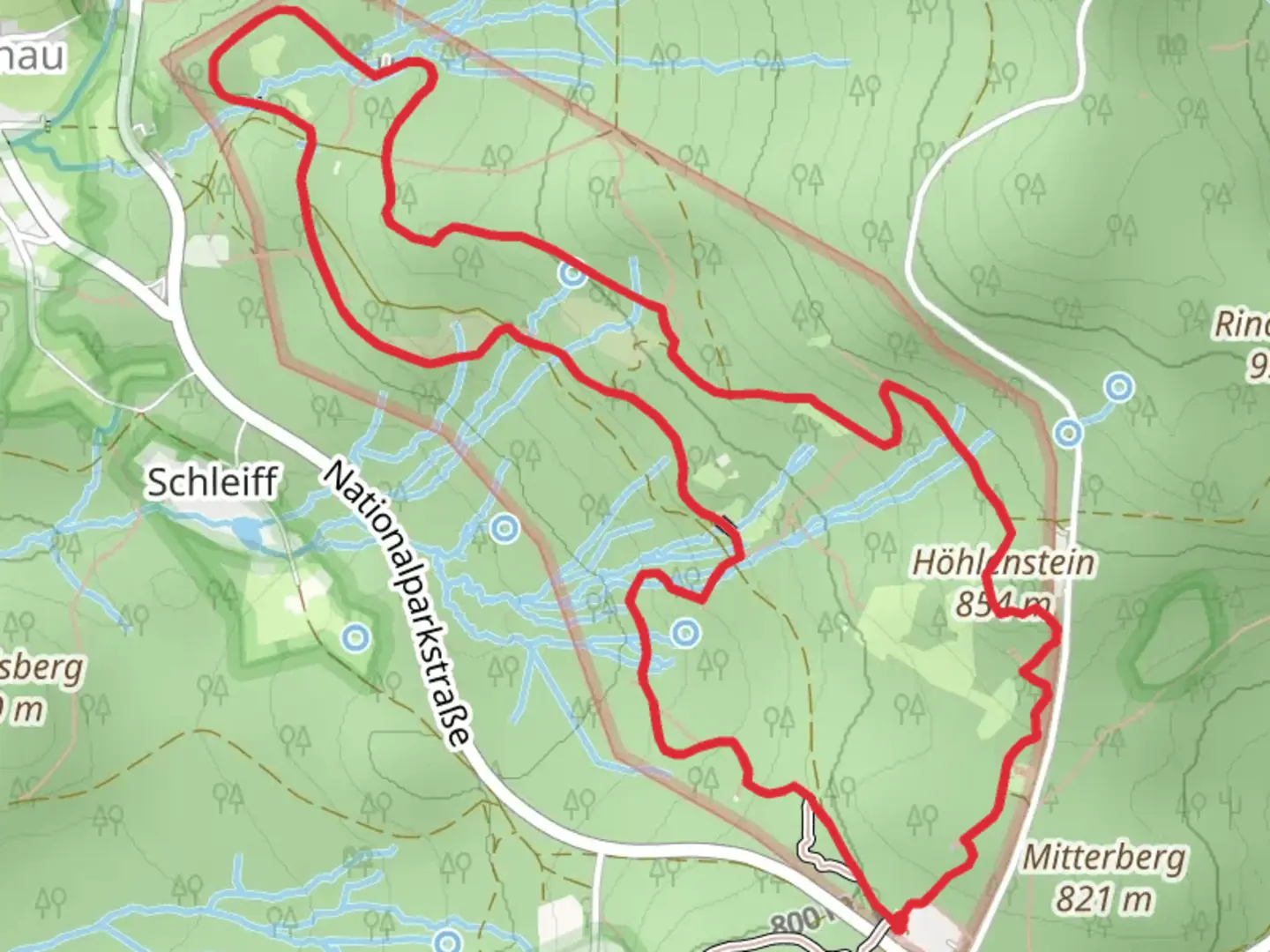
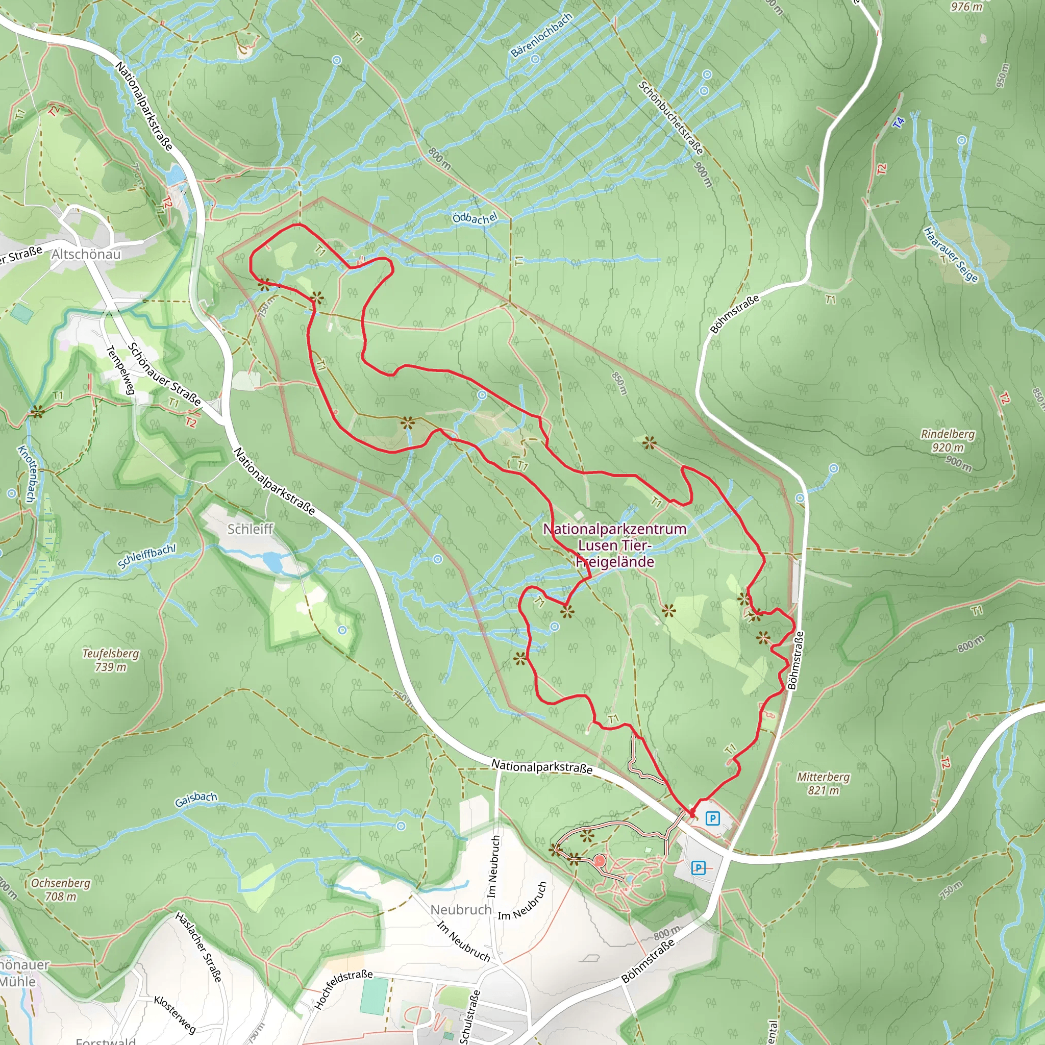
Starting near Freyung-Grafenau in Germany, the Wildkatze and Voegel am Waldrand Loop via Gehegerundweg is a captivating 7 km (approximately 4.3 miles) loop trail with an elevation gain of around 100 meters (328 feet). This trail offers a moderate challenge, making it suitable for hikers with some experience.
Getting There
To reach the trailhead, you can either drive or use public transport. If driving, set your GPS to Freyung-Grafenau, and look for parking near the Gehegerundweg area. For those using public transport, take a train to Freyung station and then a local bus towards Grafenau. The nearest significant landmark to the trailhead is the Freyung-Grafenau district office.
Trail Overview
The trail begins with a gentle ascent through a mixed forest, where you will be greeted by the sounds of various bird species. This initial section is relatively easy, allowing you to warm up before the more challenging parts of the hike.
Flora and Fauna
As you progress, keep an eye out for the wildcats (Wildkatze) that the trail is named after. These elusive creatures are rare but have been spotted in the area. Birdwatchers will also find this trail rewarding, with numerous species inhabiting the forest edges (Voegel am Waldrand). Bring a pair of binoculars for a closer look.
Significant Landmarks
At around the 3 km (1.86 miles) mark, you will come across a historical marker indicating the site of an old hunting lodge. This area was once frequented by local nobility, adding a touch of historical significance to your hike. The lodge itself no longer stands, but the marker provides interesting insights into the region's past.
Elevation and Terrain
The trail's elevation gain is gradual, with the steepest section occurring between the 4 km (2.5 miles) and 5 km (3.1 miles) marks. Here, the path becomes rockier and more challenging, requiring careful footing. This section offers stunning views of the surrounding Bavarian Forest, making the effort well worth it.
Navigation
To ensure you stay on track, use the HiiKER app, which provides detailed maps and real-time navigation. The trail is well-marked, but having a reliable navigation tool will enhance your hiking experience.
Final Stretch
The final 2 km (1.24 miles) of the loop take you through a serene meadow, where you can often spot deer grazing. This section is relatively flat and offers a peaceful end to your hike. As you approach the trailhead, you'll pass by a small pond, a perfect spot for a short rest before concluding your adventure.
Practical Tips
- Wear sturdy hiking boots, as the terrain can be uneven and rocky in places.
- Bring water and snacks, as there are no facilities along the trail.
- Check the weather forecast before heading out, as conditions can change rapidly in the forest.
This trail offers a blend of natural beauty, wildlife, and historical intrigue, making it a rewarding experience for those who venture into the Bavarian Forest.
What to expect?
Activity types
Comments and Reviews
User comments, reviews and discussions about the Wildkatze and Voegel am Waldrand Loop via Gehegerundweg, Germany.
4.5
average rating out of 5
4 rating(s)
