Download
3D Flyover
Add to list
More
7.8 km
~2 hrs 2 min
287 m
Loop
“"Explore diverse landscapes and rich history on this 8 km rewarding hike in Freyung-Grafenau, Germany."”
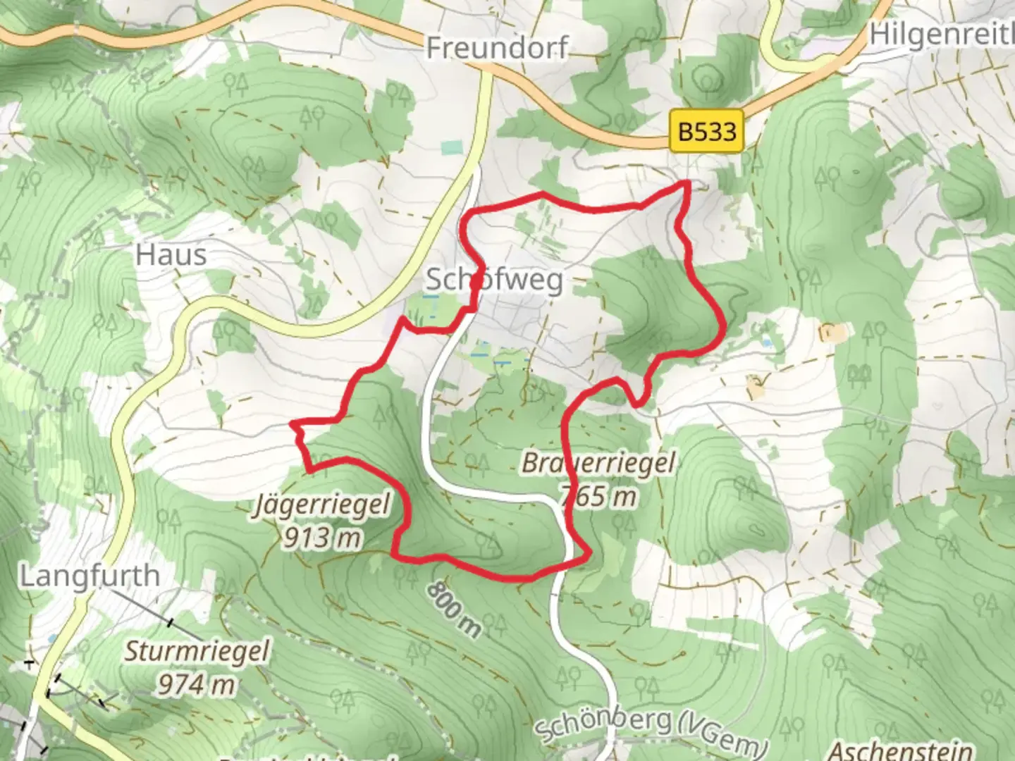
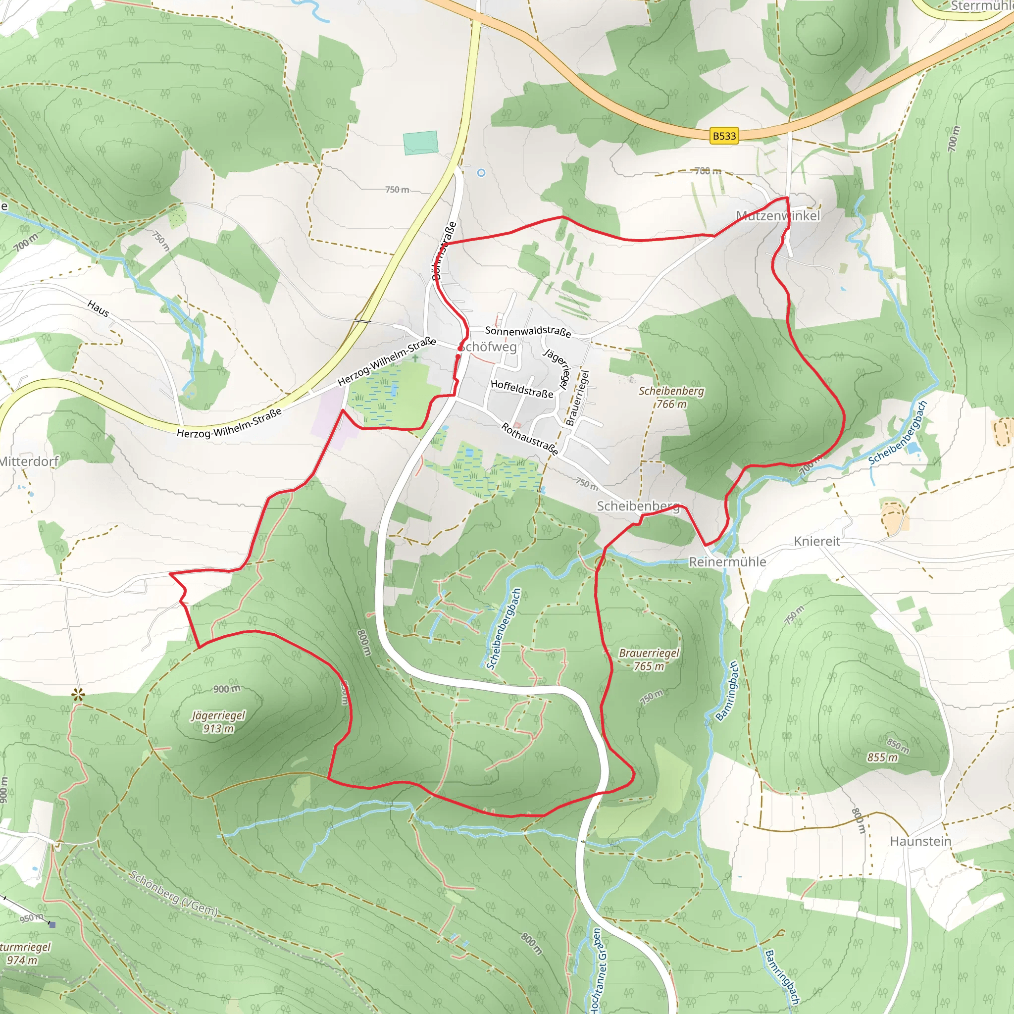
Starting near Freyung-Grafenau in Germany, this 8 km (approximately 5 miles) loop trail offers a delightful mix of natural beauty and moderate challenges, making it an excellent choice for hikers looking for a rewarding day hike. With an elevation gain of around 200 meters (656 feet), the trail is rated as medium difficulty, suitable for those with some hiking experience.
Getting There
To reach the trailhead, you can either drive or use public transport. If driving, set your GPS to Freyung-Grafenau, and you'll find parking options near the starting point. For those using public transport, take a train or bus to Freyung-Grafenau. From the town center, local buses or a short taxi ride can get you to the trailhead.
Trail Overview
The trail begins with a gentle ascent through a mixed forest, where you'll be greeted by the soothing sounds of birds and the rustling of leaves. After about 1 km (0.6 miles), the path starts to climb more steeply, gaining around 100 meters (328 feet) in elevation over the next 2 km (1.2 miles). This section can be a bit challenging, but the well-maintained path and occasional benches provide opportunities to rest and take in the surroundings.
Significant Landmarks
At approximately 3 km (1.8 miles) into the hike, you'll reach a scenic viewpoint offering panoramic views of the Bavarian Forest. This is a great spot to take a break, enjoy a snack, and capture some photos. Continuing on, the trail descends gradually, leading you through a picturesque meadow filled with wildflowers in the spring and summer months.
Nature and Wildlife
The Riegelrunde trail is home to a variety of flora and fauna. Keep an eye out for deer, foxes, and a wide range of bird species. The forested sections are particularly rich in biodiversity, with towering beech and oak trees providing a habitat for numerous woodland creatures.
Historical Significance
The region around Freyung-Grafenau has a rich history dating back to medieval times. As you hike, you'll come across remnants of old stone walls and possibly even ancient boundary markers. These historical artifacts offer a glimpse into the area's past, where it served as a significant route for traders and travelers.
Navigation
For navigation, it's highly recommended to use the HiiKER app, which provides detailed maps and real-time updates. The trail is well-marked, but having a reliable navigation tool can enhance your hiking experience and ensure you stay on the right path.
Final Stretch
The last 2 km (1.2 miles) of the trail are relatively flat and easy, winding through a serene forest before looping back to the starting point. This section is perfect for cooling down and reflecting on the hike.
By the end of the loop, you'll have experienced a diverse range of landscapes, from dense forests to open meadows, all while enjoying the natural and historical richness of the Freyung-Grafenau region.
Comments and Reviews
User comments, reviews and discussions about the Riegelrunde, Germany.
5.0
average rating out of 5
1 rating(s)
