Download
3D Flyover
Add to list
More
8.3 km
~2 hrs 5 min
253 m
Loop
“Explore the Eisvogel Loop's rich history and natural beauty on this rewarding 8 km trail.”
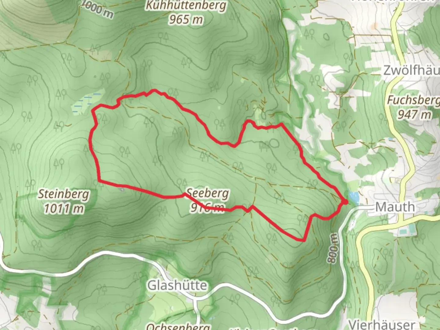
Starting near the picturesque town of Freyung-Grafenau in Germany, the Eisvogel Loop is an 8 km (approximately 5 miles) trail with an elevation gain of around 200 meters (656 feet). This loop trail is rated as medium difficulty, making it suitable for moderately experienced hikers.
Getting There
To reach the trailhead, you can either drive or use public transport. If driving, set your GPS to Freyung-Grafenau, and you will find ample parking options near the trailhead. For those using public transport, take a train to Freyung station. From there, local buses or a short taxi ride will get you to the starting point.
Trail Overview
The Eisvogel Loop begins with a gentle ascent through dense, mixed forests. The initial 2 km (1.2 miles) will take you through a canopy of beech and oak trees, providing ample shade and a serene atmosphere. As you continue, the trail opens up to a series of meadows, where you can catch glimpses of local wildlife such as deer and various bird species, including the trail's namesake, the kingfisher (Eisvogel in German).
Significant Landmarks
Around the 3 km (1.8 miles) mark, you will come across the historic ruins of an old watchtower, dating back to the medieval period. This site offers a fantastic spot for a short break and some exploration. The watchtower was part of a network of fortifications that once protected the region from invaders.
Nature and Wildlife
As you proceed, the trail meanders alongside a small stream for about 1 km (0.6 miles). This section is particularly rich in flora and fauna. Look out for wildflowers such as orchids and lilies, especially in the spring and early summer months. The stream is also a habitat for amphibians like frogs and newts.
Elevation Gain
The most challenging part of the trail comes around the 5 km (3.1 miles) mark, where you will encounter a steeper ascent. This section gains approximately 100 meters (328 feet) in elevation over a distance of 1 km (0.6 miles). The effort is well worth it, as you will be rewarded with panoramic views of the Bavarian Forest and the distant Alps on clear days.
Final Stretch
The last 2 km (1.2 miles) of the trail are a gentle descent back towards the trailhead. This section takes you through a mix of forest and open fields, offering a peaceful end to your hike. Keep an eye out for the occasional fox or hare darting across the path.
Navigation
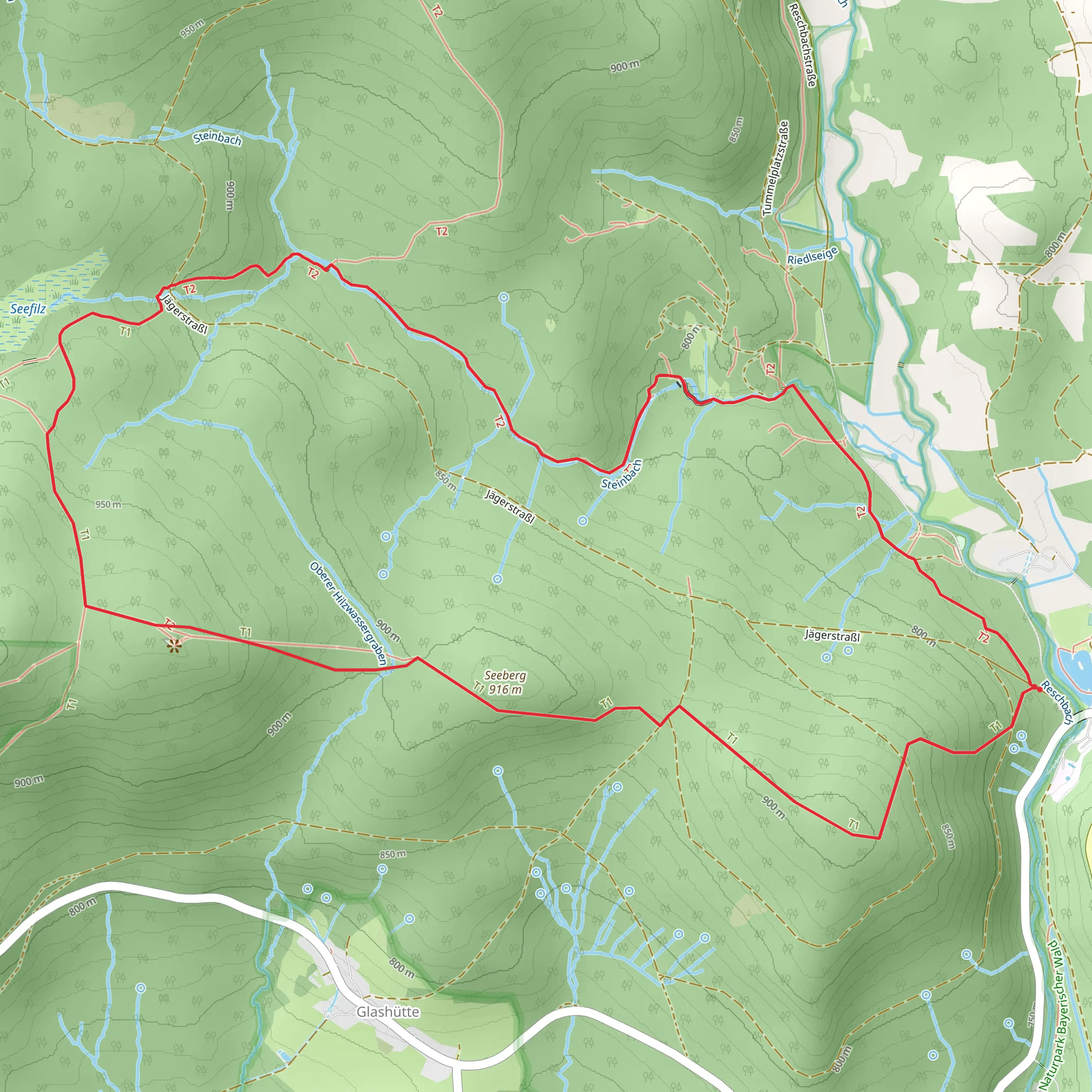
For navigation, it is highly recommended to use the HiiKER app, which provides detailed maps and real-time updates. This will ensure you stay on track and can fully enjoy the natural beauty and historical significance of the Eisvogel Loop.
Whether you're a seasoned hiker or someone looking to explore the natural and historical richness of the Freyung-Grafenau region, the Eisvogel Loop offers a rewarding experience.
What to expect?
Activity types
Comments and Reviews
User comments, reviews and discussions about the Eisvogel Loop, Germany.
4.57
average rating out of 5
7 rating(s)
