Download
3D Flyover
Add to list
More
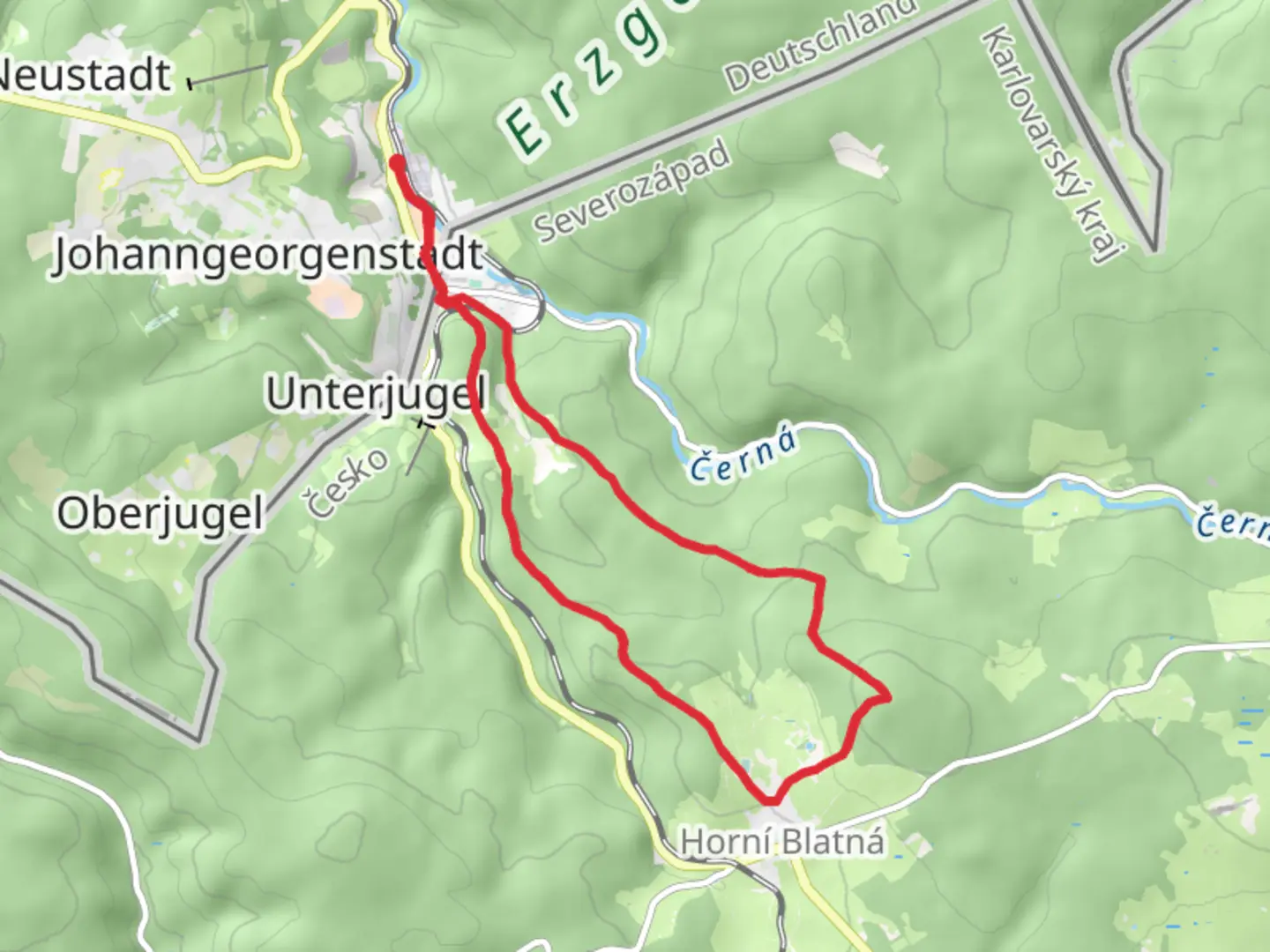
14.2 km
~3 hrs 34 min
434 m
Loop
“Embark on the Blatenský vrch Loop for 14 km of lush forests, historic towers, and panoramic mountain views.”
Starting near the charming village of Potůčky in the Erzgebirgskreis region of Germany, the Blatenský vrch Loop is a captivating 14 km (8.7 miles) trail with an elevation gain of approximately 400 meters (1,312 feet). This loop trail is rated as medium difficulty, making it suitable for moderately experienced hikers.
Getting There
To reach the trailhead, you can either drive or use public transportation. If driving, head towards Potůčky, where you can find parking near the village center. For those using public transport, take a train to the Potůčky railway station, which is conveniently located near the trailhead.
Trail Overview
The trail begins in Potůčky, a quaint village known for its picturesque landscapes and traditional German architecture. As you start your hike, you'll be greeted by lush forests and serene meadows. The initial part of the trail is relatively flat, allowing you to ease into the hike.
Significant Landmarks and Nature
Around the 3 km (1.9 miles) mark, you'll encounter the first significant landmark: the Blatenský vrch lookout tower. This historic tower offers panoramic views of the surrounding Erzgebirge Mountains. The tower itself dates back to the early 20th century and serves as a reminder of the region's rich history.
Continuing on, the trail ascends gradually, leading you through dense forests filled with a variety of flora and fauna. Keep an eye out for local wildlife such as deer, foxes, and a variety of bird species. The forested sections provide ample shade, making this part of the hike particularly enjoyable during warmer months.
Mid-Trail Highlights
At approximately 7 km (4.3 miles), you'll reach the highest point of the trail, Blatenský vrch, standing at an elevation of 1,043 meters (3,422 feet). Here, you can take a well-deserved break and soak in the breathtaking views. The area around Blatenský vrch is also known for its unique geological formations, including basalt columns that are a result of ancient volcanic activity.
Historical Significance
The Erzgebirgskreis region has a rich mining history, dating back to the 12th century. As you hike, you'll notice remnants of old mining operations, including abandoned shafts and equipment. These historical artifacts offer a glimpse into the region's past and its significance in the mining industry.
Navigation and Safety
For navigation, it's highly recommended to use the HiiKER app, which provides detailed maps and real-time updates. The trail is well-marked, but having a reliable navigation tool will ensure you stay on track.
Final Stretch
The descent begins around the 10 km (6.2 miles) mark, leading you back towards Potůčky. This section of the trail is less steep but can be rocky, so watch your footing. As you approach the village, you'll pass through open meadows, offering one last opportunity to enjoy the scenic beauty of the Erzgebirge Mountains.
By the time you complete the loop, you'll have experienced a diverse range of landscapes, historical landmarks, and natural beauty, making the Blatenský vrch Loop a truly memorable hike.

What to expect?
Activity types
Comments and Reviews
User comments, reviews and discussions about the Blatenský vrch Loop from Potůčky, Germany.
4.67
average rating out of 5
3 rating(s)