Download
3D Flyover
Add to list
More
13.2 km
~3 hrs 15 min
366 m
Loop
“Explore the Hoehlenweg and Erbstollenweg Loop: a scenic, historical 13 km hike ideal for moderate hikers.”
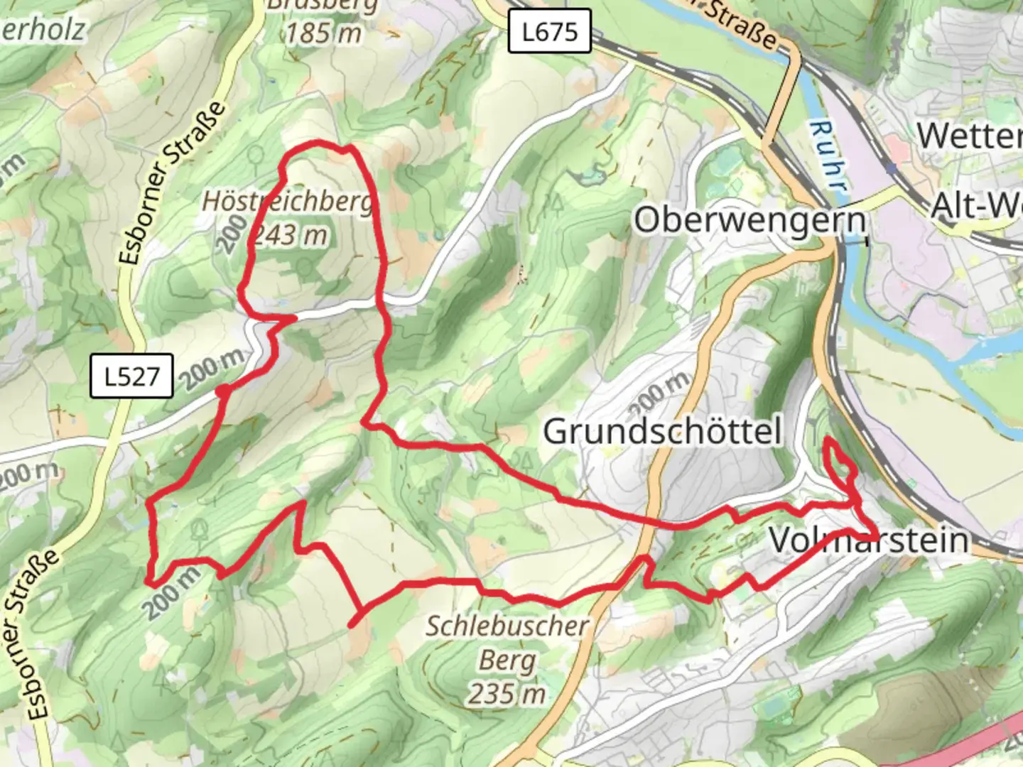
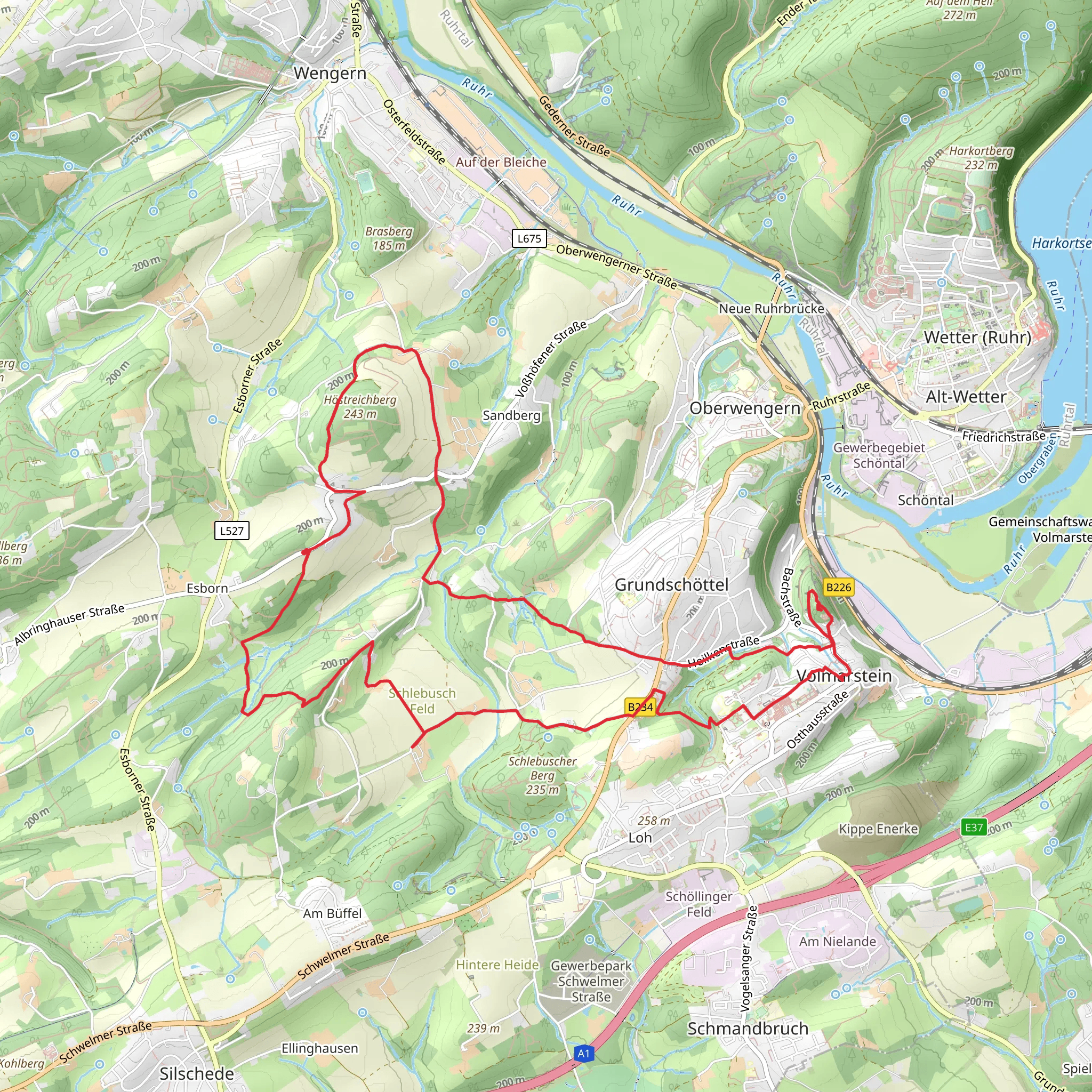
Starting near Ennepe-Ruhr-Kreis, Germany, the Hoehlenweg and Erbstollenweg Loop is a captivating 13 km (8 miles) trail with an elevation gain of approximately 300 meters (984 feet). This loop trail offers a medium difficulty rating, making it suitable for moderately experienced hikers.
Getting There
To reach the trailhead, you can either drive or use public transport. If driving, set your GPS to the nearest known address: Ennepe-Ruhr-Kreis, Germany. For those using public transport, take a train or bus to the nearest station in Ennepe-Ruhr-Kreis and then a short taxi ride or local bus to the trailhead.
Trail Overview
The trail begins with a gentle ascent, allowing you to ease into the hike. As you progress, you'll encounter a mix of forested paths and open meadows. The initial 3 km (1.9 miles) of the trail are relatively flat, making it a good warm-up for the more challenging sections ahead.
Historical Significance
One of the highlights of this trail is its historical significance. The region is known for its mining history, and you'll come across several old mining tunnels and shafts. The Erbstollenweg section of the trail is particularly notable for its historical mining sites. These tunnels, known as "Erbstollen," were used for draining water from the mines and are a testament to the area's industrial past.
Key Landmarks
Around the 5 km (3.1 miles) mark, you'll reach the first significant landmark: the entrance to one of the old mining tunnels. This is a great spot to take a break and explore the area. Remember to bring a flashlight if you plan to venture inside, as these tunnels can be quite dark.
Continuing on, you'll come across a scenic viewpoint at approximately 7 km (4.3 miles). This spot offers panoramic views of the surrounding countryside and is an excellent place for a picnic. The elevation gain to this point is around 150 meters (492 feet), so you'll have earned a rest.
Nature and Wildlife
The trail is rich in biodiversity. As you hike through the forested sections, keep an eye out for local wildlife such as deer, foxes, and various bird species. The meadows are often filled with wildflowers, especially in the spring and summer months, adding a splash of color to your hike.
Navigation
For navigation, it's highly recommended to use the HiiKER app. The trail is well-marked, but having a reliable navigation tool can help you stay on track and provide additional information about points of interest along the way.
Final Stretch
The last 3 km (1.9 miles) of the trail loop back towards the starting point. This section is mostly downhill, making for a pleasant and easy finish to your hike. You'll pass through more forested areas and cross a few small streams, adding to the trail's scenic beauty.
Preparation Tips
- Wear sturdy hiking boots, as some sections can be rocky and uneven.
- Bring plenty of water and snacks, especially if you plan to explore the mining tunnels or take extended breaks.
- Check the weather forecast before heading out, as the trail can become slippery in wet conditions.
- A flashlight is essential if you plan to explore the mining tunnels.
This trail offers a perfect blend of natural beauty and historical intrigue, making it a rewarding experience for any hiker.
What to expect?
Activity types
Comments and Reviews
User comments, reviews and discussions about the Hoehlenweg and Erbstollenweg Loop, Germany.
4.33
average rating out of 5
3 rating(s)
