Download
3D Flyover
Add to list
More
13.1 km
~3 hrs 14 min
370 m
Loop
“Explore the Bilsteiner Kopf via Wupperweg, a 13-km trail with stunning views, historical ruins, and diverse wildlife.”
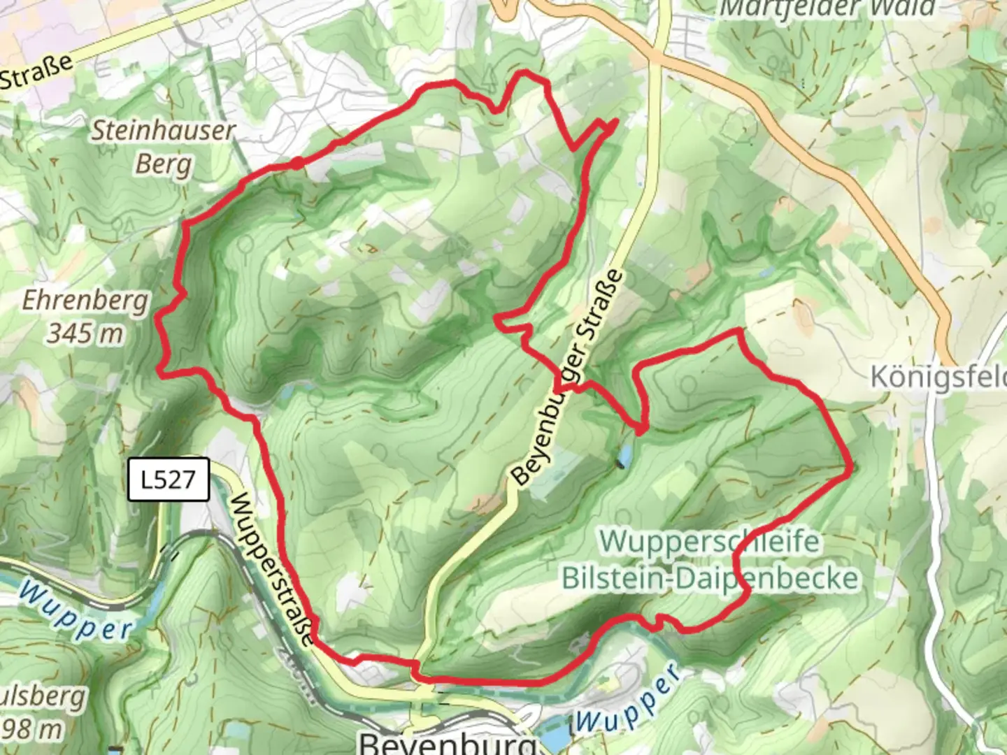
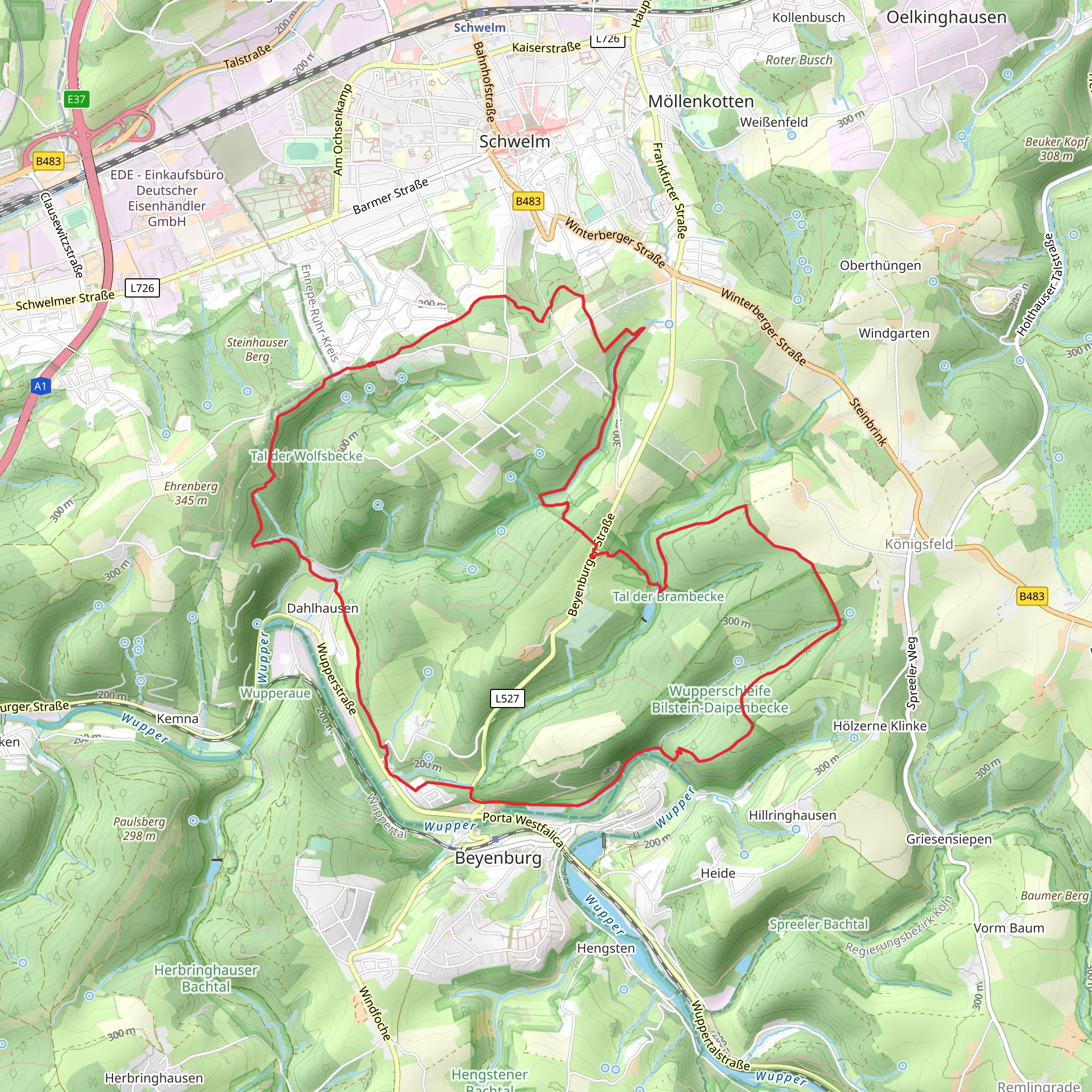
Starting near Ennepe-Ruhr-Kreis, Germany, the Bilsteiner Kopf via Wupperweg trail is a loop trail that spans approximately 13 kilometers (8 miles) with an elevation gain of around 300 meters (984 feet). This medium-difficulty hike offers a blend of natural beauty, historical landmarks, and diverse wildlife, making it a rewarding experience for hikers of various skill levels.
Getting There
To reach the trailhead, you can either drive or use public transport. If driving, set your GPS to Ennepe-Ruhr-Kreis, Germany. For those using public transport, the nearest significant landmark is the town of Schwelm. From Schwelm, you can take a local bus or taxi to the trailhead.
Trail Overview
The trail begins with a gentle ascent through a mixed forest, where you'll encounter a variety of tree species including oak, beech, and pine. The initial 2 kilometers (1.2 miles) are relatively easy, allowing you to acclimate to the terrain. As you continue, the trail becomes steeper, leading you to the first significant viewpoint at around the 4-kilometer (2.5-mile) mark. Here, you can take a moment to enjoy panoramic views of the Wupper River valley.
Historical Significance
Around the 5-kilometer (3.1-mile) point, you'll come across the remnants of an old watchtower, a relic from the medieval period. This area was historically significant as a lookout point to protect the region from invaders. Take some time to explore the ruins and imagine the history that unfolded here.
Flora and Fauna
As you proceed, the trail meanders through a series of meadows and small streams. This section is particularly rich in biodiversity. Keep an eye out for deer, foxes, and a variety of bird species. In the spring and summer months, the meadows are adorned with wildflowers, adding a splash of color to your hike.
Navigational Tips
The trail is well-marked, but it's always a good idea to have a reliable navigation tool. HiiKER is an excellent app for this purpose, providing detailed maps and real-time updates. Make sure to download the trail map before you start, as cell service can be spotty in some areas.
Key Landmarks
- Bilsteiner Kopf Summit: At approximately 7 kilometers (4.3 miles), you'll reach the summit of Bilsteiner Kopf. The elevation here is around 450 meters (1,476 feet) above sea level. The summit offers breathtaking views and is an ideal spot for a lunch break.
- Wupper River: As you descend, the trail runs parallel to the Wupper River for about 3 kilometers (1.9 miles). This section is relatively flat and provides a serene backdrop with the sound of flowing water accompanying your steps.
Final Stretch
The last 3 kilometers (1.9 miles) of the trail loop back towards the starting point. This section is mostly downhill, making for a pleasant and easy finish. You'll pass through another forested area before emerging back at the trailhead.
Practical Information
- Water and Snacks: There are no facilities along the trail, so bring enough water and snacks to sustain you for the entire hike.
- Footwear: Sturdy hiking boots are recommended due to the varied terrain.
- Weather: Check the weather forecast before you go, as conditions can change rapidly.
This trail offers a perfect blend of natural beauty, historical intrigue, and physical challenge, making it a must-visit for any hiking enthusiast.
What to expect?
Activity types
Comments and Reviews
User comments, reviews and discussions about the Bilsteiner Kopf via Wupperweg, Germany.
4.2
average rating out of 5
5 rating(s)
