Download
3D Flyover
Add to list
More
5.8 km
~1 hrs 12 min
31 m
Loop
“The Unterbacher See Loop via Neanderland Steig offers an accessible, scenic 6 km hike through diverse landscapes.”
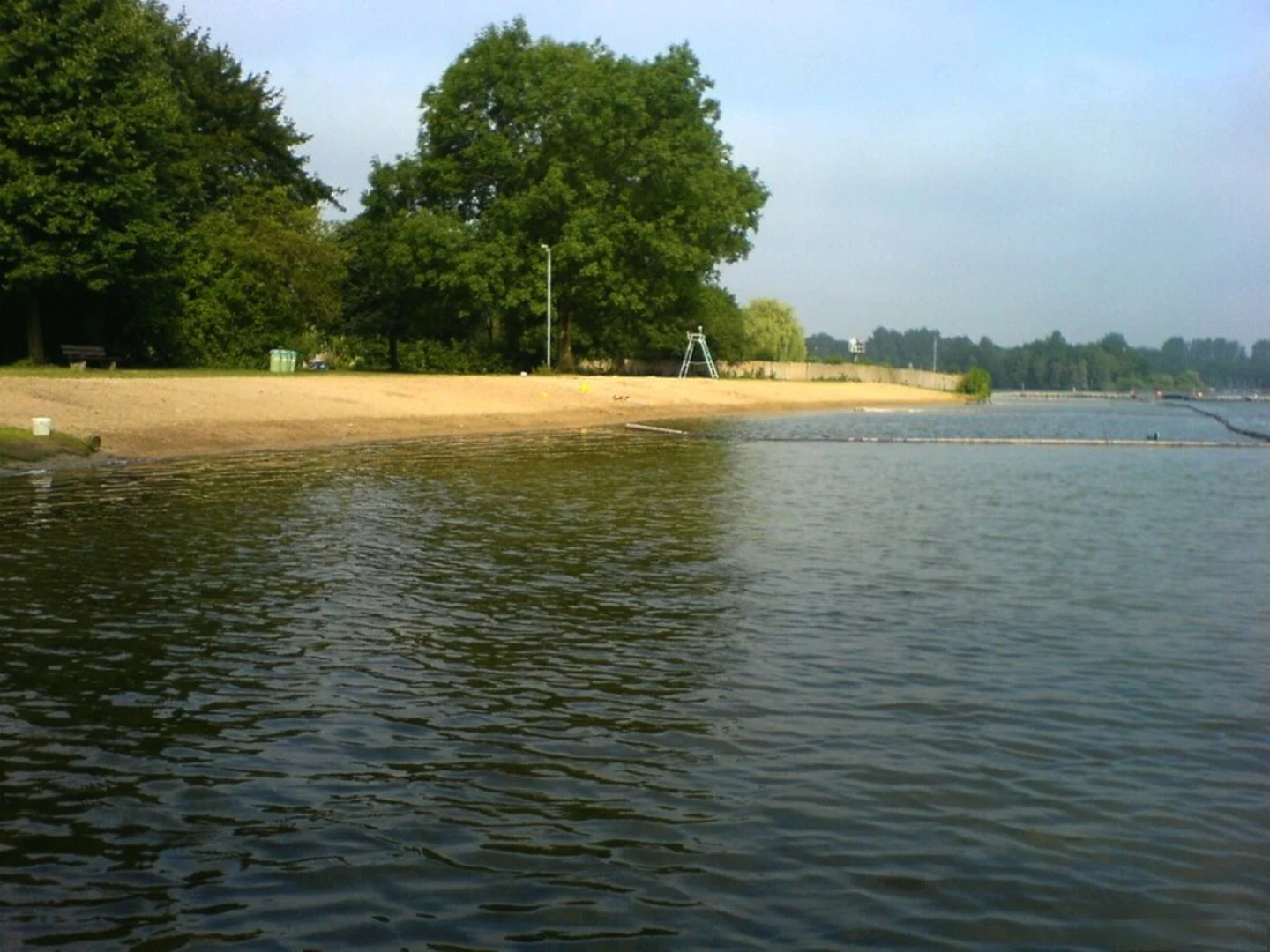
Starting near Düsseldorf, Germany, the Unterbacher See Loop via Neanderland Steig is a delightful 6 km (approximately 3.7 miles) loop trail with no significant elevation gain, making it accessible for a wide range of hikers. The trailhead is conveniently located near the Unterbacher See, a popular recreational area.
Getting There
To reach the trailhead, you can take public transport from Düsseldorf. The nearest significant landmark is the Unterbacher See, which is well-connected by local buses. If you're driving, there are parking facilities available near the lake. The address for navigation is Unterbacher See, 40627 Düsseldorf, Germany.
Trail Overview
The trail is estimated to be of medium difficulty, primarily due to its length rather than any challenging terrain. The loop offers a mix of scenic lake views, forested paths, and open meadows, providing a diverse hiking experience.
Key Landmarks and Points of Interest
- Unterbacher See: The trail starts and ends at this picturesque lake, which is a hub for various water activities and picnicking. The lake's serene waters and surrounding greenery make it a perfect spot for relaxation before or after your hike.
- Neanderland Steig: As you follow the Neanderland Steig, you'll traverse through lush forests and open fields. This long-distance trail is known for its well-marked paths and informative signposts, making navigation straightforward. Using the HiiKER app can further assist in ensuring you stay on track.
- Wildlife and Flora: The area around Unterbacher See is rich in biodiversity. Keep an eye out for local wildlife such as deer, foxes, and a variety of bird species. The flora is equally impressive, with a mix of deciduous and coniferous trees, wildflowers, and shrubs.
- Historical Significance: The region has a deep historical background, particularly related to the Neander Valley, which is not far from the trail. This valley is famous for the discovery of Neanderthal fossils, adding a layer of historical intrigue to your hike.
Trail Navigation and Safety
The trail is well-marked, but it's always a good idea to have a reliable navigation tool. The HiiKER app is recommended for its detailed maps and real-time tracking features. Since the trail is a loop, you'll return to your starting point without the need for complex navigation.
Practical Tips
- Footwear: Given the mixed terrain, sturdy hiking shoes are advisable.
- Weather: Check the weather forecast before heading out, as the trail can become muddy after rain.
- Supplies: Bring sufficient water and snacks, especially if you plan to take breaks and enjoy the scenery.
- Facilities: There are restrooms and picnic areas near Unterbacher See, making it convenient for families and groups.
This trail offers a balanced mix of natural beauty, historical context, and recreational opportunities, making it a rewarding hike for both locals and visitors.

What to expect?
Activity types
Comments and Reviews
User comments, reviews and discussions about the Unterbacher See Loop via Neanderland Steig, Germany.
4.43
average rating out of 5
7 rating(s)