
Download
3D Flyover
Add to list
More
12.1 km
~2 hrs 49 min
244 m
Loop
“The Rundwanderweg Monheim Loop blends scenic beauty, historical sites, and moderate hiking challenges in a 12 km adventure.”
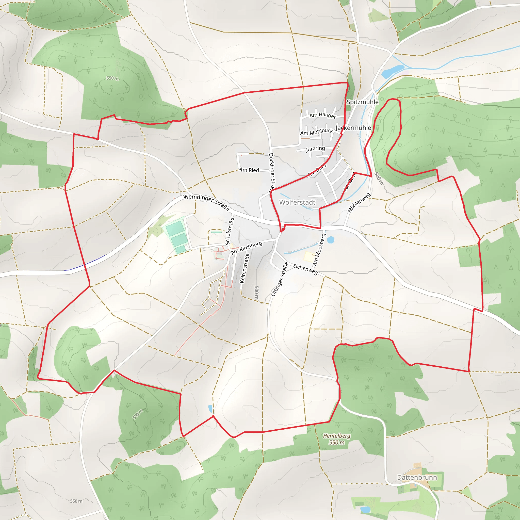
Starting near Donau-Ries, Germany, the Rundwanderweg Monheim Loop is a captivating 12 km (7.5 miles) trail with an elevation gain of approximately 200 meters (656 feet). This loop trail is rated medium in difficulty, making it suitable for moderately experienced hikers.
Getting There
To reach the trailhead, you can drive or use public transport. If driving, set your GPS to Monheim, a small town in the Donau-Ries district. There is ample parking available near the town center. For those using public transport, take a train to Donauwörth and then a bus to Monheim. The bus stop is conveniently located near the trailhead.
Trail Overview
The trail begins in the charming town of Monheim, known for its picturesque streets and historical buildings. As you start your hike, you'll pass through the town's central square, where you can admire the St. Walburga Church, a beautiful example of Gothic architecture.
Nature and Wildlife
As you leave the town, the trail meanders through lush forests and open meadows. Keep an eye out for local wildlife such as deer, foxes, and a variety of bird species. The forested sections are particularly serene, offering a cool respite during warmer months.
Significant Landmarks
Around the 4 km (2.5 miles) mark, you'll come across the Monheimer Alb, a limestone ridge that offers stunning panoramic views of the surrounding countryside. This is a great spot to take a break and enjoy the scenery. The elevation gain here is gradual, making it accessible for most hikers.
Historical Significance
The region is steeped in history, with several points of interest along the trail. One notable landmark is the ruins of a medieval castle, located approximately 6 km (3.7 miles) into the hike. The castle dates back to the 12th century and offers a glimpse into the area's feudal past. Information plaques provide historical context, making it a fascinating stop.
Navigation
For navigation, it's highly recommended to use the HiiKER app, which provides detailed maps and real-time updates. The trail is well-marked, but having a reliable navigation tool can enhance your hiking experience.
Final Stretch
As you loop back towards Monheim, the trail descends gently through more meadows and farmland. The final 2 km (1.2 miles) bring you back into the town, where you can explore local cafes and shops or simply relax and reflect on your hike.
This trail offers a perfect blend of natural beauty, historical landmarks, and moderate physical challenge, making it a rewarding experience for any hiker.
Comments and Reviews
User comments, reviews and discussions about the Rundwanderweg Monheim Loop, Germany.
average rating out of 5
0 rating(s)
