Download
3D Flyover
Add to list
More
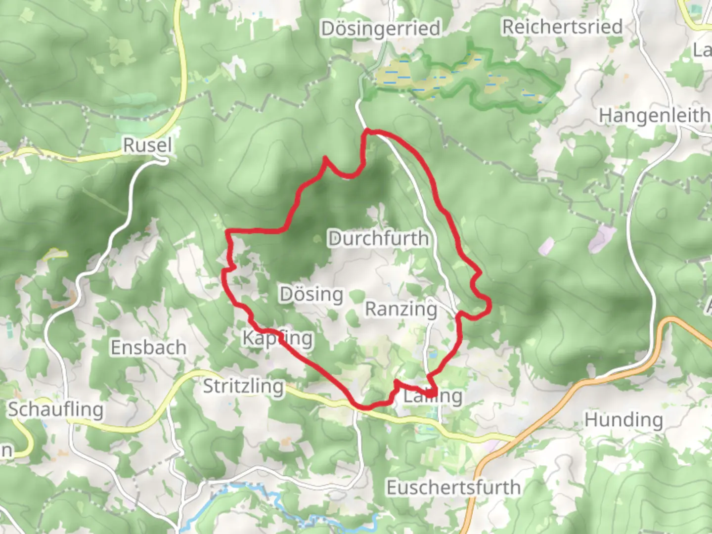
13.9 km
~3 hrs 39 min
524 m
Loop
“Experience the Hochwaldweg trail: a 14 km journey through Bavarian forests, historical ruins, and stunning vistas.”
Starting near Deggendorf, Germany, the Hochwaldweg trail offers a delightful 14 km (8.7 miles) loop with an elevation gain of approximately 500 meters (1,640 feet). This medium-difficulty trail is perfect for those looking to immerse themselves in the natural beauty and historical richness of the Bavarian Forest.
Getting There
To reach the trailhead, you can either drive or use public transport. If driving, head towards Deggendorf and look for parking options near the town center. For those using public transport, Deggendorf is well-connected by train and bus services. From the Deggendorf train station, local buses can take you closer to the trailhead, or you can opt for a short taxi ride.
Trail Navigation
For navigation, it's highly recommended to use the HiiKER app, which provides detailed maps and real-time updates to ensure you stay on track.
Trail Highlights
As you embark on the Hochwaldweg, you'll first encounter a gentle ascent through dense forests. The initial 3 km (1.9 miles) will take you through a mix of deciduous and coniferous trees, offering a serene and shaded environment. Keep an eye out for local wildlife such as deer and various bird species.
Historical Significance
Around the 5 km (3.1 miles) mark, you'll come across the ruins of an old watchtower, a remnant from the medieval period when this area was part of a strategic defense line. This spot offers a fantastic opportunity to take a break and soak in some history while enjoying panoramic views of the surrounding landscape.
Mid-Trail Features
Continuing on, the trail will lead you to a picturesque meadow around the 7 km (4.3 miles) point. This is an ideal spot for a picnic, with ample space to relax and enjoy the natural beauty. The meadow is often dotted with wildflowers in the spring and summer months, adding a splash of color to your hike.
Elevation Gain
The next segment involves a more strenuous climb, gaining about 200 meters (656 feet) in elevation over the next 2 km (1.2 miles). This section can be challenging, but the effort is rewarded with stunning views from the top of the ridge. On clear days, you can see as far as the Alps to the south.
Flora and Fauna
Descending from the ridge, the trail meanders through a mixed forest where you might spot foxes and wild boars. The diversity of plant life is also remarkable, with various species of ferns, mosses, and wildflowers lining the path.
Final Stretch
As you approach the final 2 km (1.2 miles) of the loop, the trail becomes more level and easier to navigate. This section takes you through a charming village where you can see traditional Bavarian architecture and perhaps stop for a refreshing drink at a local café.
Practical Tips
- Wear sturdy hiking boots, as some sections can be rocky and uneven.
- Bring plenty of water and snacks, especially if you plan to picnic in the meadow.
- Check the weather forecast before you go, as conditions can change rapidly in the forested areas.
- Use the HiiKER app for real-time navigation and updates.
The Hochwaldweg trail offers a perfect blend of natural beauty, historical intrigue, and moderate physical challenge, making it a must-visit for any hiking enthusiast exploring the Bavarian Forest.

Comments and Reviews
User comments, reviews and discussions about the Hochwaldweg, Germany.
4.5
average rating out of 5
2 rating(s)