Download
3D Flyover
Add to list
More
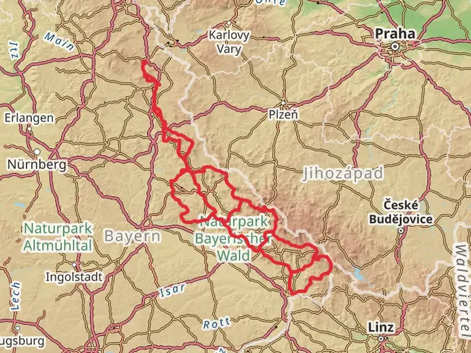
84.7 km
~4 days
2244 m
Multi-Day
“Embark on the Gunthersteig, an 85km Bavarian journey through history, nature's splendor, and challenging ascents.”
The Gunthersteig is a captivating trail that stretches approximately 85 kilometers (about 53 miles) and features an elevation gain of around 2200 meters (approximately 7218 feet), offering hikers a medium difficulty level experience. Starting near Deggendorf, a town in Bavaria, Germany, the trail is a point-to-point journey that takes you through the picturesque landscapes of the Bavarian Forest.
Getting to the Trailhead
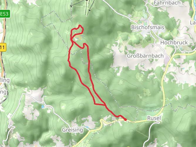
To reach the starting point of the Gunthersteig, hikers can either drive or use public transportation. If driving, the trailhead is accessible via Ruselstraße, which is a short distance from Deggendorf. For those opting for public transport, buses from Deggendorf's main station frequently run towards Rusel, where you can disembark near the trailhead.
Navigating the Trail
Hikers can rely on the HiiKER app for detailed maps and navigation assistance throughout the Gunthersteig. The trail is well-marked, but having a digital tool can help ensure you stay on the right path and can also provide information on nearby amenities and points of interest.
Trail Highlights and Landmarks
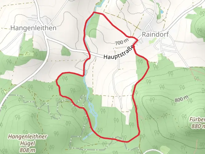
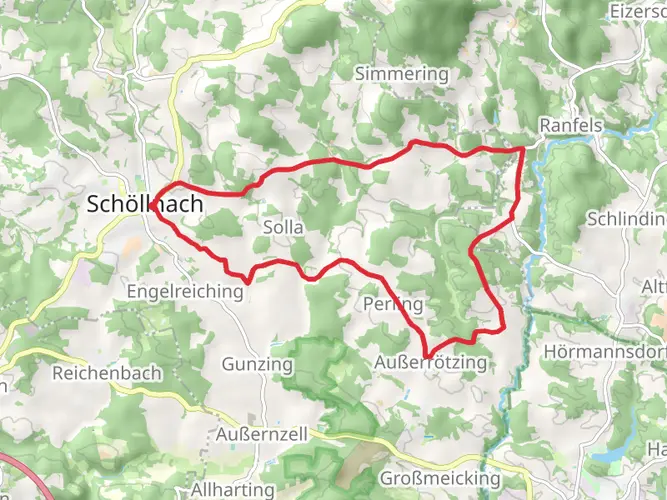
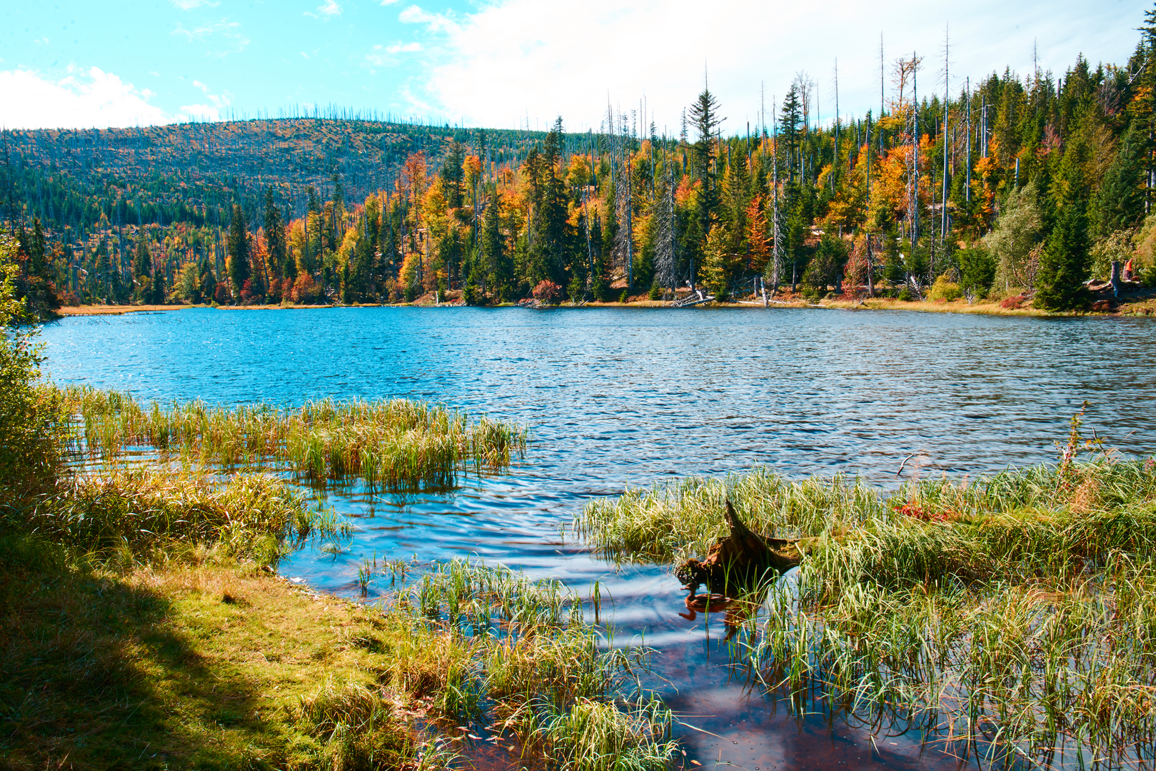
As you embark on the Gunthersteig, you'll traverse dense forests, serene river valleys, and open meadows, each offering its unique beauty. The trail is rich in biodiversity, with opportunities to spot local wildlife such as deer, foxes, and a variety of bird species. The flora along the trail is equally diverse, with a mix of deciduous and coniferous trees, as well as a colorful array of wildflowers in the spring and summer months.
One of the significant landmarks on the Gunthersteig is the Teufelstisch (Devil's Table), a striking rock formation that is a popular subject for photographers and a great spot for a rest with a view. As you continue, the trail leads to the summit of the Großer Arber, the highest peak in the Bavarian Forest, standing at 1,456 meters (4,777 feet). The panoramic views from the top are a rewarding experience for the climb.
Historical Significance
The region through which the Gunthersteig passes is steeped in history. The trail is named after Saint Gunther, a hermit who lived in the area in the 11th century. As you hike, you'll encounter various historical sites, including chapels, old glassworks, and remnants of the region's mining past. The cultural heritage of the Bavarian Forest is also showcased in the small villages along the route, where traditional customs and crafts are still practiced.
Preparation and Planning
Before setting out on the Gunthersteig, ensure you have appropriate gear for the terrain and weather conditions, which can vary greatly. Waterproof hiking boots, layered clothing, and a rain jacket are recommended. Also, carry enough water and food for the journey, as there are limited places to resupply along the trail. It's advisable to plan for overnight stays in the mountain huts or guesthouses in the villages if you're not completing the trail in a single push.
Remember, the Gunthersteig offers a moderate challenge, so it's suitable for hikers with a reasonable level of fitness and some hiking experience. The trail can be completed in sections or as a multi-day hike, depending on your preference and pace. Always check the weather forecast before you start your hike and be prepared for changes in weather conditions, especially in the higher elevations.

Frequently asked questions
How many stages is the Gunthersteig usually split into?
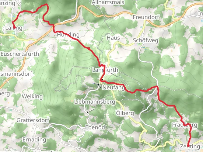
The Gunthersteig is 84.72 km long, so most hikers treat it as a multi-day route of about five stages. The official route is commonly broken into segments including Niederalteich to Lalling, Lalling to Rinchnach, and Rinchnach to Zwiesel, which fits the trail’s medium difficulty and 2,244 m of total ascent.
Where does the Gunthersteig pass through Lalling?
Lalling is one of the key settlements on the Gunthersteig and a practical overnight stop on the western half of the route. The trail climbs out of Lalling via Am Kirchfeld toward Panholling, then continues through open farmland and forest with broad views toward peaks including Lusen, Rachel, Falkenstein, and Arber.
Does the Gunthersteig go through Zwiesel?
Yes. The Gunthersteig passes through Zwiesel Stadtplatz and then leaves town by the church and cemetery before climbing through meadows toward Lindberg. Zwiesel is one of the main service towns on the route, with shops and lodging that make it a useful resupply or overnight point.
Where can you stay overnight on the Gunthersteig?
Overnight stays on the Gunthersteig are typically arranged in trail towns rather than wild camps. Common lodging bases along the route include Lalling, Rinchnach, Lindberg, and Zwiesel, which are all listed among the places with food or accommodation options connected to the trail corridor.
Where is the best place to start the Gunthersteig near Deggendorf?
A common access point near Deggendorf is the Rusel area above town, reached by Ruselstraße or the St 2135/Ruselbergstraße corridor. The Ruselhaus and Ruselabsatz area are established hiking access points with parking, and bus connections from Deggendorf toward Rusel make public transport possible for the western approach.
Is the Gunthersteig a hard hike?
The Gunthersteig is generally a medium-difficulty long-distance hike. Over 84.72 km it gains 2,244 m, so it is not especially technical, but it does require solid day-after-day fitness for repeated climbs through the Bavarian Forest between the Danube plain and the higher woodland sections near Zwiesel and Lindberg.
Comments and Reviews
User comments, reviews and discussions about the Gunthersteig, Germany.
4.2
average rating out of 5
5 rating(s)