Download
3D Flyover
Add to list
More
7.0 km
~1 hrs 54 min
314 m
Loop
“Embark on a 7 km hike near Darmstadt-Dieburg, blending natural splendor with rich historical landmarks.”
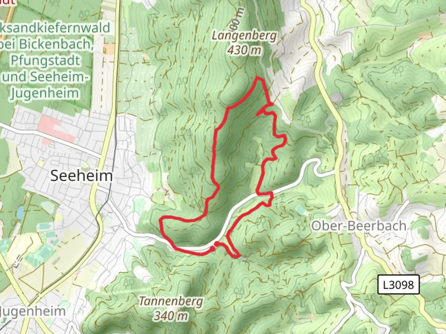
Starting your adventure near Darmstadt-Dieburg, Germany, this 7 km (4.35 miles) loop trail offers a delightful mix of natural beauty and historical intrigue. With an elevation gain of approximately 300 meters (984 feet), the trail is rated as medium difficulty, making it suitable for moderately experienced hikers.
Getting There
To reach the trailhead, you can either drive or use public transport. If driving, set your GPS to the nearest known address: Darmstadt-Dieburg, Germany. For those using public transport, take a train to Darmstadt Hauptbahnhof and then a local bus to the trailhead area. The bus routes are well-connected and frequent, making it convenient for hikers.
Trail Overview
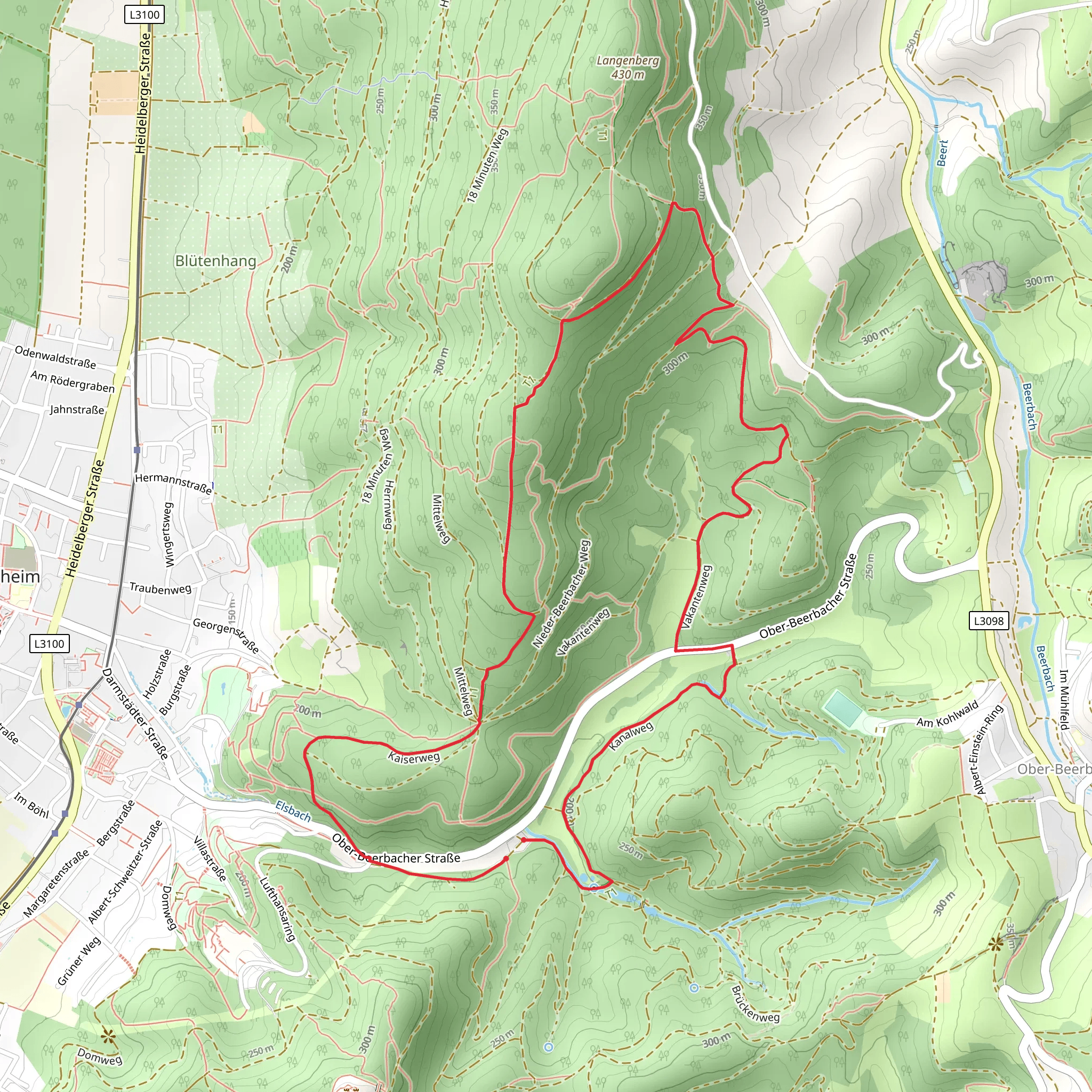
The trail begins near the picturesque Maerchenteich, a small, serene pond that sets a tranquil tone for your hike. As you start, you'll follow the Alemannwnweg, a path that meanders through dense forests and open meadows. The first kilometer (0.62 miles) is relatively flat, allowing you to ease into the hike while enjoying the lush greenery and the occasional chirping of birds.
Significant Landmarks
Around the 2 km (1.24 miles) mark, you'll encounter the Lufthansa Wanderweg. This section of the trail is particularly interesting as it passes through areas rich in aviation history. Look out for informational plaques that provide insights into the region's connection with Lufthansa and its historical significance.
Elevation Gain
As you continue, the trail begins to ascend more steeply. The next 2 km (1.24 miles) will see you gaining most of the 300 meters (984 feet) in elevation. This part of the trail can be challenging, with rocky paths and occasional steep inclines. Make sure to wear sturdy hiking boots and bring trekking poles if you have them.
Flora and Fauna
The trail is a haven for nature enthusiasts. You'll pass through sections of dense forest where oak, beech, and pine trees dominate the landscape. Keep an eye out for local wildlife, including deer, foxes, and a variety of bird species. The forest floor is often carpeted with wildflowers in the spring and summer, adding a splash of color to your hike.
Navigation
For navigation, it's highly recommended to use the HiiKER app. The trail is well-marked, but having a reliable navigation tool can help you stay on track, especially in the more remote sections.
Historical Significance
The region around Darmstadt-Dieburg has a rich history dating back to the Roman era. As you hike, you'll come across remnants of ancient settlements and old stone markers that tell the story of the area's past. The Alemannwnweg itself is named after the Alemanni, a group of Germanic tribes that once inhabited the region.
Final Stretch
The last 2 km (1.24 miles) of the trail are a gentle descent back towards Maerchenteich. This section offers stunning views of the surrounding countryside, making it a perfect spot for some final photographs. As you approach the end of the loop, take a moment to relax by the pond and reflect on the diverse landscapes and historical richness you've experienced.
This trail offers a balanced mix of natural beauty, moderate physical challenge, and historical intrigue, making it a rewarding hike for those looking to explore the Darmstadt-Dieburg region.
What to expect?
Activity types
Comments and Reviews
User comments, reviews and discussions about the Maerchenteich via Alemannwnweg and Lufthansa Wanderweg, Germany.
5.0
average rating out of 5
6 rating(s)
