Download
Preview
Add to list
More
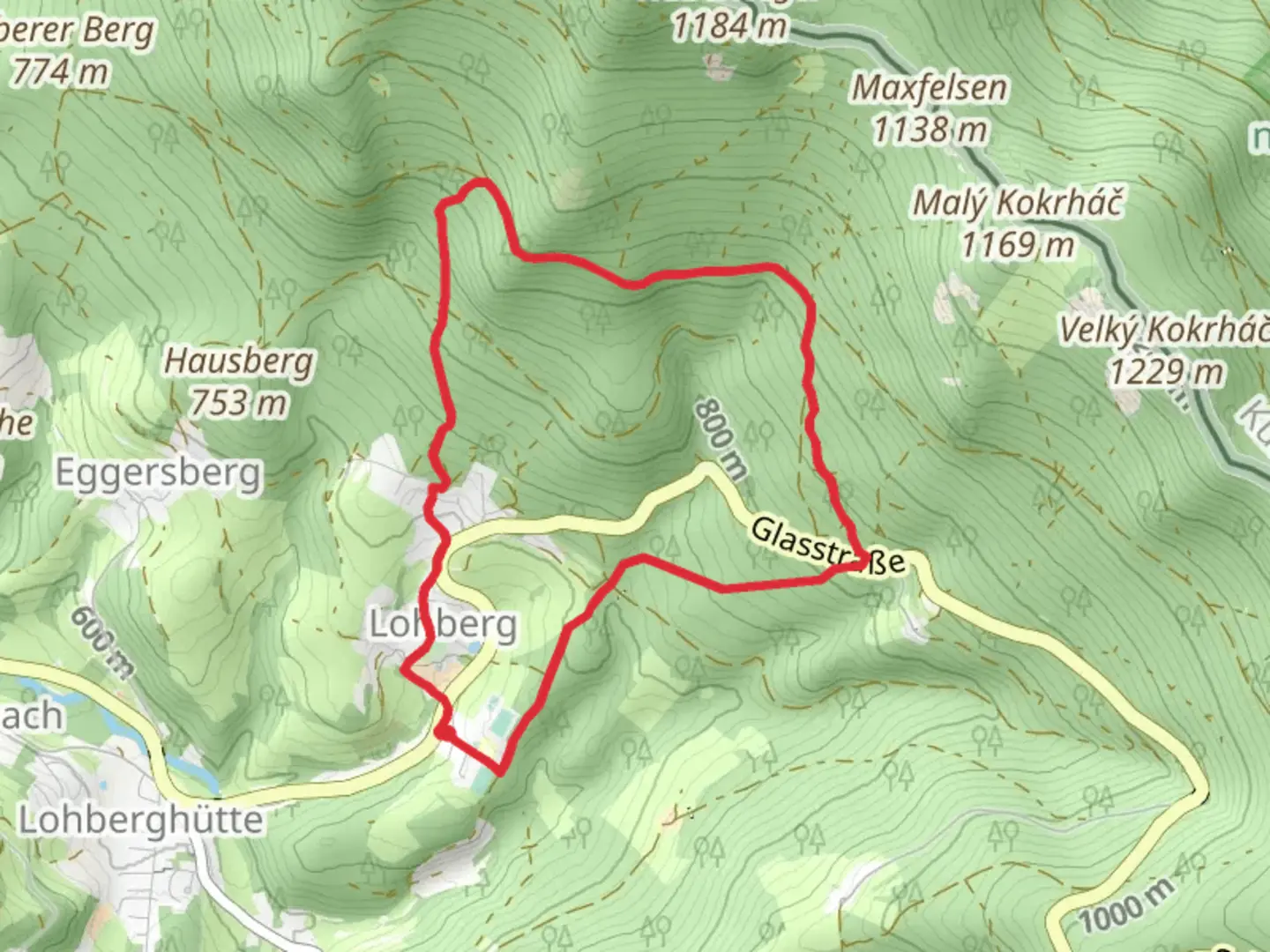
7.6 km
~2 hrs 1 min
298 m
Loop
“Experience the Osserhochstrasse Loop: an 8 km trail blending natural beauty, history, and moderate challenge.”
Starting near the picturesque town of Cham, Germany, the Osserhochstrasse Loop is an 8 km (approximately 5 miles) trail with an elevation gain of around 200 meters (656 feet). This loop trail is rated as medium difficulty, making it suitable for moderately experienced hikers.
Getting There
To reach the trailhead, you can either drive or use public transport. If driving, head towards Cham and look for parking near the town center or designated trailhead parking areas. For those using public transport, Cham is well-connected by train and bus services. The nearest train station is Cham (Oberpfalz) Bahnhof, from where you can take a local bus or taxi to the trailhead.
Trail Overview
The trail begins with a gentle ascent through lush forests, offering a serene start to your hike. As you progress, the path becomes steeper, leading you through a mix of deciduous and coniferous trees. Keep an eye out for local wildlife such as deer, foxes, and a variety of bird species.
Key Landmarks and Points of Interest
- Osser Peak: Approximately 4 km (2.5 miles) into the hike, you'll reach the Osser Peak, which stands at an elevation of 1,293 meters (4,242 feet). This is the highest point on the trail and offers panoramic views of the surrounding Bavarian Forest and the Bohemian Forest in the Czech Republic.
- Historical Significance: The region around Cham has a rich history dating back to the Roman era. While hiking, you may come across remnants of ancient Roman roads and medieval fortifications. The Osser Peak itself has historical significance, having been a strategic lookout point during various historical conflicts.
- Flora and Fauna: The trail is abundant with diverse plant life, including wildflowers, ferns, and mosses. In spring and summer, the forest floor is carpeted with vibrant blooms, making it a photographer's paradise.
Navigation and Safety
For navigation, it is highly recommended to use the HiiKER app, which provides detailed maps and real-time updates. The trail is well-marked, but having a reliable navigation tool ensures you stay on track.
Final Stretch
The descent from Osser Peak is gradual, taking you through more dense forest areas and eventually leading you back to the starting point near Cham. This section of the trail is less strenuous, allowing you to enjoy the natural beauty and perhaps spot more wildlife.
Practical Tips
- Footwear: Sturdy hiking boots are recommended due to the uneven terrain and potential for muddy sections, especially after rain.
- Weather: Check the weather forecast before heading out. The trail can be slippery in wet conditions, and visibility may be reduced in foggy weather.
- Supplies: Carry enough water and snacks, as there are no facilities along the trail. A small first-aid kit is also advisable.
- Respect Nature: Follow Leave No Trace principles to keep the trail clean and preserve its natural beauty for future hikers.
This loop trail offers a perfect blend of natural beauty, historical intrigue, and moderate physical challenge, making it a rewarding experience for those who venture onto it.

Comments and Reviews
User comments, reviews and discussions about the Osserhochstrasse Loop, Germany.
4.5
average rating out of 5
2 rating(s)