Download
3D Flyover
Add to list
More
9.8 km
~2 hrs 1 min
37 m
Loop
“Explore the tranquil floodplains of the Aller River on a gentle, wildlife-rich hike near Celle.”
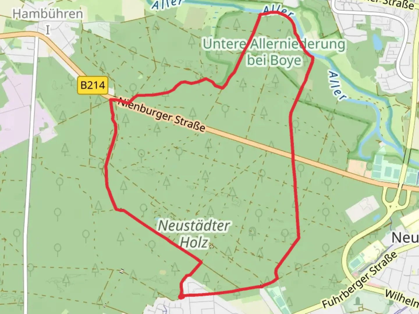
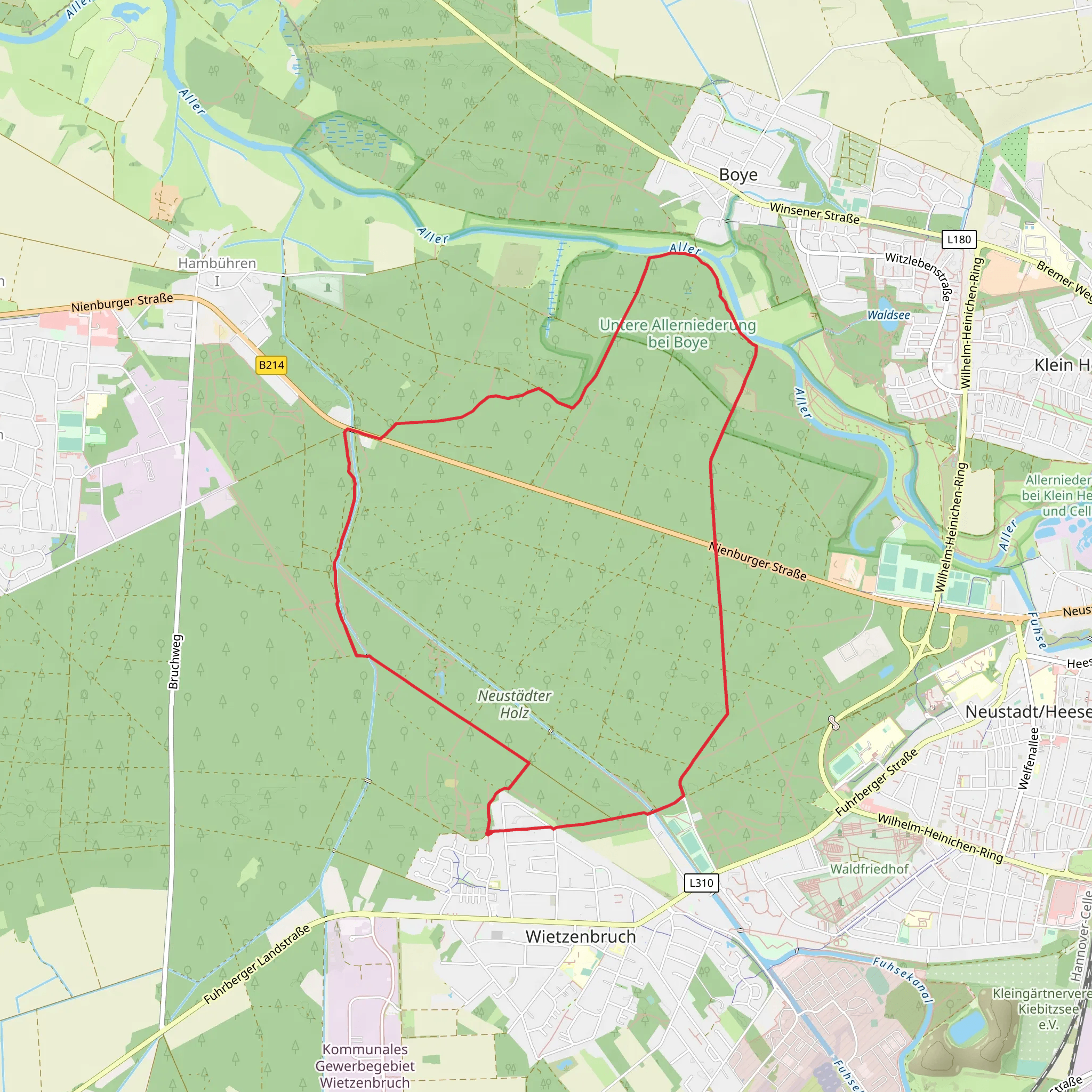
Nestled near the charming town of Celle in Lower Saxony, Germany, the Untere Allerniederung bei Boye Loop offers a serene hiking experience through the lush floodplains of the Aller River. This easy, 10-kilometer (approximately 6.2 miles) loop trail is perfect for hikers of all levels, providing a gentle walk with virtually no elevation gain, making it accessible for families and those seeking a leisurely day outdoors.
Getting There
The trailhead is conveniently located near Celle, a town rich in history and culture. If you're traveling by car, Celle is easily accessible via the A7 and B3 highways. For those using public transport, Celle is well-connected by train, with regular services from major cities like Hanover. From the Celle train station, local buses or a short taxi ride can take you to the trailhead.
Trail Highlights
As you embark on the Untere Allerniederung bei Boye Loop, you'll find yourself immersed in a landscape characterized by its tranquil floodplains and diverse ecosystems. The trail meanders through a mosaic of meadows, wetlands, and woodlands, offering a peaceful escape into nature.
Flora and Fauna
The floodplains of the Aller River are a haven for wildlife enthusiasts. Keep an eye out for a variety of bird species, including herons and kingfishers, which are often seen along the riverbanks. The area is also home to deer and other small mammals, making it a delightful spot for wildlife observation. The rich plant life includes vibrant wildflowers in the spring and summer, adding splashes of color to the verdant landscape.
Historical Significance
Celle and its surroundings boast a rich history, with the town itself dating back to the 13th century. While the trail primarily focuses on natural beauty, the proximity to Celle allows hikers to explore its historical sites, such as the Celle Castle and the picturesque old town with its half-timbered houses. These landmarks offer a glimpse into the region's past and are worth a visit before or after your hike.
Navigation and Safety
The Untere Allerniederung bei Boye Loop is well-marked, but it's always wise to have a reliable navigation tool. The HiiKER app is an excellent resource for ensuring you stay on track and can provide additional information about the trail. Given the easy nature of the trail, standard hiking gear is sufficient, but waterproof footwear is recommended, especially after rain, as parts of the trail can become muddy.
Practical Tips
The loop's flat terrain and short distance make it ideal for a half-day excursion. There are no significant elevation changes, so it's a comfortable walk for most hikers. Pack a picnic to enjoy by the river, and don't forget your binoculars for birdwatching. The trail is open year-round, but spring and autumn offer particularly pleasant weather and vibrant natural displays.
Whether you're a local or a visitor to the Celle area, the Untere Allerniederung bei Boye Loop provides a delightful opportunity to connect with nature and explore the serene floodplains of the Aller River.
Comments and Reviews
User comments, reviews and discussions about the Untere Allerniederung bei Boye Loop, Germany.
average rating out of 5
0 rating(s)
