Download
3D Flyover
Add to list
More
6.6 km
~1 hrs 28 min
88 m
Loop
“Explore the scenic, flat 7 km Hasselteich trail near Droyßig Castle, perfect for leisurely hikes and historical insights.”
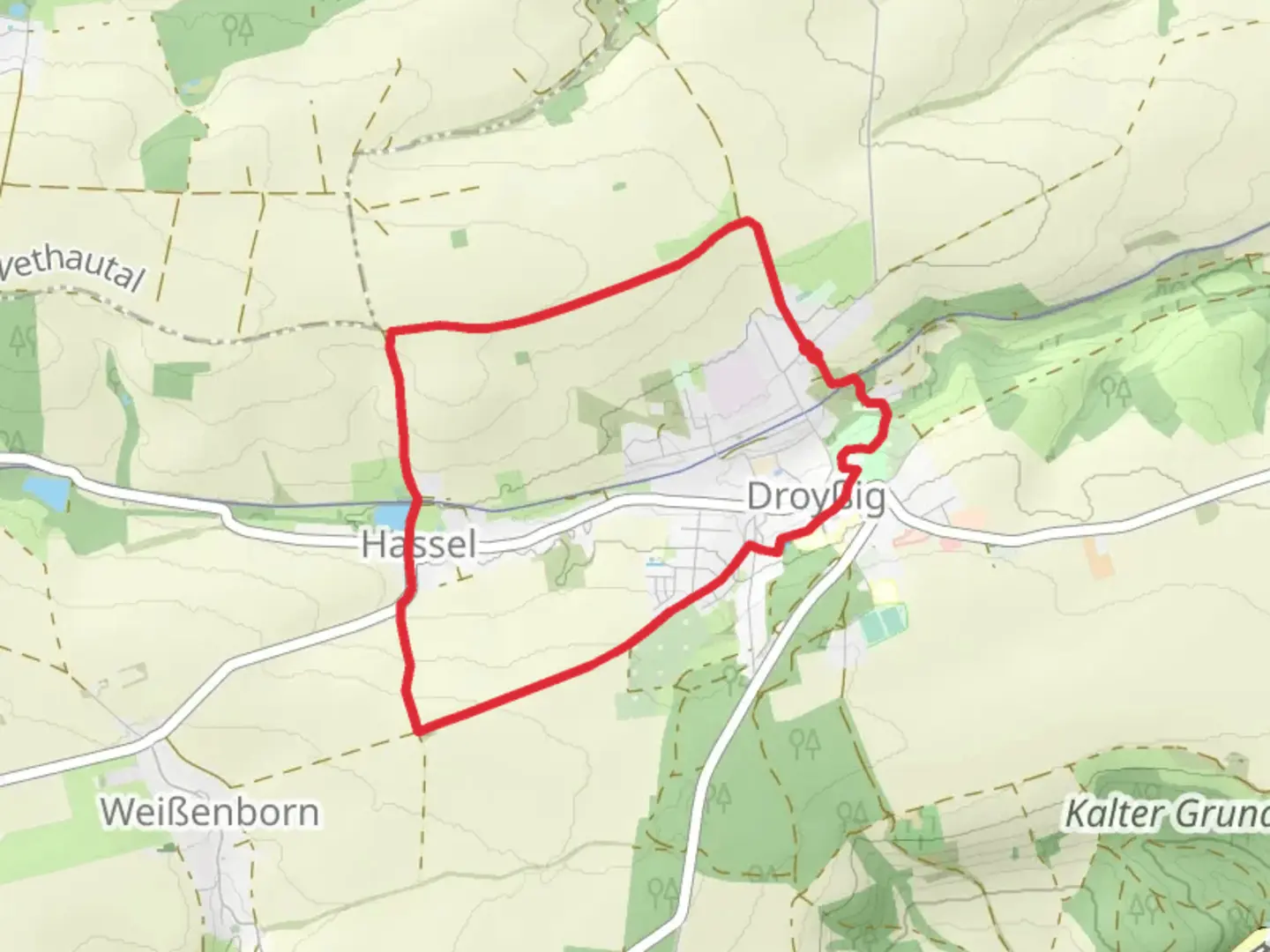
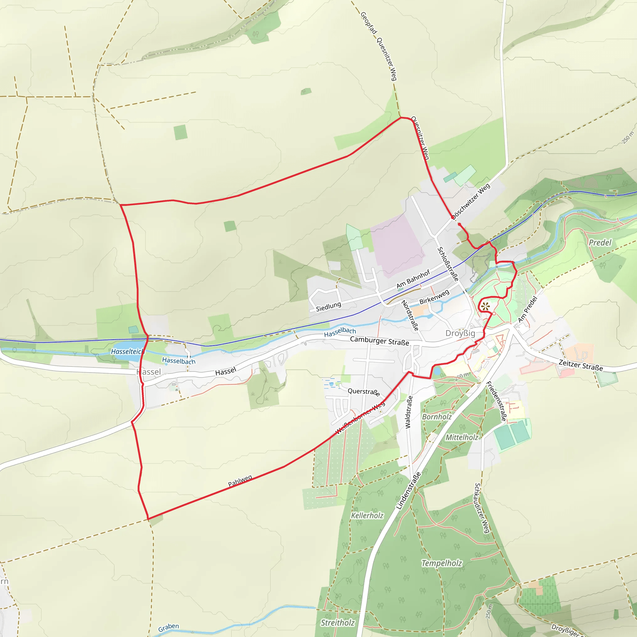
Starting near Burgenlandkreis, Germany, the Hasselteich via Rundweg Hassel Droyssig trail is a delightful 7 km (approximately 4.35 miles) loop with no significant elevation gain, making it accessible for hikers of varying skill levels. The trailhead is conveniently located near the town of Droyßig, which can be reached by car or public transport. If you're driving, you can park near the Droyßig Castle, a notable landmark in the area. For those using public transport, the nearest train station is Zeitz, from where you can take a local bus to Droyßig.
Trail Navigation and Terrain
The trail is well-marked and can be navigated easily using the HiiKER app, which provides detailed maps and real-time GPS tracking. The terrain is mostly flat, with well-maintained paths that wind through a mix of forested areas and open fields. Given the lack of elevation gain, the trail is suitable for families and those looking for a leisurely hike.
Points of Interest
Droyßig Castle
Starting your hike near Droyßig Castle, you can take a moment to explore this historical site. The castle dates back to the 12th century and has been well-preserved, offering a glimpse into the region's medieval past. The castle grounds are open to the public and provide a picturesque backdrop for the beginning of your hike.
Hasselteich Pond
About 2 km (1.24 miles) into the hike, you'll come across Hasselteich Pond. This serene body of water is a great spot for a short break. The pond is surrounded by lush greenery and is home to various species of birds and small wildlife. It's an excellent location for bird-watching, so bringing a pair of binoculars could enhance your experience.
Flora and Fauna
The trail meanders through mixed woodlands, where you can expect to see a variety of trees, including oak, beech, and pine. In the spring and summer months, the forest floor is often carpeted with wildflowers, adding a splash of color to your hike. Wildlife is abundant, with deer, foxes, and numerous bird species frequently spotted along the trail.
Historical Significance
The region around Burgenlandkreis has a rich history, with evidence of human settlement dating back to the Bronze Age. The trail itself passes through areas that have been inhabited for centuries, and you may come across old stone markers and remnants of ancient structures. These historical elements add an extra layer of interest to your hike, making it not just a physical journey but also a walk through time.
Practical Information
- Distance: 7 km (4.35 miles)
- Elevation Gain: 0 meters (0 feet)
- Difficulty: Medium
- Trail Type: Loop
- Starting Point: Near Droyßig Castle, Droyßig, Germany
To ensure a smooth hike, it's advisable to carry a map or use the HiiKER app for navigation. The trail is well-marked, but having a digital guide can provide additional peace of mind. Wear comfortable hiking shoes, bring plenty of water, and pack a light snack or picnic to enjoy at one of the scenic spots along the way.
Comments and Reviews
User comments, reviews and discussions about the Hasselteich via Rundweg Hassel Droyssig, Germany.
4.5
average rating out of 5
2 rating(s)
