Download
3D Preview
Add to list
More
11.1 km
~2 hrs 55 min
426 m
Loop
“Explore the enchanting Mathisleweiher loop, where Black Forest beauty meets historical charm and folklore magic.”
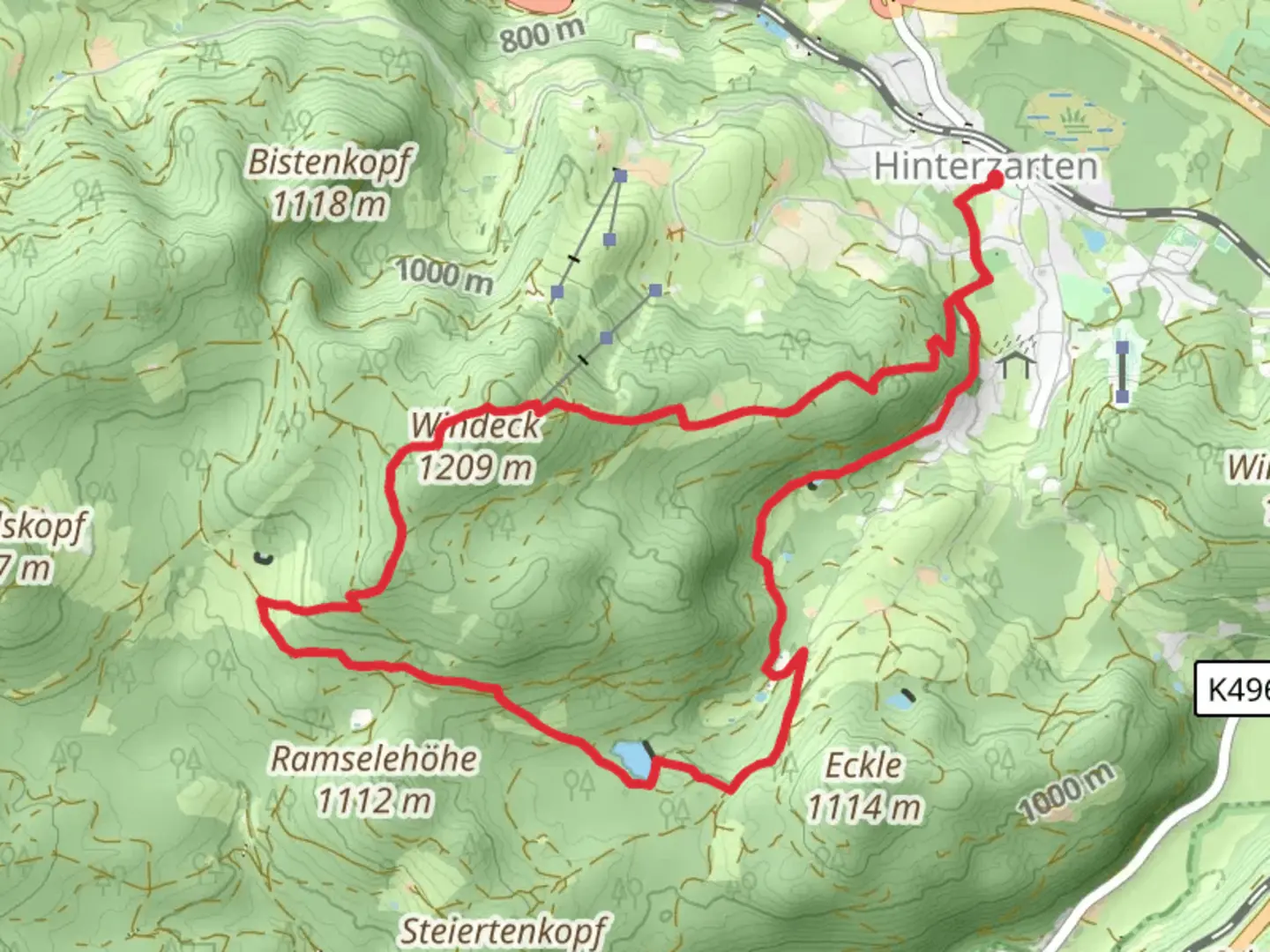
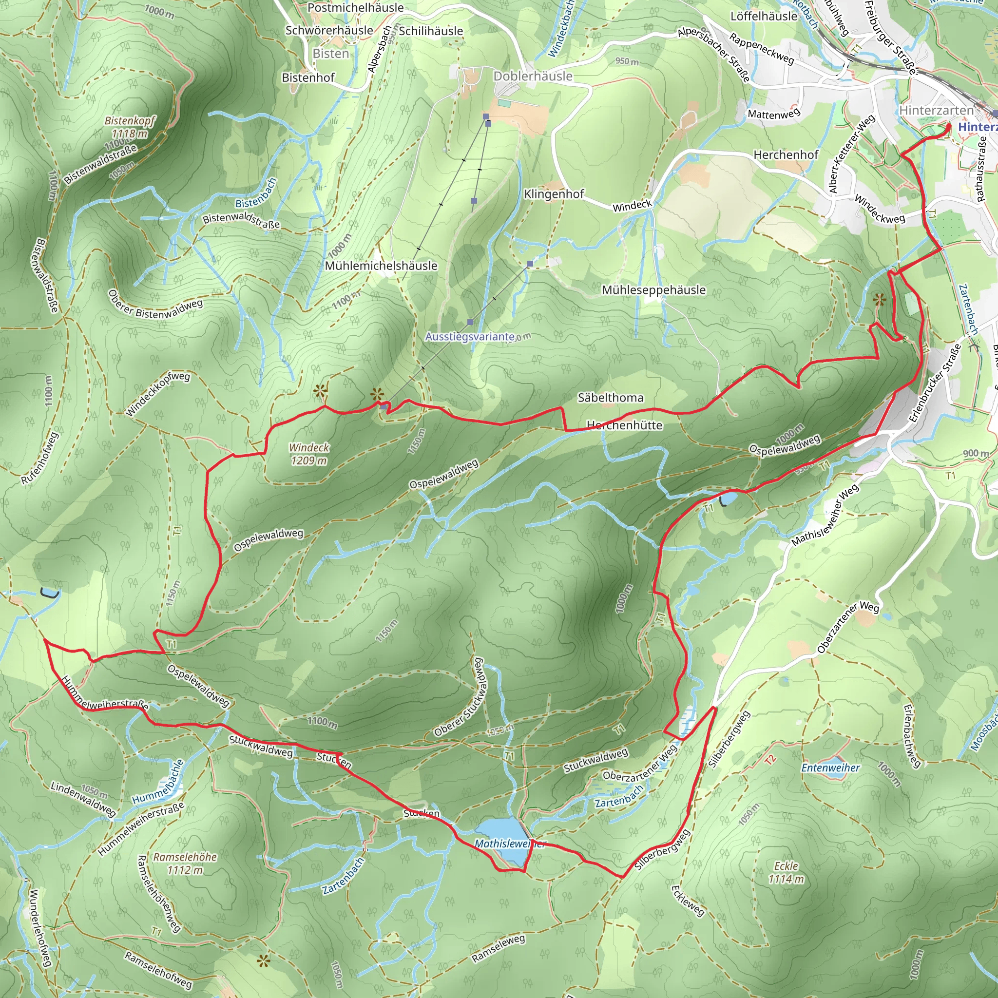
Nestled in the enchanting Black Forest region of Germany, the Mathisleweiher via Geniesserpfad Saebelthomaweg offers a captivating loop trail that spans approximately 11 kilometers (about 6.8 miles) with an elevation gain of around 400 meters (approximately 1,312 feet). This medium-difficulty trail begins near the picturesque area of Breisgau-Hochschwarzwald, providing hikers with a delightful blend of natural beauty and cultural history.
Getting There
To reach the trailhead, travelers can opt for public transport or drive. If you're using public transport, the nearest major city is Freiburg im Breisgau. From Freiburg, take a regional train to Hinterzarten, which is well-connected and offers a scenic journey through the Black Forest. From Hinterzarten, local buses or a short taxi ride can take you to the trailhead. For those driving, the trailhead is accessible via the B31 road, with parking available near the starting point.
Trail Highlights
Mathisleweiher Lake
One of the trail's most enchanting features is the serene Mathisleweiher Lake. Located roughly 3 kilometers (1.9 miles) into the hike, this tranquil spot is perfect for a short rest. The lake is surrounded by lush forest, offering a peaceful ambiance and opportunities for wildlife spotting. Keep an eye out for local bird species and the occasional deer.
Saebelthomaweg Path
As you continue along the Geniesserpfad Saebelthomaweg, the trail meanders through dense woodlands and open meadows, providing a diverse hiking experience. The path is well-marked, but it's advisable to use the HiiKER app for navigation to ensure you stay on track. The trail's elevation gain is gradual, making it accessible for hikers with moderate experience.
Historical Significance
The Black Forest region is steeped in history, and this trail is no exception. The area around Breisgau-Hochschwarzwald has been inhabited since ancient times, with evidence of Roman settlements. The trail itself passes through landscapes that have inspired countless legends and folklore, adding a mystical element to your hike. As you walk, imagine the tales of the Brothers Grimm, who drew inspiration from this very region.
Flora and Fauna
The trail offers a rich tapestry of flora and fauna. Depending on the season, you may encounter vibrant wildflowers, towering fir trees, and a variety of mushrooms. The Black Forest is home to diverse wildlife, including foxes, badgers, and numerous bird species. Hikers are encouraged to respect the natural habitat and observe wildlife from a distance.
Practical Tips
Given the trail's moderate difficulty, it's important to wear sturdy hiking boots and bring sufficient water and snacks. Weather in the Black Forest can be unpredictable, so dressing in layers is recommended. The trail is open year-round, but the best times to visit are spring and autumn when the weather is mild, and the landscape is particularly stunning.
Embarking on the Mathisleweiher via Geniesserpfad Saebelthomaweg is a journey through the heart of the Black Forest, offering a perfect blend of natural beauty, historical intrigue, and a touch of magic.
Comments and Reviews
User comments, reviews and discussions about the Mathisleweiher via Geniesserpfad Saebelthomaweg, Germany.
4.38
average rating out of 5
8 rating(s)
