
Download
3D Flyover
Add to list
More
9.7 km
~2 hrs
46 m
Loop
“Explore a scenic 10 km loop near Bonn, blending Rhine River views, historical sites, and serene landscapes.”
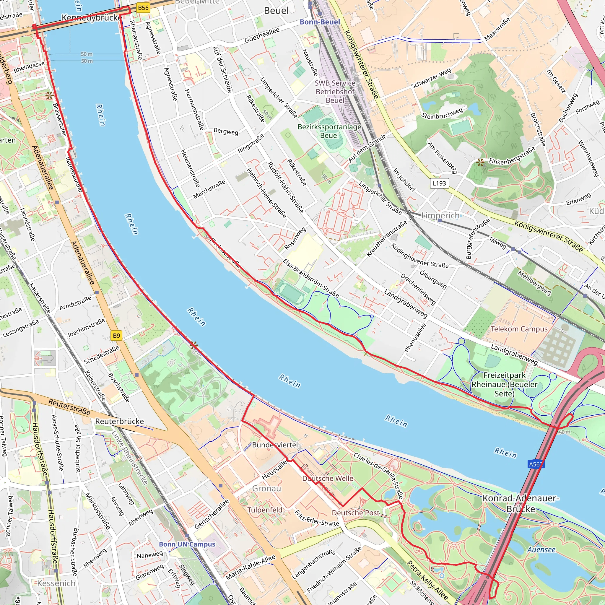
Starting near Bonn, Germany, the Rhine and Annaberger Bach Loop via Rheinsteig is a captivating 10 km (approximately 6.2 miles) loop trail with no significant elevation gain, making it accessible for hikers of varying skill levels. This medium-difficulty trail offers a blend of natural beauty, historical landmarks, and serene landscapes.
Getting There
To reach the trailhead, you can either drive or use public transportation. If driving, set your GPS to the nearest known address: Königswinter, a charming town near Bonn. For those using public transport, take a train to Königswinter station. From there, it's a short walk to the trailhead.
Trail Overview
The trail begins near the banks of the Rhine River, offering stunning views of the waterway. As you start your hike, you'll follow the well-marked Rheinsteig trail, which is renowned for its scenic beauty and historical significance. The Rheinsteig is a long-distance hiking trail that stretches along the Rhine River, known for its picturesque landscapes and cultural landmarks.
Key Landmarks and Points of Interest
Rhine River Views
The initial part of the trail runs parallel to the Rhine River, providing breathtaking views of the water and the surrounding hills. This section is relatively flat, making it an easy and enjoyable start to your hike.
Annaberger Bach
As you progress, you'll encounter the Annaberger Bach, a serene stream that adds to the trail's natural charm. The sound of flowing water and the lush greenery create a peaceful atmosphere, perfect for a relaxing hike.
Historical Significance
The region around Bonn and Königswinter is steeped in history. Keep an eye out for remnants of ancient Roman settlements and medieval castles that dot the landscape. One notable landmark is the Drachenfels Castle, which can be seen from certain points along the trail. This castle has a rich history dating back to the 12th century and offers a glimpse into the region's past.
Nature and Wildlife
The trail is home to a diverse range of flora and fauna. As you hike, you'll pass through dense forests, open meadows, and along the banks of the Annaberger Bach. Look out for local wildlife such as deer, foxes, and a variety of bird species. The area is particularly beautiful in spring and autumn when the foliage is vibrant and colorful.
Navigation and Safety
The trail is well-marked with Rheinsteig signs, but it's always a good idea to have a reliable navigation tool. HiiKER is an excellent app for this purpose, providing detailed maps and real-time tracking to ensure you stay on course.
Final Stretch
As you near the end of the loop, the trail will bring you back towards the Rhine River, offering one last opportunity to soak in the stunning views. The final stretch is as gentle as the beginning, making for a pleasant and satisfying conclusion to your hike.
This 10 km loop trail near Bonn offers a perfect blend of natural beauty, historical landmarks, and serene landscapes, making it a must-visit for any hiking enthusiast.
What to expect?
Activity types
Comments and Reviews
User comments, reviews and discussions about the Rhine and Annaberger Bach Loop via Rheinsteig, Germany.
5.0
average rating out of 5
1 rating(s)


