Download
3D Flyover
Add to list
More
12.2 km
~3 hrs 32 min
665 m
Point-to-Point
“Challenge yourself on a scenic German trail, rich in nature, history, and panoramic views.”
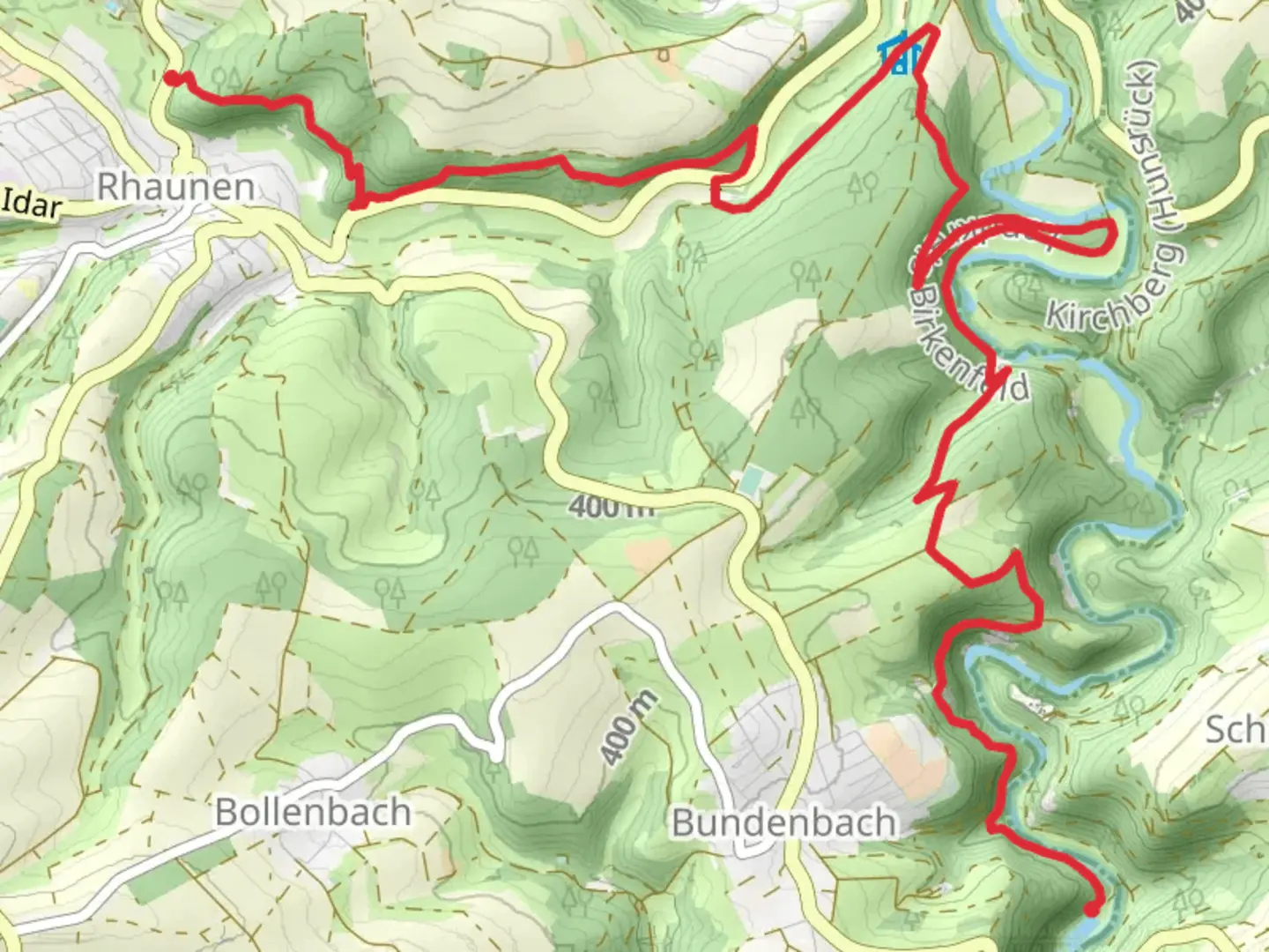
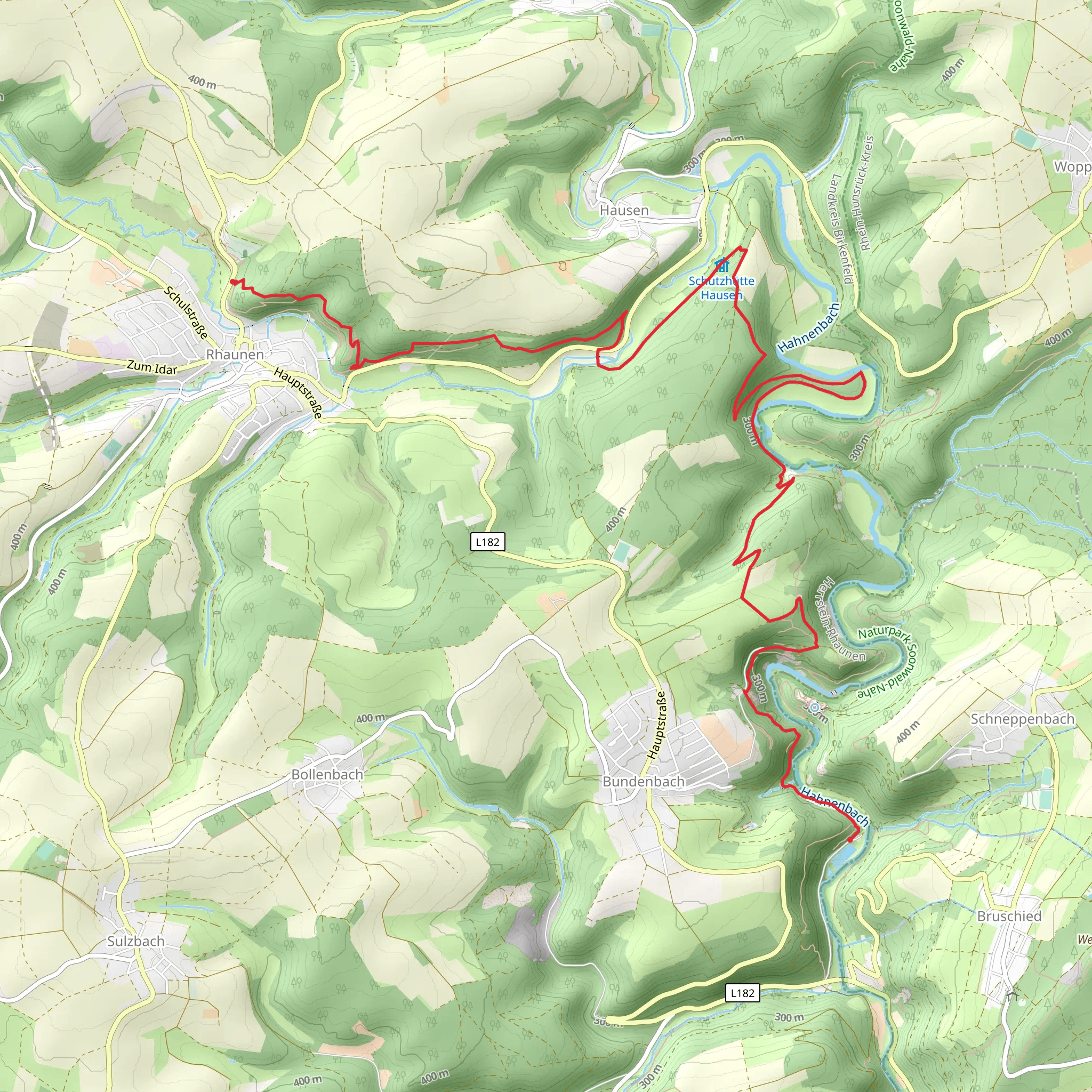
Nestled in the scenic landscapes of Germany, the trail from Reinhardtsmuehle to Rhaunen via the Saar-Hunsrueck Steig offers a challenging yet rewarding hiking experience. Spanning approximately 12 kilometers (about 7.5 miles) with an elevation gain of around 600 meters (approximately 1,970 feet), this point-to-point trail is best suited for experienced hikers seeking a rigorous adventure.
Getting There
The trailhead is conveniently located near Birkenfeld, Germany. For those traveling by car, Birkenfeld is accessible via the A62 motorway, with ample parking available near the trail's starting point. If you prefer public transport, the nearest major train station is in Idar-Oberstein, from where you can catch a local bus to Birkenfeld. From there, a short taxi ride or local bus can take you to the trailhead.
Trail Highlights
Natural Beauty
As you embark on this journey, you'll traverse through the enchanting Saar-Hunsrueck Nature Park, renowned for its lush forests, rolling hills, and diverse wildlife. The trail meanders through dense woodlands, offering a serene escape into nature. Keep an eye out for native wildlife such as deer and various bird species that inhabit the area.
Elevation and Terrain
The trail's elevation gain of 600 meters (1,970 feet) presents a challenging ascent, particularly in the initial stages. The path is well-marked but can be steep and rocky in sections, requiring sturdy hiking boots and a good level of fitness. As you climb, you'll be rewarded with panoramic views of the surrounding countryside, making the effort worthwhile.
Historical Significance
The region is steeped in history, with remnants of ancient settlements and medieval castles dotting the landscape. As you hike, you'll pass near the ruins of Wildenburg Castle, a testament to the area's rich past. This castle, dating back to the 12th century, offers a glimpse into the medieval history of the Hunsrueck region.
Navigation and Safety
Given the trail's difficulty, it's advisable to use a reliable navigation tool like HiiKER to ensure you stay on track. The trail is well-signposted, but weather conditions can change rapidly, so be prepared with appropriate gear, including rain protection and layers for warmth. Always carry sufficient water and snacks, as there are limited facilities along the route.
Final Stretch
As you approach Rhaunen, the trail descends gently, offering a pleasant end to your hike. The village of Rhaunen is a charming destination, where you can relax and enjoy local hospitality. Whether you're drawn by the natural beauty, the historical intrigue, or the physical challenge, this trail promises an unforgettable hiking experience in the heart of Germany.
Comments and Reviews
User comments, reviews and discussions about the Reinhardtsmuehle to Rhaunen via Saar-Hunsrueck Steig, Germany.
4.33
average rating out of 5
6 rating(s)
