Stauweiher, Unterer-Oberer Teich, Hunenburg, Palsterkamper Berg and Bußberg Loop
Download
3D Flyover
Add to list
More
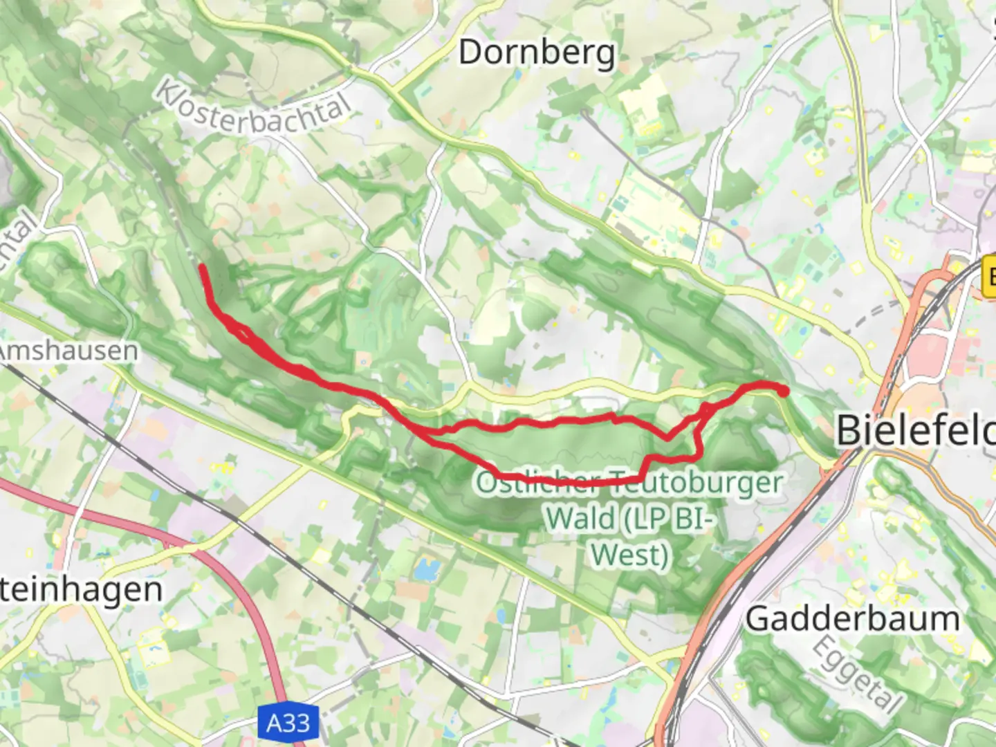
14.1 km
~3 hrs 21 min
328 m
Loop
“This scenic trail near Bielefeld weaves through nature's beauty and historical remnants for an enriching adventure.”
Nestled near Bielefeld, Germany, this captivating loop trail spans approximately 14 kilometers (about 8.7 miles) with an elevation gain of around 300 meters (approximately 984 feet). This medium-difficulty hike offers a delightful blend of natural beauty and historical intrigue, making it a rewarding adventure for those who embark on it.
Getting There
The trailhead is conveniently accessible by both car and public transport. If you're driving, you can park near the starting point at the edge of Bielefeld. For those using public transport, Bielefeld is well-connected by train, and from the main station, local buses can take you close to the trailhead. Check local schedules for the most current routes and times.
Trail Highlights
Stauweiher and Unterer-Oberer Teich
As you begin your journey, you'll encounter the serene Stauweiher, a picturesque reservoir that sets the tone for the natural wonders ahead. The trail then leads you to the Unterer and Oberer Teich, two charming ponds that are perfect spots for a brief rest or a photo opportunity. These bodies of water are home to a variety of bird species, so keep your binoculars handy for some birdwatching.
Hunenburg
Continuing along the path, you'll reach the Hunenburg, an area steeped in history. This site was once home to a medieval castle, and while the structure itself no longer stands, the remnants and the surrounding landscape offer a glimpse into the past. It's a great place to pause and imagine the historical significance of the region.
Palsterkamper Berg
The trail then ascends to Palsterkamper Berg, providing a moderate challenge with its elevation gain. As you climb, you'll be rewarded with sweeping views of the surrounding countryside. The ascent is gradual, making it manageable for most hikers, but be sure to pace yourself and enjoy the panoramic vistas.
Bußberg
As you make your way towards Bußberg, the trail meanders through lush forests and open fields, offering a diverse range of flora and fauna. This section of the hike is particularly enchanting in the spring and autumn months when the colors of the landscape are at their most vibrant.
Navigation and Safety
For navigation, the HiiKER app is an excellent tool to ensure you stay on track. The trail is well-marked, but having a digital map can provide extra assurance. As with any hike, it's important to wear appropriate footwear, carry sufficient water, and be prepared for changing weather conditions.
Historical Significance
The region around Bielefeld has a rich history, with evidence of settlements dating back to the medieval period. The Hunenburg area, in particular, offers a fascinating glimpse into the past, with its historical significance as a former castle site. Exploring this trail not only connects you with nature but also with the stories of those who once inhabited this land.
Embarking on this loop trail near Bielefeld promises a day filled with natural beauty, historical exploration, and the satisfaction of a well-earned adventure.

What to expect?
Activity types
Comments and Reviews
User comments, reviews and discussions about the Stauweiher, Unterer-Oberer Teich, Hunenburg, Palsterkamper Berg and Bußberg Loop, Germany.
average rating out of 5
0 rating(s)