Download
3D Flyover
Add to list
More
8.1 km
~1 hrs 55 min
181 m
Loop
“Experience panoramic views, historic landmarks, and rich biodiversity on the 8 km Oberer Teich via Huegelland Weg loop trail.”
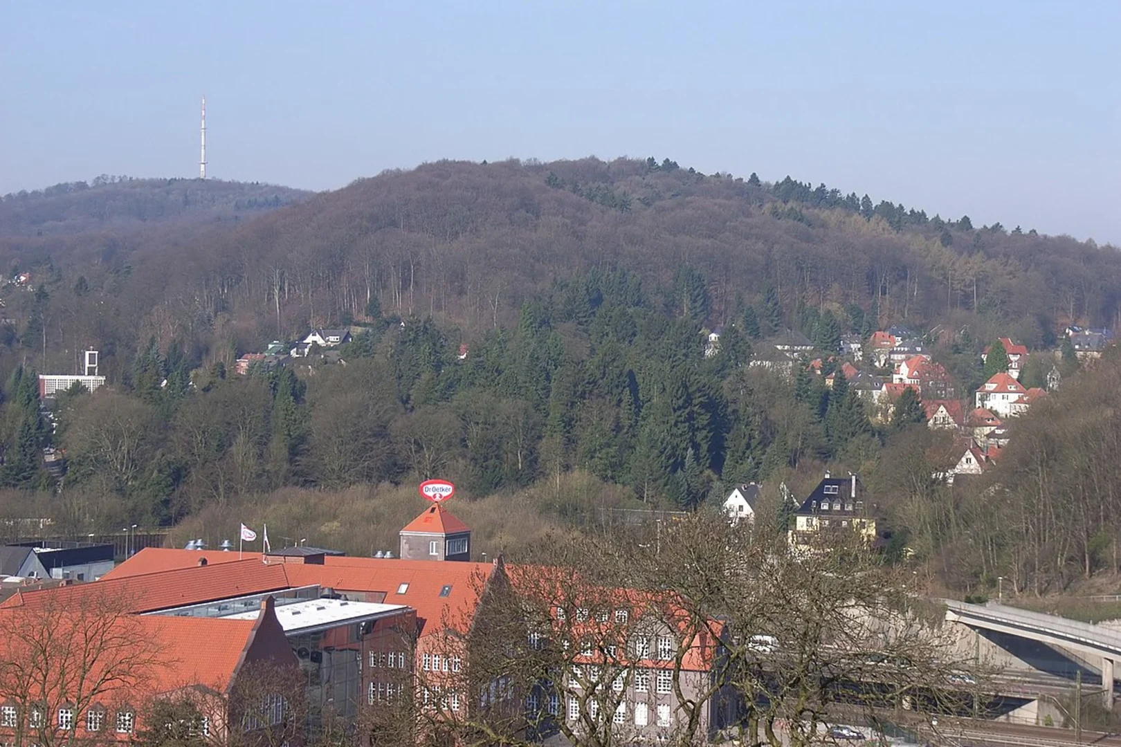
Starting near Bielefeld, Germany, the Oberer Teich via Huegelland Weg is a loop trail that spans approximately 8 km (around 5 miles) with an elevation gain of about 100 meters (328 feet). This trail is rated as medium difficulty, making it suitable for moderately experienced hikers.
Getting There
To reach the trailhead, you can either drive or use public transport. If you're driving, set your GPS to the nearest known address, which is near the Sparrenburg Castle in Bielefeld. For those using public transport, Bielefeld Hauptbahnhof (main train station) is well-connected by regional and national trains. From there, you can take a local bus to the Sparrenburg Castle area, which is a short walk from the trailhead.
Trail Overview
The trail begins near the historic Sparrenburg Castle, a significant landmark dating back to the 13th century. The castle offers panoramic views of Bielefeld and the surrounding Teutoburg Forest, making it a great spot to start your hike. As you set off, you'll initially follow a well-marked path that gradually ascends through mixed woodlands.
Key Sections and Landmarks
Sparrenburg Castle to Oberer Teich
The first section of the trail takes you from Sparrenburg Castle to Oberer Teich, a serene pond surrounded by lush greenery. This part of the trail is relatively easy, with a gentle incline. Keep an eye out for various bird species that inhabit the area, including woodpeckers and songbirds. The distance to Oberer Teich is approximately 3 km (1.86 miles) from the starting point.
Oberer Teich to Huegelland Weg
From Oberer Teich, the trail continues towards Huegelland Weg. This section involves a moderate climb, gaining about 50 meters (164 feet) in elevation over 2 km (1.24 miles). The path here is a bit narrower and more rugged, so sturdy hiking boots are recommended. Along the way, you'll pass through dense forest areas rich in flora, including oak and beech trees.
Huegelland Weg to Return Loop
After reaching the highest point on Huegelland Weg, the trail begins to loop back towards the starting point. This section is mostly downhill, offering a more relaxed hike. The descent provides stunning views of the surrounding countryside, especially during the autumn months when the foliage turns vibrant shades of red and gold. The return loop is about 3 km (1.86 miles) and brings you back to Sparrenburg Castle.
Navigation and Safety
For navigation, it's advisable to use the HiiKER app, which provides detailed maps and real-time GPS tracking. The trail is well-marked, but having a reliable navigation tool ensures you stay on the right path.
Historical Significance
The region around Bielefeld and the Teutoburg Forest is steeped in history. Sparrenburg Castle itself was a strategic fortification during the Middle Ages and played a crucial role in regional conflicts. The Teutoburg Forest is also famous for the Battle of the Teutoburg Forest in 9 AD, where Germanic tribes ambushed and defeated three Roman legions.
Flora and Fauna
The trail offers a rich tapestry of natural beauty. In addition to the diverse birdlife, you might encounter deer, foxes, and various small mammals. The forest floor is often carpeted with wildflowers in the spring and summer, adding bursts of color to your hike.
By preparing adequately and using reliable navigation tools like HiiKER, you can fully enjoy the natural beauty and historical richness of the Oberer Teich via Huegelland Weg trail.

What to expect?
Activity types
Comments and Reviews
User comments, reviews and discussions about the Oberer Teich via Huegelland Weg, Germany.
4.8
average rating out of 5
5 rating(s)