Download
3D Flyover
Add to list
More
14.6 km
~4 hrs 25 min
899 m
Loop
“Embark on the Warmensteinach Gelber Ringweg for a challenging 15 km hike rich in nature and history.”
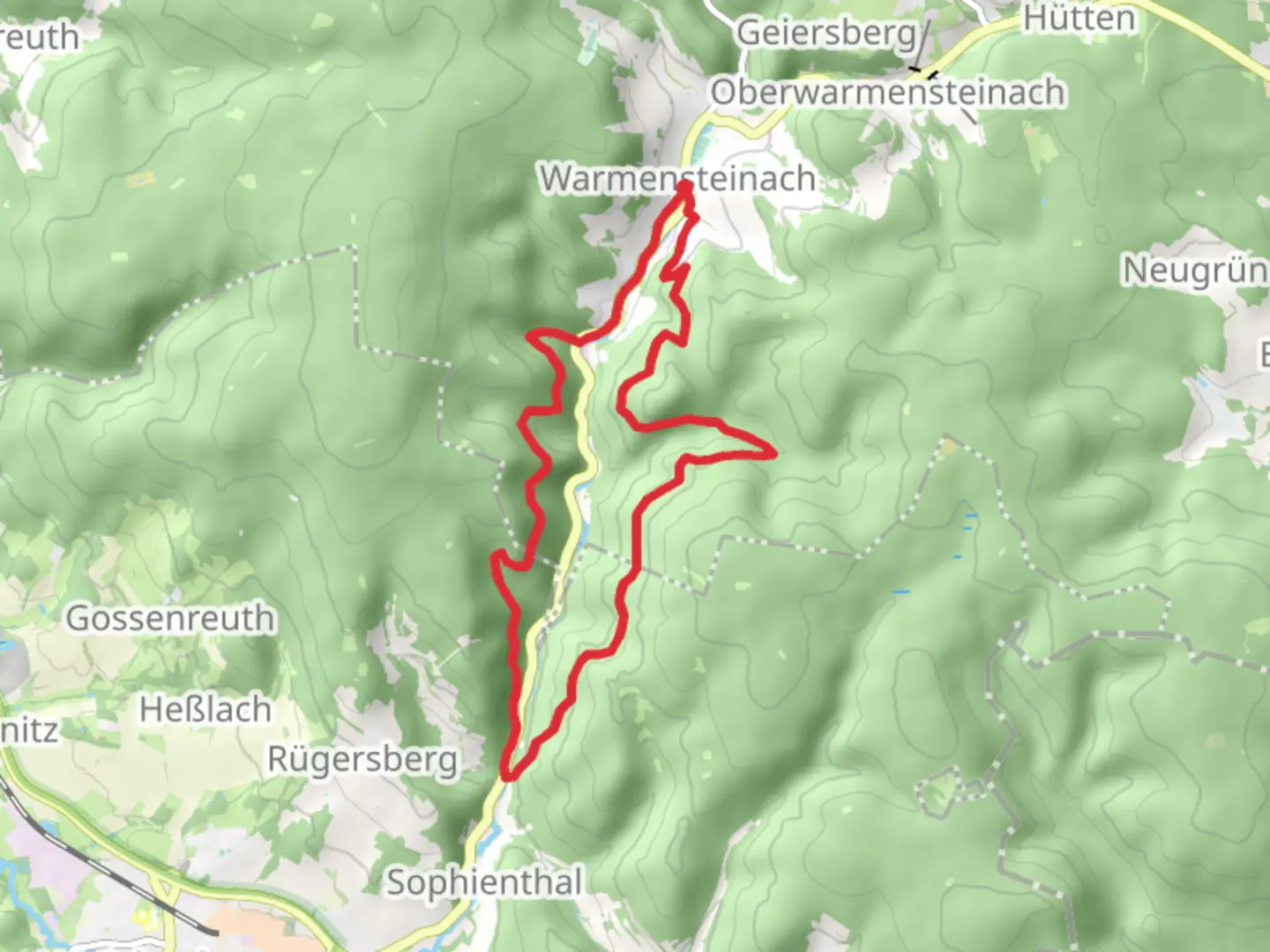
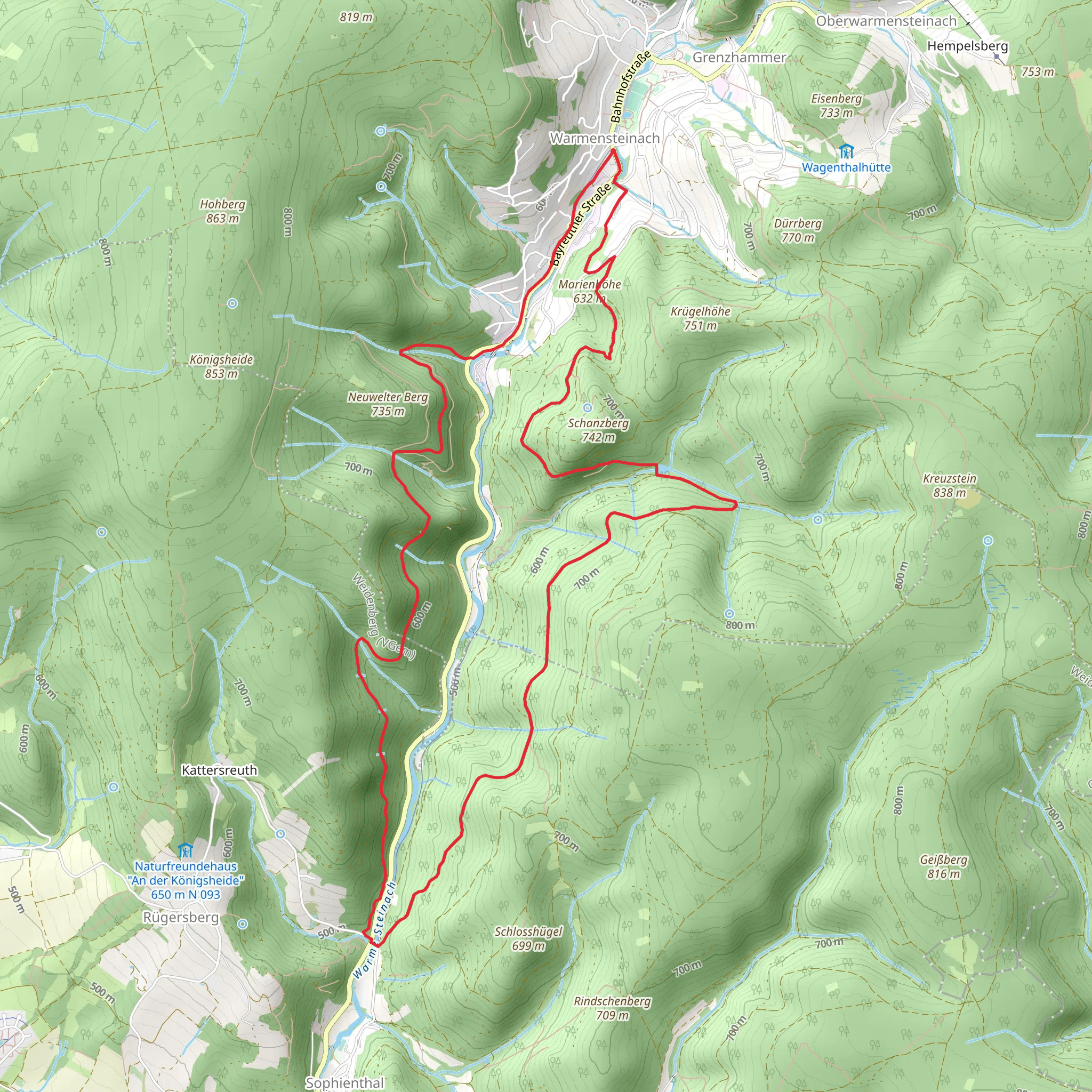
Starting near Bayreuth, Germany, the Warmensteinach Gelber Ringweg is a scenic loop trail that spans approximately 15 kilometers (9.3 miles) with an elevation gain of around 900 meters (2,953 feet). This medium-difficulty trail offers a rich blend of natural beauty, historical landmarks, and diverse wildlife, making it a rewarding experience for hikers.
Getting There
To reach the trailhead, you can either drive or use public transport. If you're driving, head towards Warmensteinach, which is easily accessible from Bayreuth. For those using public transport, take a train to Bayreuth and then a bus to Warmensteinach. The nearest significant landmark to the trailhead is the Warmensteinach Tourist Information Center.
Trail Overview
The trail begins with a gentle ascent through dense forests, where you'll be surrounded by towering trees and the soothing sounds of nature. As you progress, the path becomes steeper, offering a more challenging climb. The first significant landmark you'll encounter is the Ochsenkopf, the second-highest peak in the Fichtel Mountains, standing at 1,024 meters (3,360 feet). This section of the trail provides stunning panoramic views of the surrounding landscape.
Historical Significance
The region around Warmensteinach is steeped in history. During your hike, you'll come across remnants of old mining operations, which date back to the Middle Ages. These historical sites offer a glimpse into the area's rich industrial past. Additionally, the trail passes by several traditional Bavarian villages, where you can observe well-preserved architecture and perhaps even interact with locals who can share stories about the region's history.
Flora and Fauna
The Warmensteinach Gelber Ringweg is a haven for nature enthusiasts. The trail is home to a variety of flora, including rare wildflowers and ancient trees. Keep an eye out for wildlife such as deer, foxes, and a variety of bird species. The diverse ecosystem makes this trail particularly interesting for those keen on botany and ornithology.
Navigation and Safety
Given the trail's moderate difficulty, it's essential to be well-prepared. Use HiiKER for accurate navigation and to stay updated on trail conditions. The path is well-marked, but having a reliable navigation tool will ensure you stay on track. Wear sturdy hiking boots, carry sufficient water, and pack some snacks for energy. The weather can be unpredictable, so bring a rain jacket and dress in layers.
Points of Interest
Around the halfway mark, you'll reach the Weißmainquelle, the source of the White Main River. This is a perfect spot to take a break and enjoy the serene environment. Further along, you'll pass by the Fichtelsee, a picturesque lake ideal for a quick rest or even a picnic. The final stretch of the trail takes you through open meadows, offering a different but equally beautiful landscape compared to the forested sections.
Final Stretch
As you near the end of the loop, the trail descends gradually back towards Warmensteinach. This section is less strenuous, allowing you to relax and reflect on the journey. The trail concludes back at the Warmensteinach Tourist Information Center, where you can find additional resources and perhaps plan your next adventure in this beautiful region.
What to expect?
Activity types
Comments and Reviews
User comments, reviews and discussions about the Warmensteinach Gelber Ringweg, Germany.
4.0
average rating out of 5
1 rating(s)
